Property Record
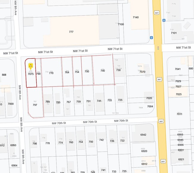
770 Nw 71St St, Miami, FL 33150

NEARBY LISTINGS FOR SALE OR LEASE
Property Detail
770 Nw 71St St
Miami-Miami Beach-Kendall, FL
Henry Ford Sub No 2
01-3114-019-0240
HENRY FORD SUB NO 2 PB 9-119 LOT 3 BLK 2 LOT SIZE 4199 SQ FT OR 19079-3957 0400 2 (5) COC 24866-2115 08 2006 2
Industrialacreage
Miami/Dade
AH
Florida
12086C0304L
3
2024
0.33 AC
2025
Miami
001901
South Florida
DEMOGRAPHICS near 770 Nw 71St St
1 Mile
3 Mile
5 Mile
2024 Total Population
31,181
205,929
529,324
2029 Population
30,972
203,181
519,931
Pop Growth 2024-2029
(0.67%)
(1.33%)
(1.77%)
Average Age
37
39
41
2024 Total Households
11,316
75,338
199,426
HH Growth 2024-2029
(0.98%)
(1.32%)
(1.74%)
Median Household Inc
$25,612
$42,411
$44,739
Avg Household Size
2.70
2.60
2.50
2024 Avg HH Vehicles
1.00
1.00
1.00
Median Home Value
$227,297
$346,104
$354,190
Median Year Built
1964
1965
1969
Nearby Places
Map Layers
Map Styles
 Street
 Aerial
- Restaurants
- Banks
- Shops
- Fitness
- Groceries
PUBLIC TRANSPORTATION
COMMUTER RAIL
Tri-Rail and Metrorail Transfer Station (Tri-County Commuter - South Florida Regional Transportation Authority (Tri-Rail))
DRIVE
WALK
Distance
Tri-Rail and Metrorail Transfer Station (Tri-County Commuter - South Florida Regional Transportation Authority (Tri-Rail))
11 min
3.6 mi
Hialeah Market (Tri-County Commuter - South Florida Regional Transportation Authority (Tri-Rail))
DRIVE
WALK
Distance
Hialeah Market (Tri-County Commuter - South Florida Regional Transportation Authority (Tri-Rail))
10 min
5.8 mi
AIRPORT
Miami International
DRIVE
WALK
Distance
Miami International
26 min
13.5 mi
Fort Lauderdale/Hollywood International
DRIVE
WALK
Distance
Fort Lauderdale/Hollywood International
28 min
19.1 mi
Freight Ports
Port of Miami
DRIVE
WALK
Distance
Port of Miami
1 min
4.6 mi
SALE & LEASE HISTORY
LISTING DATE
SALE/LEASE

Oct 14, 2020
For Sale
Jan 25, 2018
For Lease
Jan 25, 2018
For Sale
Nearby Properties
Address
Land Use
TOTAL SIZE
Lot Size
Zoning
Address
Land Use
TOTAL SIZE
Lot Size
Zoning
16.13 AC
6100
Address
Land Use
TOTAL SIZE
Lot Size
Zoning
1,938,271 SF
6.62 AC
6402
Address
Land Use
TOTAL SIZE
Lot Size
Zoning
1,075,124 SF
1.61 AC
6405
Address
Land Use
TOTAL SIZE
Lot Size
Zoning
256,089 SF
20.35 AC
7600
Address
Land Use
TOTAL SIZE
Lot Size
Zoning
585,775 SF
1.86 AC
6101
Address
Land Use
TOTAL SIZE
Lot Size
Zoning
868,860 SF
2.14 AC
6402
Address
Land Use
TOTAL SIZE
Lot Size
Zoning
615,785 SF
3.81 AC
4604
Address
Land Use
TOTAL SIZE
Lot Size
Zoning
570,694 SF
1.37 AC
4604
Address
Land Use
TOTAL SIZE
Lot Size
Zoning
566,165 SF
2.09 AC
6101
Address
Land Use
TOTAL SIZE
Lot Size
Zoning
701,056 SF
1.58 AC
6402
Address
Land Use
TOTAL SIZE
Lot Size
Zoning
600,250 SF
2.03 AC
6402
Address
Land Use
TOTAL SIZE
Lot Size
Zoning
627,685 SF
2.06 AC
6100
Address
Land Use
TOTAL SIZE
Lot Size
Zoning
519,775 SF
2.27 AC
6100
Address
Land Use
TOTAL SIZE
Lot Size
Zoning
768,663 SF
2.85 AC
4600
Address
Land Use
TOTAL SIZE
Lot Size
Zoning
595,100 SF
0.92 AC
4604
Address
Land Use
TOTAL SIZE
Lot Size
Zoning
428,154 SF
1.39 AC
6101
Address
Land Use
TOTAL SIZE
Lot Size
Zoning
221,570 SF
1.79 AC
6100
Address
Land Use
TOTAL SIZE
Lot Size
Zoning
264,272 SF
2.18 AC
6110
Address
Land Use
TOTAL SIZE
Lot Size
Zoning
545,562 SF
1.71 AC
6110
Address
Land Use
TOTAL SIZE
Lot Size
Zoning
469,492 SF
2.06 AC
4604
Address
Land Use
TOTAL SIZE
Lot Size
Zoning
499,370 SF
1.45 AC
7000
Address
Land Use
TOTAL SIZE
Lot Size
Zoning
520,016 SF
1.89 AC
5000
Address
Land Use
TOTAL SIZE
Lot Size
Zoning
299,169 SF
1.21 AC
6107
Address
Land Use
TOTAL SIZE
Lot Size
Zoning
456,344 SF
1.29 AC
6110
Address
Land Use
TOTAL SIZE
Lot Size
Zoning
763,761 SF
8 AC
6402
Address
Land Use
TOTAL SIZE
Lot Size
Zoning
803,285 SF
63.32 AC
7100
Address
Land Use
TOTAL SIZE
Lot Size
Zoning
214,154 SF
0.66 AC
6100
Address
Land Use
TOTAL SIZE
Lot Size
Zoning
267,733 SF
1.79 AC
6100
Address
Land Use
TOTAL SIZE
Lot Size
Zoning
367,056 SF
1.26 AC
6100
Address
Land Use
TOTAL SIZE
Lot Size
Zoning
179,418 SF
1.95 AC
6101
The World's #1 Commercial Real Estate Marketplace
Connect with us
© 2025 CoStar Group
The information above has been obtained from sources believed reliable. While we do not doubt its accuracy we have not verified it and make no guarantee, warranty or representation about it. It is your responsibility to independently confirm its accuracy and completeness. Any projections, opinions, assumptions, or estimates used are for example only and do not represent the current or future performance of the property. The value of this transaction to you depends on tax and other factors which should be evaluated by your tax, financial, and legal advisors. You and your advisors should conduct a careful, independent investigation of the property to determine to your satisfaction the suitability of the property for your needs.