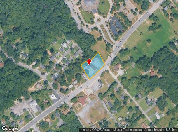
Property Record
7713 Allentown Rd, Fort Washington, MD 20744


NEARBY LISTINGS FOR SALE OR LEASE
Property Detail
7713 Allentown Rd
Washington-Arlington-Alexandria, DC-VA-MD-WV
Burton Knolls
12-1284330
BURTON KNOLLS
Storebuilding
Prince George's
X
Maryland
24033C0240E
48
2023
0.79 AC
2025
Branch Avenue Corridor
801407
Washington, DC
1,884 SF
DEMOGRAPHICS near 7713 Allentown Rd
1 Mile
3 Mile
5 Mile
2024 Total Population
7,805
69,142
219,149
2029 Population
7,572
67,244
211,187
Pop Growth 2024-2029
(2.99%)
(2.75%)
(3.63%)
Average Age
43
42
40
2024 Total Households
2,690
25,480
84,323
HH Growth 2024-2029
(3.09%)
(2.81%)
(3.89%)
Median Household Inc
$118,395
$92,513
$78,486
Avg Household Size
2.80
2.60
2.50
2024 Avg HH Vehicles
2.00
2.00
2.00
Median Home Value
$377,257
$354,059
$355,949
Median Year Built
1976
1974
1973
Nearby Places
Map Layers
Map Styles
 Street
 Aerial
- Restaurants
- Banks
- Shops
- Fitness
- Groceries
PUBLIC TRANSPORTATION
AIRPORT
Ronald Reagan Washington Ntl
DRIVE
WALK
Distance
Ronald Reagan Washington Ntl
29 min
12.8 mi
Washington Dulles International
DRIVE
WALK
Distance
Washington Dulles International
64 min
40.7 mi
Freight Ports
Port of Baltimore
DRIVE
WALK
Distance
Port of Baltimore
66 min
44.0 mi
Nearby Properties
Address
Land Use
TOTAL SIZE
Lot Size
Zoning
Address
Land Use
TOTAL SIZE
Lot Size
Zoning
450 SF
20.72 AC
RMF20
Address
Land Use
TOTAL SIZE
Lot Size
Zoning
374,097 SF
36.22 AC
NAC
Address
Land Use
TOTAL SIZE
Lot Size
Zoning
29.24 AC
RMF20
Address
Land Use
TOTAL SIZE
Lot Size
Zoning
380 SF
17.44 AC
RMF20
Address
Land Use
TOTAL SIZE
Lot Size
Zoning
701 SF
29.42 AC
RMF20
Address
Land Use
TOTAL SIZE
Lot Size
Zoning
450 SF
21.14 AC
RMF20
Address
Land Use
TOTAL SIZE
Lot Size
Zoning
336,465 SF
1.38 AC
CSC
Address
Land Use
TOTAL SIZE
Lot Size
Zoning
21.48 AC
RMF20
Address
Land Use
TOTAL SIZE
Lot Size
Zoning
116 SF
10.37 AC
RMF20
Address
Land Use
TOTAL SIZE
Lot Size
Zoning
74.38 AC
IE
Address
Land Use
TOTAL SIZE
Lot Size
Zoning
300,005 SF
9.94 AC
RR
Address
Land Use
TOTAL SIZE
Lot Size
Zoning
7.65 AC
RMF20
Address
Land Use
TOTAL SIZE
Lot Size
Zoning
324 SF
8.52 AC
RMF48
Address
Land Use
TOTAL SIZE
Lot Size
Zoning
11.65 AC
RMF20
Address
Land Use
TOTAL SIZE
Lot Size
Zoning
434,910 SF
0.46 AC
RR
Address
Land Use
TOTAL SIZE
Lot Size
Zoning
297 SF
13.58 AC
RMF20
Address
Land Use
TOTAL SIZE
Lot Size
Zoning
8.02 AC
RMF20
Address
Land Use
TOTAL SIZE
Lot Size
Zoning
174,894 SF
7.54 AC
CGO
Address
Land Use
TOTAL SIZE
Lot Size
Zoning
161,410 SF
30 AC
RSF95
Address
Land Use
TOTAL SIZE
Lot Size
Zoning
5.83 AC
RMF20
Address
Land Use
TOTAL SIZE
Lot Size
Zoning
7 AC
RMF20
Address
Land Use
TOTAL SIZE
Lot Size
Zoning
1,217 SF
8.94 AC
RMF20
Address
Land Use
TOTAL SIZE
Lot Size
Zoning
164,340 SF
9.97 AC
IE
Address
Land Use
TOTAL SIZE
Lot Size
Zoning
0.72 AC
IE
Address
Land Use
TOTAL SIZE
Lot Size
Zoning
100,660 SF
9.12 AC
CGO
Address
Land Use
TOTAL SIZE
Lot Size
Zoning
78,713 SF
12.16 AC
RR
Address
Land Use
TOTAL SIZE
Lot Size
Zoning
301,033 SF
35.46 AC
RR
Address
Land Use
TOTAL SIZE
Lot Size
Zoning
120,986 SF
16.42 AC
RR
Address
Land Use
TOTAL SIZE
Lot Size
Zoning
123,516 SF
20 AC
RSF95
Address
Land Use
TOTAL SIZE
Lot Size
Zoning
126,798 SF
105.85 AC
RR
The World's #1 Commercial Real Estate Marketplace
Connect with us
© 2025 CoStar Group
The information above has been obtained from sources believed reliable. While we do not doubt its accuracy we have not verified it and make no guarantee, warranty or representation about it. It is your responsibility to independently confirm its accuracy and completeness. Any projections, opinions, assumptions, or estimates used are for example only and do not represent the current or future performance of the property. The value of this transaction to you depends on tax and other factors which should be evaluated by your tax, financial, and legal advisors. You and your advisors should conduct a careful, independent investigation of the property to determine to your satisfaction the suitability of the property for your needs.