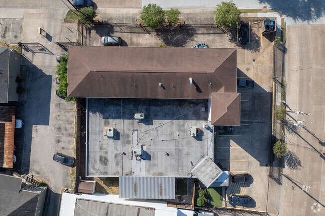
Property Record
7741 Tanglewilde St, Houston, TX 77036


Property Detail
7741 Tanglewilde St
0933340000002
RES E1 BLK 33 SHARPSTOWN COUNTRY CLUB TERRACE SEC 2
Retirementnursinghomecombined
HARRIS
C and X Area of minimal flood hazard, usually depicted on FIRMs as above the 500-year flood level.
Texas
2024
0.48 AC
2025
Southwest Beltway 8
433300
Houston
15,610 SF
Houston-Pasadena-The Woodlands, TX
NEARBY LISTINGS FOR SALE OR LEASE
-
-
View all Houston listings for sale on LoopNet.com
DEMOGRAPHICS near 7741 Tanglewilde St
1 mile
3 mile
5 mile
2024 Total Population
22,195
258,875
619,142
2029 Population
23,564
275,912
661,093
Pop Growth 2024-2029
+ 6.17%
+ 6.58%
+ 6.78%
Average Age
39
35
37
2024 Total Households
7,603
97,030
241,244
HH Growth 2024-2029
+ 6.25%
+ 6.72%
+ 6.98%
Median Household Inc
$55,883
$44,915
$55,753
Avg Household Size
2.70
2.60
2.50
2024 Avg HH Vehicles
2.00
1.00
2.00
Median Home Value
$253,707
$244,225
$297,288
Median Year Built
1969
1977
1979
Nearby Places
Map Layers
Map Styles
 Street
 Aerial
Transit
 Traffic
 Biking
Places
Listings with unknown addresses are not visible on the map
- Restaurants
- Banks
- Shops
- Fitness
- Groceries
PUBLIC TRANSPORTATION
AIRPORT
William P Hobby
Drive
Walk
Distance
William P Hobby
38 min
22.9 mi
George Bush Intcntl/Houston
Drive
Walk
Distance
George Bush Intcntl/Houston
43 min
31.5 mi
SALE & LEASE HISTORY
LISTING DATE
SALE/LEASE

Sep 20, 2024
For Sale
Jun 21, 2017
For Sale
Feb 03, 2020
For Sale
Nearby Properties
Address
Land Use
TOTAL SIZE
Lot Size
Zoning
Address
Land Use
TOTAL SIZE
Lot Size
Zoning
1,020,766 SF
3.08 AC
Address
Land Use
TOTAL SIZE
Lot Size
Zoning
878,129 SF
11.69 AC
Address
Land Use
TOTAL SIZE
Lot Size
Zoning
361,954 SF
14.43 AC
Address
Land Use
TOTAL SIZE
Lot Size
Zoning
627,632 SF
24.12 AC
Address
Land Use
TOTAL SIZE
Lot Size
Zoning
188,178 SF
18.49 AC
Address
Land Use
TOTAL SIZE
Lot Size
Zoning
769,005 SF
20.46 AC
Address
Land Use
TOTAL SIZE
Lot Size
Zoning
771,720 SF
19.28 AC
Address
Land Use
TOTAL SIZE
Lot Size
Zoning
383,540 SF
4.43 AC
Address
Land Use
TOTAL SIZE
Lot Size
Zoning
598,127 SF
4.14 AC
Address
Land Use
TOTAL SIZE
Lot Size
Zoning
340,136 SF
13.34 AC
Address
Land Use
TOTAL SIZE
Lot Size
Zoning
539,308 SF
21 AC
Address
Land Use
TOTAL SIZE
Lot Size
Zoning
351,042 SF
5 AC
Address
Land Use
TOTAL SIZE
Lot Size
Zoning
493,494 SF
13.54 AC
Address
Land Use
TOTAL SIZE
Lot Size
Zoning
700,828 SF
3.82 AC
Address
Land Use
TOTAL SIZE
Lot Size
Zoning
394,544 SF
2.62 AC
Address
Land Use
TOTAL SIZE
Lot Size
Zoning
165,703 SF
15.96 AC
Address
Land Use
TOTAL SIZE
Lot Size
Zoning
697,180 SF
2.90 AC
Address
Land Use
TOTAL SIZE
Lot Size
Zoning
843,830 SF
28.57 AC
Address
Land Use
TOTAL SIZE
Lot Size
Zoning
395,368 SF
10.85 AC
Address
Land Use
TOTAL SIZE
Lot Size
Zoning
665,550 SF
3.58 AC
Address
Land Use
TOTAL SIZE
Lot Size
Zoning
472,949 SF
15.64 AC
Address
Land Use
TOTAL SIZE
Lot Size
Zoning
340,944 SF
12.88 AC
Address
Land Use
TOTAL SIZE
Lot Size
Zoning
337,962 SF
4.78 AC
Address
Land Use
TOTAL SIZE
Lot Size
Zoning
872,548 SF
8.85 AC
Address
Land Use
TOTAL SIZE
Lot Size
Zoning
485,845 SF
23.48 AC
Address
Land Use
TOTAL SIZE
Lot Size
Zoning
322,894 SF
17.51 AC
Address
Land Use
TOTAL SIZE
Lot Size
Zoning
223,698 SF
20.42 AC
Address
Land Use
TOTAL SIZE
Lot Size
Zoning
287,569 SF
12 AC
Address
Land Use
TOTAL SIZE
Lot Size
Zoning
623,343 SF
22.89 AC
Address
Land Use
TOTAL SIZE
Lot Size
Zoning
725,466 SF
9.69 AC
The World's #1 Commercial Real Estate Marketplace
Connect with us
© 2026 CoStar Group
The information above has been obtained from sources believed reliable. While we do not doubt its accuracy we have not verified it and make no guarantee, warranty or representation about it. It is your responsibility to independently confirm its accuracy and completeness. Any projections, opinions, assumptions, or estimates used are for example only and do not represent the current or future performance of the property. The value of this transaction to you depends on tax and other factors which should be evaluated by your tax, financial, and legal advisors. You and your advisors should conduct a careful, independent investigation of the property to determine to your satisfaction the suitability of the property for your needs.