Property Record
7751 Amana Trl, Inver Grove Heights, MN 55077


NEARBY LISTINGS FOR SALE OR LEASE
Property Detail
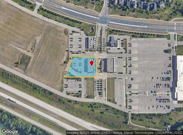
7751 Amana Trl
Minneapolis-St. Paul-Bloomington, MN-WI
Argenta Hills
20-12050-02-020
ARGENTA HILLS 2 2
Commercialnec
Dakota
X
Minnesota
27037C0105E
20
2024
1.10 AC
2024
Eagan
060505
Minneapolis/St Paul
7,770 SF
DEMOGRAPHICS near 7751 Amana Trl
1 Mile
3 Mile
5 Mile
2024 Total Population
3,481
42,060
124,287
2029 Population
3,645
42,914
127,049
Pop Growth 2024-2029
+ 4.71%
+ 2.03%
+ 2.22%
Average Age
38
41
41
2024 Total Households
1,105
16,532
50,270
HH Growth 2024-2029
+ 4.71%
+ 1.90%
+ 2.26%
Median Household Inc
$144,293
$100,543
$89,706
Avg Household Size
3.00
2.50
2.40
2024 Avg HH Vehicles
2.00
2.00
2.00
Median Home Value
$526,871
$394,078
$347,299
Median Year Built
2001
1990
1984
Nearby Places
Map Layers
Map Styles
 Street
 Aerial
- Restaurants
- Banks
- Shops
- Fitness
- Groceries
PUBLIC TRANSPORTATION
AIRPORT
Minneapolis-St Paul International/Wold-Chamberlain
DRIVE
WALK
Distance
Minneapolis-St Paul International/Wold-Chamberlain
16 min
9.5 mi
Freight Ports
Port Milwaukee
DRIVE
WALK
Distance
Port Milwaukee
370 min
334.4 mi
SALE & LEASE HISTORY
LISTING DATE
SALE/LEASE

Sep 25, 2016
For Lease
Sep 24, 2016
For Sale
Nearby Properties
Address
Land Use
TOTAL SIZE
Lot Size
Zoning
Address
Land Use
TOTAL SIZE
Lot Size
Zoning
479,742 SF
11.35 AC
Address
Land Use
TOTAL SIZE
Lot Size
Zoning
466,503 SF
28.74 AC
Address
Land Use
TOTAL SIZE
Lot Size
Zoning
587,427 SF
87.26 AC
Address
Land Use
TOTAL SIZE
Lot Size
Zoning
146,085 SF
46.83 AC
Address
Land Use
TOTAL SIZE
Lot Size
Zoning
Address
Land Use
TOTAL SIZE
Lot Size
Zoning
246,636 SF
7.20 AC
Address
Land Use
TOTAL SIZE
Lot Size
Zoning
293,970 SF
31.92 AC
Address
Land Use
TOTAL SIZE
Lot Size
Zoning
223,583 SF
5.32 AC
Address
Land Use
TOTAL SIZE
Lot Size
Zoning
381,158 SF
11.86 AC
Address
Land Use
TOTAL SIZE
Lot Size
Zoning
317,235 SF
32.38 AC
Address
Land Use
TOTAL SIZE
Lot Size
Zoning
300,000 SF
18.44 AC
Address
Land Use
TOTAL SIZE
Lot Size
Zoning
240,316 SF
9.57 AC
Address
Land Use
TOTAL SIZE
Lot Size
Zoning
605,774 SF
44.50 AC
Address
Land Use
TOTAL SIZE
Lot Size
Zoning
228,810 SF
6.30 AC
Address
Land Use
TOTAL SIZE
Lot Size
Zoning
Address
Land Use
TOTAL SIZE
Lot Size
Zoning
247,451 SF
9.57 AC
Address
Land Use
TOTAL SIZE
Lot Size
Zoning
Address
Land Use
TOTAL SIZE
Lot Size
Zoning
212,331 SF
9.27 AC
Address
Land Use
TOTAL SIZE
Lot Size
Zoning
163,985 SF
7.06 AC
Address
Land Use
TOTAL SIZE
Lot Size
Zoning
278,320 SF
31.12 AC
Address
Land Use
TOTAL SIZE
Lot Size
Zoning
1,339,582 SF
78.22 AC
Address
Land Use
TOTAL SIZE
Lot Size
Zoning
541,075 SF
88.93 AC
Address
Land Use
TOTAL SIZE
Lot Size
Zoning
206,503 SF
5.61 AC
Address
Land Use
TOTAL SIZE
Lot Size
Zoning
162,372 SF
9.11 AC
Address
Land Use
TOTAL SIZE
Lot Size
Zoning
482,008 SF
23.78 AC
Address
Land Use
TOTAL SIZE
Lot Size
Zoning
227,200 SF
14.78 AC
Address
Land Use
TOTAL SIZE
Lot Size
Zoning
532,778 SF
4.99 AC
Address
Land Use
TOTAL SIZE
Lot Size
Zoning
205,920 SF
16.68 AC
Address
Land Use
TOTAL SIZE
Lot Size
Zoning
217,832 SF
15.13 AC
The World's #1 Commercial Real Estate Marketplace
Connect with us
© 2025 CoStar Group
The information above has been obtained from sources believed reliable. While we do not doubt its accuracy we have not verified it and make no guarantee, warranty or representation about it. It is your responsibility to independently confirm its accuracy and completeness. Any projections, opinions, assumptions, or estimates used are for example only and do not represent the current or future performance of the property. The value of this transaction to you depends on tax and other factors which should be evaluated by your tax, financial, and legal advisors. You and your advisors should conduct a careful, independent investigation of the property to determine to your satisfaction the suitability of the property for your needs.