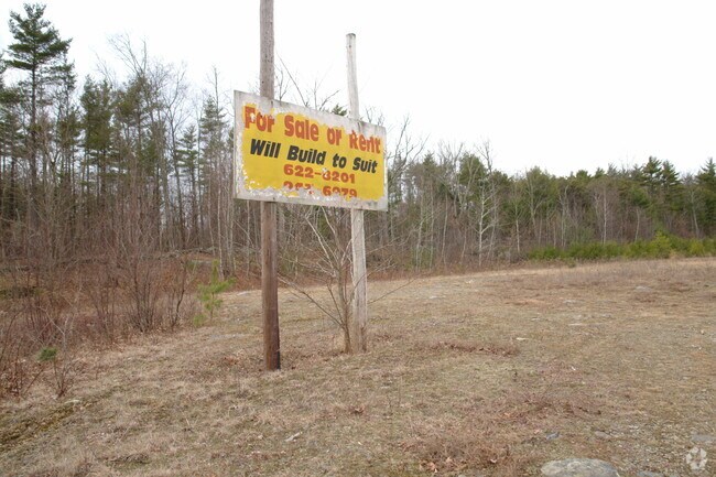
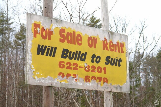
Property Record
7765 Route 32, Cairo, NY 12413

Save to a Folder
{{folder.Name}}
{{folder.ListingIds.length}} Properties
{{folder.ListingIds.length}} Property
Create a New Folder
Property Detail
7765 Route 32
192400-084-000-0006-038-000-0000
GREENE
Commercialacreage
New York
01 - NOT Z
38.000
B and X Area of moderate flood hazard, usually the area between the limits of the 100-year and 500-year floods.
3.70 AC
2025
Greene County
2025
Albany/Schenectady/Troy
080501
NEARBY LISTINGS FOR SALE OR LEASE
-
-
View all Cairo listings for sale on LoopNet.com
DEMOGRAPHICS near 7765 Route 32
1 mile
3 mile
5 mile
2025 Total Population
408
2,838
8,339
2030 Population
401
2,823
8,225
Pop Growth 2025-2030
(1.72%)
(0.53%)
(1.37%)
Average Age
43
44
44
2025 Total Households
162
1,179
3,573
HH Growth 2025-2030
(1.23%)
(0.42%)
(1.29%)
Median Household Inc
$96,211
$83,064
$75,872
Avg Household Size
2.40
2.30
2.30
2025 Avg HH Vehicles
2.00
2.00
2.00
Median Home Value
$247,777
$245,288
$253,251
Median Year Built
1978
1979
1978
Nearby Places
Map Layers
Map Styles
 Street
 Aerial
Layers
 Traffic
 Biking
Places
Listings with unknown addresses are not visible on the map
- Restaurants
- Banks
- Shops
- Fitness
- Groceries
Nearby Properties
Address
Land Use
TOTAL SIZE
Lot Size
Zoning
Address
Land Use
TOTAL SIZE
Lot Size
Zoning
72,654 SF
24.10 AC
01 - NOT Z
Address
Land Use
TOTAL SIZE
Lot Size
Zoning
1,800 SF
17.75 AC
01
Address
Land Use
TOTAL SIZE
Lot Size
Zoning
42,360 SF
6.73 AC
01 - NOT Z
Address
Land Use
TOTAL SIZE
Lot Size
Zoning
Address
Land Use
TOTAL SIZE
Lot Size
Zoning
24,884 SF
131.20 AC
01 - NOT Z
Address
Land Use
TOTAL SIZE
Lot Size
Zoning
2.50 AC
01 - NOT Z
Address
Land Use
TOTAL SIZE
Lot Size
Zoning
7,299 SF
1.82 AC
01 - NOT Z
Address
Land Use
TOTAL SIZE
Lot Size
Zoning
27,074 SF
15.84 AC
01 - NOT Z
Address
Land Use
TOTAL SIZE
Lot Size
Zoning
Address
Land Use
TOTAL SIZE
Lot Size
Zoning
1,652 SF
7.61 AC
01 - NOT Z
Address
Land Use
TOTAL SIZE
Lot Size
Zoning
1,144 SF
177.30 AC
02 - SINGL
Address
Land Use
TOTAL SIZE
Lot Size
Zoning
18,588 SF
73 AC
02 - SINGL
Address
Land Use
TOTAL SIZE
Lot Size
Zoning
490 SF
71.27 AC
01 - NOT Z
Address
Land Use
TOTAL SIZE
Lot Size
Zoning
1,160 SF
92.53 AC
01 - NOT Z
Address
Land Use
TOTAL SIZE
Lot Size
Zoning
15,545 SF
10 AC
01 - NOT Z
Address
Land Use
TOTAL SIZE
Lot Size
Zoning
9,848 SF
1.36 AC
01 - NOT Z
Address
Land Use
TOTAL SIZE
Lot Size
Zoning
3,532 SF
3.60 AC
01 - NOT Z
Address
Land Use
TOTAL SIZE
Lot Size
Zoning
18,436 SF
16.50 AC
01 - NOT Z
Address
Land Use
TOTAL SIZE
Lot Size
Zoning
9,170 SF
1.57 AC
Address
Land Use
TOTAL SIZE
Lot Size
Zoning
7,200 SF
2.10 AC
01 - NOT Z
Address
Land Use
TOTAL SIZE
Lot Size
Zoning
3,774 SF
1.47 AC
01 - NOT Z
Address
Land Use
TOTAL SIZE
Lot Size
Zoning
3,816 SF
0.55 AC
01 - NOT Z
Address
Land Use
TOTAL SIZE
Lot Size
Zoning
3,115 SF
2.60 AC
01 - NOT Z
Address
Land Use
TOTAL SIZE
Lot Size
Zoning
16,833 SF
100.04 AC
01 - NOT Z
Address
Land Use
TOTAL SIZE
Lot Size
Zoning
18,420 SF
3.29 AC
01 - NOT Z
Address
Land Use
TOTAL SIZE
Lot Size
Zoning
2,394 SF
7.87 AC
01 - NOT Z
Address
Land Use
TOTAL SIZE
Lot Size
Zoning
7,050 SF
2.16 AC
01 - NOT Z
Address
Land Use
TOTAL SIZE
Lot Size
Zoning
3,968 SF
13.16 AC
01 - NOT Z
Address
Land Use
TOTAL SIZE
Lot Size
Zoning
2,954 SF
0.87 AC
01 - NOT Z
Address
Land Use
TOTAL SIZE
Lot Size
Zoning
4,412 SF
1.36 AC
01 - NOT Z
The World's #1 Commercial Real Estate Marketplace
Connect with us
© 2026 CoStar Group
The information above has been obtained from sources believed reliable. While we do not doubt its accuracy we have not verified it and make no guarantee, warranty or representation about it. It is your responsibility to independently confirm its accuracy and completeness. Any projections, opinions, assumptions, or estimates used are for example only and do not represent the current or future performance of the property. The value of this transaction to you depends on tax and other factors which should be evaluated by your tax, financial, and legal advisors. You and your advisors should conduct a careful, independent investigation of the property to determine to your satisfaction the suitability of the property for your needs.