Property Record
777 Casino Dr, Osceola, IA 50213

NEARBY LISTINGS FOR SALE OR LEASE
-
-
View all Osceola listings for sale on LoopNet.com
Property Detail
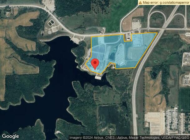
777 Casino Dr
11463
Osc-Misc Sec 13
Hotelormotel
MISC SEC 13A TR IN SW NE; SE NW; & A TR IN NW COR SE NE; & PARCEL C IN SE NW & NE SW
X
Clarke
19039C0191B
Iowa
2024
26
2024
60.24 AC
960300
Iowa West Area
27,744 SF
Other Market Areas
DEMOGRAPHICS near 777 Casino Dr
1 Mile
3 Mile
5 Mile
2024 Total Population
485
5,689
6,277
2029 Population
482
5,647
6,225
Pop Growth 2024-2029
(0.62%)
(0.74%)
(0.83%)
Average Age
41
39
40
2024 Total Households
182
2,255
2,483
HH Growth 2024-2029
(0.55%)
(0.71%)
(0.81%)
Median Household Inc
$20,227
$53,750
$54,711
Avg Household Size
2.50
2.50
2.50
2024 Avg HH Vehicles
2.00
2.00
2.00
Median Home Value
$149,122
$126,526
$134,118
Median Year Built
1977
1973
1973
Nearby Places
Map Layers
Map Styles
 Street
 Aerial
- Restaurants
- Banks
- Shops
- Fitness
- Groceries
PUBLIC TRANSPORTATION
COMMUTER RAIL
Osceola Amtrak Station (California Zephyr - Amtrak)
DRIVE
WALK
Distance
Osceola Amtrak Station (California Zephyr - Amtrak)
7 min
2.2 mi
Freight Ports
Port Milwaukee
DRIVE
WALK
Distance
Port Milwaukee
469 min
421.2 mi
Nearby Properties
Address
Land Use
TOTAL SIZE
Lot Size
Zoning
Address
Land Use
TOTAL SIZE
Lot Size
Zoning
3,100 SF
95.01 AC
Address
Land Use
TOTAL SIZE
Lot Size
Zoning
65,186 SF
5.88 AC
Address
Land Use
TOTAL SIZE
Lot Size
Zoning
99,596 SF
18.13 AC
Address
Land Use
TOTAL SIZE
Lot Size
Zoning
29,900 SF
5.34 AC
Address
Land Use
TOTAL SIZE
Lot Size
Zoning
864 SF
24.73 AC
Address
Land Use
TOTAL SIZE
Lot Size
Zoning
212,800 SF
51.07 AC
Address
Land Use
TOTAL SIZE
Lot Size
Zoning
6,801 SF
1.74 AC
Address
Land Use
TOTAL SIZE
Lot Size
Zoning
35,499 SF
6.17 AC
Address
Land Use
TOTAL SIZE
Lot Size
Zoning
13,316 SF
3 AC
Address
Land Use
TOTAL SIZE
Lot Size
Zoning
15,923 SF
3.33 AC
Address
Land Use
TOTAL SIZE
Lot Size
Zoning
24,278 SF
2.38 AC
Address
Land Use
TOTAL SIZE
Lot Size
Zoning
46,646 SF
12 AC
Address
Land Use
TOTAL SIZE
Lot Size
Zoning
795 SF
4.17 AC
Address
Land Use
TOTAL SIZE
Lot Size
Zoning
88,224 SF
25.93 AC
Address
Land Use
TOTAL SIZE
Lot Size
Zoning
6,966 SF
6.22 AC
Address
Land Use
TOTAL SIZE
Lot Size
Zoning
25,979 SF
Address
Land Use
TOTAL SIZE
Lot Size
Zoning
22,293 SF
1.45 AC
Address
Land Use
TOTAL SIZE
Lot Size
Zoning
4,225 SF
2.07 AC
Address
Land Use
TOTAL SIZE
Lot Size
Zoning
5,760 SF
11.86 AC
Address
Land Use
TOTAL SIZE
Lot Size
Zoning
34,600 SF
11.34 AC
Address
Land Use
TOTAL SIZE
Lot Size
Zoning
10,920 SF
4.57 AC
Address
Land Use
TOTAL SIZE
Lot Size
Zoning
4,348 SF
1.02 AC
Address
Land Use
TOTAL SIZE
Lot Size
Zoning
8,237 SF
4 AC
Address
Land Use
TOTAL SIZE
Lot Size
Zoning
13,882 SF
3.25 AC
Address
Land Use
TOTAL SIZE
Lot Size
Zoning
5,777 SF
1.67 AC
Address
Land Use
TOTAL SIZE
Lot Size
Zoning
23,218 SF
0.71 AC
Address
Land Use
TOTAL SIZE
Lot Size
Zoning
9,707 SF
0.39 AC
Address
Land Use
TOTAL SIZE
Lot Size
Zoning
20,420 SF
1.03 AC
Address
Land Use
TOTAL SIZE
Lot Size
Zoning
2,395 SF
2.72 AC
The World's #1 Commercial Real Estate Marketplace
Connect with us
© 2025 CoStar Group
The information above has been obtained from sources believed reliable. While we do not doubt its accuracy we have not verified it and make no guarantee, warranty or representation about it. It is your responsibility to independently confirm its accuracy and completeness. Any projections, opinions, assumptions, or estimates used are for example only and do not represent the current or future performance of the property. The value of this transaction to you depends on tax and other factors which should be evaluated by your tax, financial, and legal advisors. You and your advisors should conduct a careful, independent investigation of the property to determine to your satisfaction the suitability of the property for your needs.