Property Record
777 Port Ave, Saint Helens, OR 97051


NEARBY LISTINGS FOR SALE OR LEASE
Property Detail
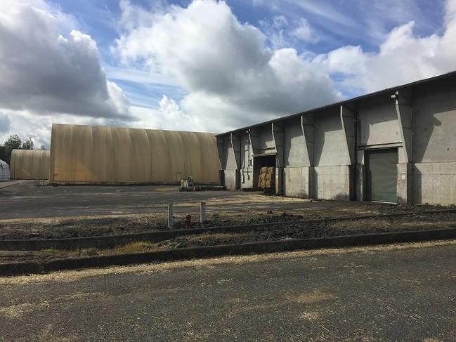
777 Port Ave
Portland-Vancouver-Hillsboro, OR-WA
Partition 2008-01
0201041090200010000
Columbia
Industrialgeneral
Oregon
X
1
53015C0980G
18.15 AC
2025
Columbia County
2025
Portland
970800
DEMOGRAPHICS near 777 Port Ave
1 Mile
3 Mile
5 Mile
2024 Total Population
7,719
19,413
28,748
2029 Population
8,200
20,516
30,360
Pop Growth 2024-2029
+ 6.23%
+ 5.68%
+ 5.61%
Average Age
39
41
41
2024 Total Households
3,020
7,485
10,731
HH Growth 2024-2029
+ 6.26%
+ 5.65%
+ 5.57%
Median Household Inc
$66,145
$76,504
$79,594
Avg Household Size
2.50
2.50
2.60
2024 Avg HH Vehicles
2.00
2.00
2.00
Median Home Value
$291,540
$349,930
$389,663
Median Year Built
1976
1978
1980
Nearby Places
Map Layers
Map Styles
 Street
 Aerial
- Restaurants
- Banks
- Shops
- Fitness
- Groceries
PUBLIC TRANSPORTATION
AIRPORT
Portland International
DRIVE
WALK
Distance
Portland International
65 min
34.0 mi
SALE & LEASE HISTORY
LISTING DATE
SALE/LEASE

Sep 24, 2016
For Sale
Feb 22, 2018
For Sale
Nearby Properties
Address
Land Use
TOTAL SIZE
Lot Size
Zoning
Address
Land Use
TOTAL SIZE
Lot Size
Zoning
7.31 AC
SH:LI
Address
Land Use
TOTAL SIZE
Lot Size
Zoning
92,593 SF
7.72 AC
SH:GC
Address
Land Use
TOTAL SIZE
Lot Size
Zoning
52.02 AC
SH:PL
Address
Land Use
TOTAL SIZE
Lot Size
Zoning
89,327 SF
10.39 AC
SH:GC
Address
Land Use
TOTAL SIZE
Lot Size
Zoning
10 SF
10.57 AC
SH:GC
Address
Land Use
TOTAL SIZE
Lot Size
Zoning
4.71 AC
SH:HI
Address
Land Use
TOTAL SIZE
Lot Size
Zoning
38,596 SF
2.55 AC
SH:HC
Address
Land Use
TOTAL SIZE
Lot Size
Zoning
57,763 SF
2.39 AC
SH:R7
Address
Land Use
TOTAL SIZE
Lot Size
Zoning
19.79 AC
SH:HI
Address
Land Use
TOTAL SIZE
Lot Size
Zoning
36.02 AC
SH:HI
Address
Land Use
TOTAL SIZE
Lot Size
Zoning
39,958 SF
145.24 AC
CO:M-1
Address
Land Use
TOTAL SIZE
Lot Size
Zoning
42,120 SF
2.32 AC
SH:HC
Address
Land Use
TOTAL SIZE
Lot Size
Zoning
63,982 SF
3.66 AC
SH:AR
Address
Land Use
TOTAL SIZE
Lot Size
Zoning
19.79 AC
Address
Land Use
TOTAL SIZE
Lot Size
Zoning
38.35 AC
CO:CS-I
Address
Land Use
TOTAL SIZE
Lot Size
Zoning
20.83 AC
SH:HI
Address
Land Use
TOTAL SIZE
Lot Size
Zoning
16,618 SF
1.57 AC
SH:HC
Address
Land Use
TOTAL SIZE
Lot Size
Zoning
64,035 SF
5.02 AC
CO:M-2
Address
Land Use
TOTAL SIZE
Lot Size
Zoning
14,199 SF
1.52 AC
SH:HC
Address
Land Use
TOTAL SIZE
Lot Size
Zoning
53,915 SF
2.40 AC
SH:HC
Address
Land Use
TOTAL SIZE
Lot Size
Zoning
22,061 SF
1.82 AC
SH:HC
Address
Land Use
TOTAL SIZE
Lot Size
Zoning
57,576 SF
5.04 AC
SH:LI
Address
Land Use
TOTAL SIZE
Lot Size
Zoning
22,764 SF
2.63 AC
SH:GC
Address
Land Use
TOTAL SIZE
Lot Size
Zoning
10,520 SF
0.93 AC
SH:GC
Address
Land Use
TOTAL SIZE
Lot Size
Zoning
23,805 SF
1.59 AC
SH:HC
Address
Land Use
TOTAL SIZE
Lot Size
Zoning
215,435 SF
15.92 AC
SH:GC
Address
Land Use
TOTAL SIZE
Lot Size
Zoning
15,573 SF
2.31 AC
SH:MU
Address
Land Use
TOTAL SIZE
Lot Size
Zoning
20,098 SF
1.37 AC
SH:AR
The World's #1 Commercial Real Estate Marketplace
Connect with us
© 2026 CoStar Group
The information above has been obtained from sources believed reliable. While we do not doubt its accuracy we have not verified it and make no guarantee, warranty or representation about it. It is your responsibility to independently confirm its accuracy and completeness. Any projections, opinions, assumptions, or estimates used are for example only and do not represent the current or future performance of the property. The value of this transaction to you depends on tax and other factors which should be evaluated by your tax, financial, and legal advisors. You and your advisors should conduct a careful, independent investigation of the property to determine to your satisfaction the suitability of the property for your needs.