Property Record
7785 Oakhurst Rd, Seminole, FL 33776
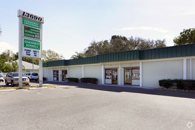

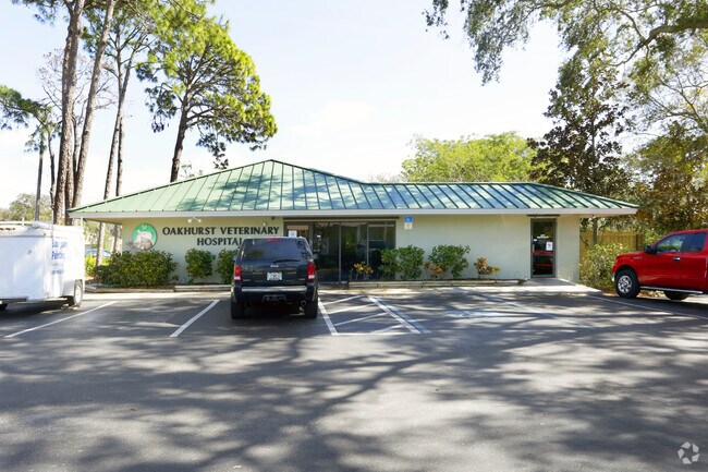
Property Detail
7785 Oakhurst Rd
29-30-15-62640-000-0010
OAKHURST GARDENS LOT 1 LESS RD
Officebuilding
PINELLAS
C2
Florida
B and X Area of moderate flood hazard, usually the area between the limits of the 100-year and 500-year floods.
1
2024
0.72 AC
2025
South Pinellas
025110
Tampa/St Petersburg
8,440 SF
Tampa-St. Petersburg-Clearwater, FL
NEARBY LISTINGS FOR SALE OR LEASE
DEMOGRAPHICS near 7785 Oakhurst Rd
1 mile
3 mile
5 mile
2025 Total Population
9,448
63,795
139,113
2030 Population
9,701
64,886
141,356
Pop Growth 2025-2030
+ 2.68%
+ 1.71%
+ 1.61%
Average Age
50
51
50
2025 Total Households
4,088
29,788
65,569
HH Growth 2025-2030
+ 3.62%
+ 2.02%
+ 1.79%
Median Household Inc
$110,609
$84,916
$77,622
Avg Household Size
2.20
2.10
2.10
2025 Avg HH Vehicles
2.00
2.00
2.00
Median Home Value
$589,338
$445,564
$410,768
Median Year Built
1976
1975
1975
Nearby Places
Map Layers
Map Styles
 Street
 Aerial
Layers
 Traffic
 Biking
Places
Listings with unknown addresses are not visible on the map
- Restaurants
- Banks
- Shops
- Fitness
- Groceries
PUBLIC TRANSPORTATION
AIRPORT
St Pete-Clearwater International
Drive
Walk
Distance
St Pete-Clearwater International
31 min
14.4 mi
Tampa International
Drive
Walk
Distance
Tampa International
42 min
24.6 mi
Sarasota/Bradenton International
Drive
Walk
Distance
Sarasota/Bradenton International
69 min
43.5 mi
Freight Ports
Port of Tampa Bay
Drive
Walk
Distance
Port of Tampa Bay
48 min
29.7 mi
Nearby Properties
Address
Land Use
TOTAL SIZE
Lot Size
Zoning
Address
Land Use
TOTAL SIZE
Lot Size
Zoning
372,952 SF
31.56 AC
Address
Land Use
TOTAL SIZE
Lot Size
Zoning
328,466 SF
18.81 AC
Address
Land Use
TOTAL SIZE
Lot Size
Zoning
223,748 SF
100.32 AC
R3
Address
Land Use
TOTAL SIZE
Lot Size
Zoning
318,185 SF
38.78 AC
C2
Address
Land Use
TOTAL SIZE
Lot Size
Zoning
101,642 SF
1.43 AC
Address
Land Use
TOTAL SIZE
Lot Size
Zoning
267,730 SF
35.84 AC
AE
Address
Land Use
TOTAL SIZE
Lot Size
Zoning
6,098 SF
374.66 AC
AE
Address
Land Use
TOTAL SIZE
Lot Size
Zoning
5,647 SF
187.56 AC
AE
Address
Land Use
TOTAL SIZE
Lot Size
Zoning
236,240 SF
12.38 AC
RPD15
Address
Land Use
TOTAL SIZE
Lot Size
Zoning
222,888 SF
11.83 AC
RPD15
Address
Land Use
TOTAL SIZE
Lot Size
Zoning
385,858 SF
8.83 AC
Address
Land Use
TOTAL SIZE
Lot Size
Zoning
133,440 SF
6.85 AC
RM15
Address
Land Use
TOTAL SIZE
Lot Size
Zoning
440 SF
3.47 AC
Address
Land Use
TOTAL SIZE
Lot Size
Zoning
102,073 SF
9.07 AC
Address
Land Use
TOTAL SIZE
Lot Size
Zoning
160,134 SF
18.61 AC
R2
Address
Land Use
TOTAL SIZE
Lot Size
Zoning
160,616 SF
11.88 AC
Address
Land Use
TOTAL SIZE
Lot Size
Zoning
151,149 SF
8.84 AC
RM15
Address
Land Use
TOTAL SIZE
Lot Size
Zoning
147,755 SF
6.86 AC
Address
Land Use
TOTAL SIZE
Lot Size
Zoning
110,192 SF
4.58 AC
Address
Land Use
TOTAL SIZE
Lot Size
Zoning
36,102 SF
2.32 AC
Address
Land Use
TOTAL SIZE
Lot Size
Zoning
90,234 SF
9.82 AC
R2
Address
Land Use
TOTAL SIZE
Lot Size
Zoning
80,296 SF
19.86 AC
R2
Address
Land Use
TOTAL SIZE
Lot Size
Zoning
62,578 SF
5.45 AC
Address
Land Use
TOTAL SIZE
Lot Size
Zoning
235,268 SF
3.01 AC
Address
Land Use
TOTAL SIZE
Lot Size
Zoning
133,610 SF
12.84 AC
Address
Land Use
TOTAL SIZE
Lot Size
Zoning
65,069 SF
7.64 AC
R3
Address
Land Use
TOTAL SIZE
Lot Size
Zoning
83,103 SF
12.59 AC
AE
Address
Land Use
TOTAL SIZE
Lot Size
Zoning
47,085 SF
13.18 AC
R3
Address
Land Use
TOTAL SIZE
Lot Size
Zoning
56,655 SF
5.98 AC
R3
Address
Land Use
TOTAL SIZE
Lot Size
Zoning
9.55 AC
The World's #1 Commercial Real Estate Marketplace
Connect with us
© 2026 CoStar Group
The information above has been obtained from sources believed reliable. While we do not doubt its accuracy we have not verified it and make no guarantee, warranty or representation about it. It is your responsibility to independently confirm its accuracy and completeness. Any projections, opinions, assumptions, or estimates used are for example only and do not represent the current or future performance of the property. The value of this transaction to you depends on tax and other factors which should be evaluated by your tax, financial, and legal advisors. You and your advisors should conduct a careful, independent investigation of the property to determine to your satisfaction the suitability of the property for your needs.