Property Record
78 Highway 78, Monroe, GA 30655


NEARBY LISTINGS FOR SALE OR LEASE
-
-
View all Monroe listings for sale on LoopNet.com
Property Detail
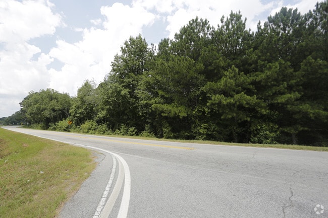
78 Highway 78
Atlanta-Sandy Springs-Roswell, GA
09094-Hwy 78 Major
C062000000158000
28.01AC
Commercialacreage
Walton
X
Georgia
13297C0125E
28.01 AC
2024
Walton County
2025
Atlanta
110702
DEMOGRAPHICS near 78 Highway 78
1 Mile
3 Mile
5 Mile
2024 Total Population
1,864
12,169
37,444
2029 Population
2,146
14,011
43,129
Pop Growth 2024-2029
+ 15.13%
+ 15.14%
+ 15.18%
Average Age
41
41
41
2024 Total Households
641
4,150
12,984
HH Growth 2024-2029
+ 15.44%
+ 15.49%
+ 15.52%
Median Household Inc
$85,904
$84,828
$74,418
Avg Household Size
2.90
2.90
2.80
2024 Avg HH Vehicles
2.00
3.00
2.00
Median Home Value
$296,790
$296,645
$281,007
Median Year Built
2002
1999
1996
Nearby Places
Map Layers
Map Styles
 Street
 Aerial
- Restaurants
- Banks
- Shops
- Fitness
- Groceries
SALE & LEASE HISTORY
LISTING DATE
SALE/LEASE

Sep 24, 2016
For Sale
Jul 27, 2017
For Sale
Nearby Properties
Address
Land Use
TOTAL SIZE
Lot Size
Zoning
Address
Land Use
TOTAL SIZE
Lot Size
Zoning
117,471 SF
65.68 AC
B3
Address
Land Use
TOTAL SIZE
Lot Size
Zoning
96,129 SF
32.74 AC
A1
Address
Land Use
TOTAL SIZE
Lot Size
Zoning
199.96 AC
R1
Address
Land Use
TOTAL SIZE
Lot Size
Zoning
4,950 SF
6.96 AC
M1
Address
Land Use
TOTAL SIZE
Lot Size
Zoning
8,640 SF
53 AC
A1
Address
Land Use
TOTAL SIZE
Lot Size
Zoning
4,800 SF
7.06 AC
B2
Address
Land Use
TOTAL SIZE
Lot Size
Zoning
12,800 SF
7.36 AC
B3
Address
Land Use
TOTAL SIZE
Lot Size
Zoning
25,300 SF
5.34 AC
B2
Address
Land Use
TOTAL SIZE
Lot Size
Zoning
25,340 SF
7.59 AC
B1
Address
Land Use
TOTAL SIZE
Lot Size
Zoning
12,000 SF
3 AC
B2
Address
Land Use
TOTAL SIZE
Lot Size
Zoning
6,300 SF
1.64 AC
B2
Address
Land Use
TOTAL SIZE
Lot Size
Zoning
336.93 AC
A1 WP2
Address
Land Use
TOTAL SIZE
Lot Size
Zoning
188.42 AC
B2 R1
Address
Land Use
TOTAL SIZE
Lot Size
Zoning
4,336 SF
3.76 AC
M1
Address
Land Use
TOTAL SIZE
Lot Size
Zoning
10,903 SF
9.92 AC
A1
Address
Land Use
TOTAL SIZE
Lot Size
Zoning
5,000 SF
5.83 AC
B2
Address
Land Use
TOTAL SIZE
Lot Size
Zoning
4,891 SF
189.99 AC
A1
Address
Land Use
TOTAL SIZE
Lot Size
Zoning
175.91 AC
A1
Address
Land Use
TOTAL SIZE
Lot Size
Zoning
8,160 SF
4.52 AC
B2
Address
Land Use
TOTAL SIZE
Lot Size
Zoning
18,180 SF
10 AC
A1
Address
Land Use
TOTAL SIZE
Lot Size
Zoning
2,750 SF
4.98 AC
M2
Address
Land Use
TOTAL SIZE
Lot Size
Zoning
1,168 SF
2.36 AC
B2
Address
Land Use
TOTAL SIZE
Lot Size
Zoning
160.43 AC
R1
Address
Land Use
TOTAL SIZE
Lot Size
Zoning
21,500 SF
2 AC
M1
Address
Land Use
TOTAL SIZE
Lot Size
Zoning
13,500 SF
2.99 AC
I1
Address
Land Use
TOTAL SIZE
Lot Size
Zoning
9,000 SF
3.69 AC
B3
Address
Land Use
TOTAL SIZE
Lot Size
Zoning
7,967 SF
1.29 AC
A1 WP2
Address
Land Use
TOTAL SIZE
Lot Size
Zoning
9,000 SF
1.99 AC
B2
Address
Land Use
TOTAL SIZE
Lot Size
Zoning
6,000 SF
2.81 AC
B2
The World's #1 Commercial Real Estate Marketplace
Connect with us
© 2026 CoStar Group
The information above has been obtained from sources believed reliable. While we do not doubt its accuracy we have not verified it and make no guarantee, warranty or representation about it. It is your responsibility to independently confirm its accuracy and completeness. Any projections, opinions, assumptions, or estimates used are for example only and do not represent the current or future performance of the property. The value of this transaction to you depends on tax and other factors which should be evaluated by your tax, financial, and legal advisors. You and your advisors should conduct a careful, independent investigation of the property to determine to your satisfaction the suitability of the property for your needs.