Property Record
7814 Garner Dr, Manassas, VA 20109


Property Detail
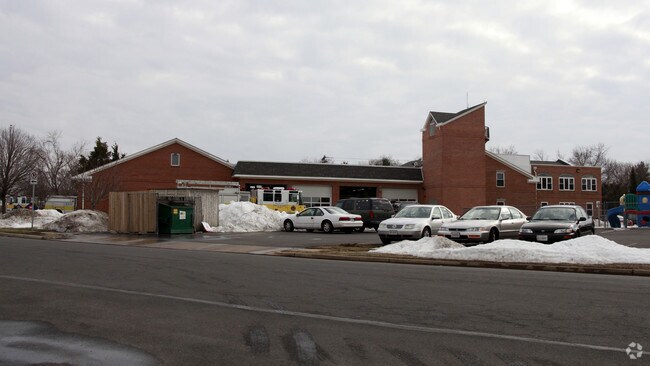
7814 Garner Dr
7697-51-6507
GMMC
Policefirecivildefense
Prince William
RPC
Virginia
B and X Area of moderate flood hazard, usually the area between the limits of the 100-year and 500-year floods.
6507
0
1.50 AC
2025
Route 29/I-66 Corridor
901601
Washington, DC
18,790 SF
Washington-Arlington-Alexandria, DC-VA-MD-WV
NEARBY LISTINGS FOR SALE OR LEASE
DEMOGRAPHICS near 7814 Garner Dr
1 mile
3 mile
5 mile
2025 Total Population
23,559
79,801
196,601
2030 Population
24,199
81,518
200,370
Pop Growth 2025-2030
+ 2.72%
+ 2.15%
+ 1.92%
Average Age
35
35
37
2025 Total Households
7,478
24,891
62,412
HH Growth 2025-2030
+ 2.71%
+ 2.27%
+ 1.91%
Median Household Inc
$88,462
$100,282
$120,670
Avg Household Size
3.10
3.10
3.10
2025 Avg HH Vehicles
2.00
2.00
2.00
Median Home Value
$418,908
$428,623
$492,358
Median Year Built
1982
1983
1990
Nearby Places
Map Layers
Map Styles
 Street
 Aerial
Transit
 Traffic
 Biking
Places
Listings with unknown addresses are not visible on the map
- Restaurants
- Banks
- Shops
- Fitness
- Groceries
PUBLIC TRANSPORTATION
COMMUTER RAIL
Manassas Amtrak Station (Cardinal - Amtrak, Crescent - Amtrak, Manassas Line - Amtrak, Northeast Regional - Amtrak)
Drive
Walk
Distance
Manassas Amtrak Station (Cardinal - Amtrak, Crescent - Amtrak, Manassas Line - Amtrak, Northeast Regional - Amtrak)
9 min
4.0 mi
Lead (Manassas Line - Virginia Railway Express)
Drive
Walk
Distance
Lead (Manassas Line - Virginia Railway Express)
12 min
5.7 mi
AIRPORT
Washington Dulles International
Drive
Walk
Distance
Washington Dulles International
31 min
18.4 mi
Ronald Reagan Washington Ntl
Drive
Walk
Distance
Ronald Reagan Washington Ntl
45 min
33.0 mi
Freight Ports
Port of Baltimore
Drive
Walk
Distance
Port of Baltimore
90 min
68.8 mi
Nearby Properties
Address
Land Use
TOTAL SIZE
Lot Size
Zoning
Address
Land Use
TOTAL SIZE
Lot Size
Zoning
389,649 SF
11.82 AC
M2
Address
Land Use
TOTAL SIZE
Lot Size
Zoning
233,757 SF
15.54 AC
PBD
Address
Land Use
TOTAL SIZE
Lot Size
Zoning
223,757 SF
15.92 AC
PBD
Address
Land Use
TOTAL SIZE
Lot Size
Zoning
216,067 SF
15.85 AC
PBD
Address
Land Use
TOTAL SIZE
Lot Size
Zoning
213,320 SF
31.06 AC
PBD
Address
Land Use
TOTAL SIZE
Lot Size
Zoning
305,510 SF
22.72 AC
M2
Address
Land Use
TOTAL SIZE
Lot Size
Zoning
269,091 SF
32.31 AC
M2
Address
Land Use
TOTAL SIZE
Lot Size
Zoning
325,918 SF
41.38 AC
M2
Address
Land Use
TOTAL SIZE
Lot Size
Zoning
230,706 SF
13.94 AC
PMD
Address
Land Use
TOTAL SIZE
Lot Size
Zoning
719,742 SF
62.13 AC
M2
Address
Land Use
TOTAL SIZE
Lot Size
Zoning
656,797 SF
Address
Land Use
TOTAL SIZE
Lot Size
Zoning
115,600 SF
10.06 AC
M1
Address
Land Use
TOTAL SIZE
Lot Size
Zoning
123,534 SF
7.85 AC
M1
Address
Land Use
TOTAL SIZE
Lot Size
Zoning
824,085 SF
120.07 AC
MIXED
Address
Land Use
TOTAL SIZE
Lot Size
Zoning
127,000 SF
12.40 AC
M2
Address
Land Use
TOTAL SIZE
Lot Size
Zoning
127,700 SF
7.92 AC
M1
Address
Land Use
TOTAL SIZE
Lot Size
Zoning
409,252 SF
18.75 AC
M2
Address
Land Use
TOTAL SIZE
Lot Size
Zoning
165,230 SF
12 AC
M2
Address
Land Use
TOTAL SIZE
Lot Size
Zoning
136,228 SF
9.19 AC
M2
Address
Land Use
TOTAL SIZE
Lot Size
Zoning
270,540 SF
13.65 AC
PBD
Address
Land Use
TOTAL SIZE
Lot Size
Zoning
311,198 SF
23.50 AC
M2
Address
Land Use
TOTAL SIZE
Lot Size
Zoning
40.47 AC
PBD
Address
Land Use
TOTAL SIZE
Lot Size
Zoning
402,166 SF
16.72 AC
M2
Address
Land Use
TOTAL SIZE
Lot Size
Zoning
352,401 SF
91.60 AC
M2
Address
Land Use
TOTAL SIZE
Lot Size
Zoning
395,617 SF
19.08 AC
PMD
Address
Land Use
TOTAL SIZE
Lot Size
Zoning
51.84 AC
MIXED
Address
Land Use
TOTAL SIZE
Lot Size
Zoning
75,816 SF
29.15 AC
R16
Address
Land Use
TOTAL SIZE
Lot Size
Zoning
402,295 SF
8.50 AC
A1
Address
Land Use
TOTAL SIZE
Lot Size
Zoning
29,500 SF
21.97 AC
M1
Address
Land Use
TOTAL SIZE
Lot Size
Zoning
203,544 SF
20.90 AC
GENERAL CO
The World's #1 Commercial Real Estate Marketplace
Connect with us
© 2026 CoStar Group
The information above has been obtained from sources believed reliable. While we do not doubt its accuracy we have not verified it and make no guarantee, warranty or representation about it. It is your responsibility to independently confirm its accuracy and completeness. Any projections, opinions, assumptions, or estimates used are for example only and do not represent the current or future performance of the property. The value of this transaction to you depends on tax and other factors which should be evaluated by your tax, financial, and legal advisors. You and your advisors should conduct a careful, independent investigation of the property to determine to your satisfaction the suitability of the property for your needs.