Property Record
7852 E Pecos Rd, Mesa, AZ 85212
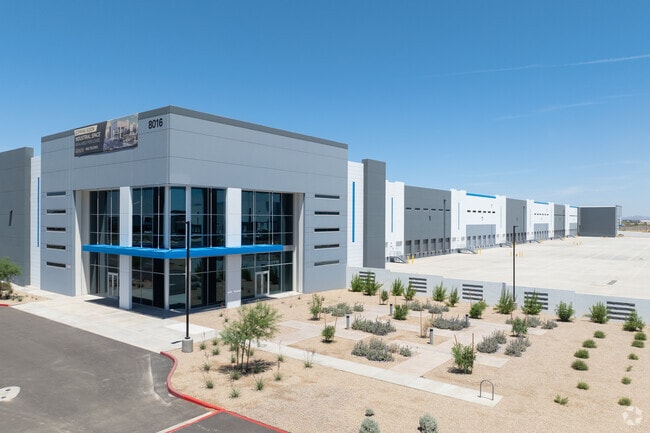

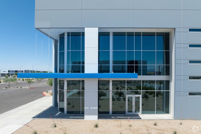
Property Detail
7852 E Pecos Rd
Phoenix-Mesa-Chandler, AZ
LAND SPLIT MCR 1742-37
304-61-006H
MARICOPA
Warehouse
Arizona
2025
69.72 AC
2025
Chandler N/Gilbert
817600
Phoenix
1,069,038 SF
NEARBY LISTINGS FOR SALE OR LEASE
DEMOGRAPHICS near 7852 E Pecos Rd
1 mile
3 mile
5 mile
2025 Total Population
640
57,112
192,391
2030 Population
669
60,537
204,047
Pop Growth 2025-2030
+ 4.53%
+ 6.00%
+ 6.06%
Average Age
34
36
36
2025 Total Households
178
17,638
58,986
HH Growth 2025-2030
+ 5.06%
+ 6.15%
+ 6.08%
Median Household Inc
$153,977
$130,618
$134,037
Avg Household Size
3.60
3.20
3.20
2025 Avg HH Vehicles
2.00
2.00
2.00
Median Home Value
$681,818
$651,444
$658,059
Median Year Built
2010
2008
2009
Nearby Places
Map Layers
Map Styles
 Street
 Aerial
Transit
 Traffic
 Biking
Places
Listings with unknown addresses are not visible on the map
- Restaurants
- Banks
- Shops
- Fitness
- Groceries
PUBLIC TRANSPORTATION
AIRPORT
Phoenix-Mesa Gateway
Drive
Walk
Distance
Phoenix-Mesa Gateway
3 min
1.9 mi
Phoenix Sky Harbor International
Drive
Walk
Distance
Phoenix Sky Harbor International
42 min
30.8 mi
Freight Ports
Port of San Diego
Drive
Walk
Distance
Port of San Diego
414 min
375.1 mi
SALE & LEASE HISTORY
LISTING DATE
SALE/LEASE

Jul 30, 2025
For Sale
Jan 25, 2022
For Lease
Nearby Properties
Address
Land Use
TOTAL SIZE
Lot Size
Zoning
Address
Land Use
TOTAL SIZE
Lot Size
Zoning
284.14 AC
Address
Land Use
TOTAL SIZE
Lot Size
Zoning
93,214 SF
10.60 AC
PF
Address
Land Use
TOTAL SIZE
Lot Size
Zoning
64.72 AC
LI
Address
Land Use
TOTAL SIZE
Lot Size
Zoning
481,756 SF
285.61 AC
Address
Land Use
TOTAL SIZE
Lot Size
Zoning
1,200,340 SF
85.82 AC
Address
Land Use
TOTAL SIZE
Lot Size
Zoning
1,358,386 SF
611.30 AC
LI
Address
Land Use
TOTAL SIZE
Lot Size
Zoning
862,568 SF
420.15 AC
PS
Address
Land Use
TOTAL SIZE
Lot Size
Zoning
604,432 SF
56.74 AC
PF
Address
Land Use
TOTAL SIZE
Lot Size
Zoning
298,703 SF
57.08 AC
PF
Address
Land Use
TOTAL SIZE
Lot Size
Zoning
477,934 SF
24.18 AC
MU
Address
Land Use
TOTAL SIZE
Lot Size
Zoning
615,202 SF
35.88 AC
AG
Address
Land Use
TOTAL SIZE
Lot Size
Zoning
524,905 SF
40.33 AC
Address
Land Use
TOTAL SIZE
Lot Size
Zoning
245,425 SF
205.62 AC
I-1
Address
Land Use
TOTAL SIZE
Lot Size
Zoning
225,990 SF
26.23 AC
I-1
Address
Land Use
TOTAL SIZE
Lot Size
Zoning
254,314 SF
23.55 AC
R-43
Address
Land Use
TOTAL SIZE
Lot Size
Zoning
21,010 SF
2.72 AC
I-1
Address
Land Use
TOTAL SIZE
Lot Size
Zoning
396,754 SF
46.84 AC
PF
Address
Land Use
TOTAL SIZE
Lot Size
Zoning
583,955 SF
34.92 AC
LI
Address
Land Use
TOTAL SIZE
Lot Size
Zoning
308,343 SF
13.90 AC
MFM
Address
Land Use
TOTAL SIZE
Lot Size
Zoning
266,467 SF
47.47 AC
PF
Address
Land Use
TOTAL SIZE
Lot Size
Zoning
139,348 SF
16.39 AC
R-12
Address
Land Use
TOTAL SIZE
Lot Size
Zoning
283,393 SF
6 AC
GVC
Address
Land Use
TOTAL SIZE
Lot Size
Zoning
614,544 SF
35.40 AC
Address
Land Use
TOTAL SIZE
Lot Size
Zoning
269,550 SF
63.63 AC
Address
Land Use
TOTAL SIZE
Lot Size
Zoning
288,322 SF
11.98 AC
MFM
Address
Land Use
TOTAL SIZE
Lot Size
Zoning
50,726 SF
633.66 AC
I-1
Address
Land Use
TOTAL SIZE
Lot Size
Zoning
112,957 SF
20 AC
PF/I
Address
Land Use
TOTAL SIZE
Lot Size
Zoning
229,934 SF
15.55 AC
I-1
Address
Land Use
TOTAL SIZE
Lot Size
Zoning
420,631 SF
23.19 AC
The World's #1 Commercial Real Estate Marketplace
Connect with us
© 2026 CoStar Group
The information above has been obtained from sources believed reliable. While we do not doubt its accuracy we have not verified it and make no guarantee, warranty or representation about it. It is your responsibility to independently confirm its accuracy and completeness. Any projections, opinions, assumptions, or estimates used are for example only and do not represent the current or future performance of the property. The value of this transaction to you depends on tax and other factors which should be evaluated by your tax, financial, and legal advisors. You and your advisors should conduct a careful, independent investigation of the property to determine to your satisfaction the suitability of the property for your needs.