Property Record
79 Cross St, Methuen, MA 01844


Save to a Folder
{{folder.Name}}
{{folder.ListingIds.length}} Properties
{{folder.ListingIds.length}} Property
Create a New Folder
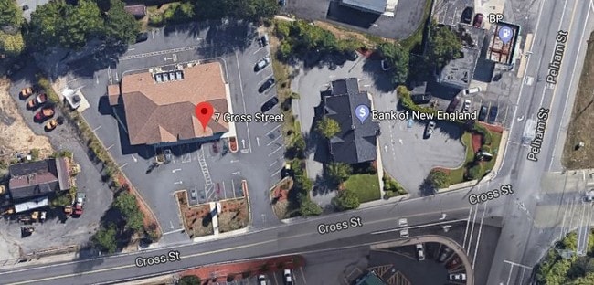
Property Detail
79 Cross St
METH-000512-000124-000025
Essex
Storebuilding
Massachusetts
BH
25
B and X Area of moderate flood hazard, usually the area between the limits of the 100-year and 500-year floods.
0.91 AC
2025
Lawrence/Andover
2025
Boston
252300
Boston-Cambridge-Newton, MA-NH
5,613 SF
NEARBY LISTINGS FOR SALE OR LEASE
DEMOGRAPHICS near 79 Cross St
1 mile
3 mile
5 mile
2025 Total Population
7,229
93,797
188,918
2030 Population
7,326
94,094
191,240
Pop Growth 2025-2030
+ 1.34%
+ 0.32%
+ 1.23%
Average Age
41
39
40
2025 Total Households
2,796
32,346
67,046
HH Growth 2025-2030
+ 1.11%
+ 0.44%
+ 1.39%
Median Household Inc
$84,579
$73,549
$83,571
Avg Household Size
2.50
2.80
2.70
2025 Avg HH Vehicles
2.00
2.00
2.00
Median Home Value
$482,838
$481,872
$505,665
Median Year Built
1961
1959
1965
Nearby Places
Map Layers
Map Styles
 Street
 Aerial
Layers
 Traffic
 Biking
Places
Listings with unknown addresses are not visible on the map
- Restaurants
- Banks
- Shops
- Fitness
- Groceries
PUBLIC TRANSPORTATION
COMMUTER RAIL
Lawrence (Haverhill Line - MBTA)
Drive
Walk
Distance
Lawrence (Haverhill Line - MBTA)
9 min
4.8 mi
Andover (Haverhill Line - MBTA)
Drive
Walk
Distance
Andover (Haverhill Line - MBTA)
14 min
7.2 mi
AIRPORT
Manchester Boston Regional
Drive
Walk
Distance
Manchester Boston Regional
38 min
24.1 mi
General Edward Lawrence Logan International
Drive
Walk
Distance
General Edward Lawrence Logan International
41 min
30.9 mi
Freight Ports
Port of Boston
Drive
Walk
Distance
Port of Boston
42 min
30.6 mi
SALE & LEASE HISTORY
LISTING DATE
SALE/LEASE

Oct 22, 2020
For Lease
Jan 07, 2019
For Lease
Nearby Properties
Address
Land Use
TOTAL SIZE
Lot Size
Zoning
Address
Land Use
TOTAL SIZE
Lot Size
Zoning
555,715 SF
32.40 AC
CIC
Address
Land Use
TOTAL SIZE
Lot Size
Zoning
61.83 AC
ID2
Address
Land Use
TOTAL SIZE
Lot Size
Zoning
395,328 SF
49.52 AC
CN
Address
Land Use
TOTAL SIZE
Lot Size
Zoning
347,539 SF
45.99 AC
BH
Address
Land Use
TOTAL SIZE
Lot Size
Zoning
306,500 SF
8.31 AC
CIC
Address
Land Use
TOTAL SIZE
Lot Size
Zoning
8.37 AC
CIC
Address
Land Use
TOTAL SIZE
Lot Size
Zoning
273,035 SF
7.70 AC
CIC
Address
Land Use
TOTAL SIZE
Lot Size
Zoning
255,000 SF
1.64 AC
CIC
Address
Land Use
TOTAL SIZE
Lot Size
Zoning
38.50 AC
CIC
Address
Land Use
TOTAL SIZE
Lot Size
Zoning
23.55 AC
CIC
Address
Land Use
TOTAL SIZE
Lot Size
Zoning
472,045 SF
72.30 AC
HD
Address
Land Use
TOTAL SIZE
Lot Size
Zoning
184,307 SF
7.87 AC
BH
Address
Land Use
TOTAL SIZE
Lot Size
Zoning
137,886 SF
26.65 AC
CIC
Address
Land Use
TOTAL SIZE
Lot Size
Zoning
210,192 SF
15.06 AC
CN
Address
Land Use
TOTAL SIZE
Lot Size
Zoning
172,396 SF
34.80 AC
CN
Address
Land Use
TOTAL SIZE
Lot Size
Zoning
168,870 SF
4.35 AC
CIC
Address
Land Use
TOTAL SIZE
Lot Size
Zoning
20.17 AC
CIC
Address
Land Use
TOTAL SIZE
Lot Size
Zoning
185,046 SF
3.06 AC
Address
Land Use
TOTAL SIZE
Lot Size
Zoning
150,292 SF
22.77 AC
ID2
Address
Land Use
TOTAL SIZE
Lot Size
Zoning
105,949 SF
28.24 AC
ID2
Address
Land Use
TOTAL SIZE
Lot Size
Zoning
205,043 SF
24.10 AC
CIC
Address
Land Use
TOTAL SIZE
Lot Size
Zoning
2.52 AC
Address
Land Use
TOTAL SIZE
Lot Size
Zoning
297,592 SF
2.90 AC
CIC
Address
Land Use
TOTAL SIZE
Lot Size
Zoning
234,000 SF
17.55 AC
IL
Address
Land Use
TOTAL SIZE
Lot Size
Zoning
912 SF
8.63 AC
RR
Address
Land Use
TOTAL SIZE
Lot Size
Zoning
181,956 SF
19.79 AC
CIC
Address
Land Use
TOTAL SIZE
Lot Size
Zoning
185,496 SF
11.99 AC
CIC
Address
Land Use
TOTAL SIZE
Lot Size
Zoning
9.10 AC
MB
Address
Land Use
TOTAL SIZE
Lot Size
Zoning
2.15 AC
Address
Land Use
TOTAL SIZE
Lot Size
Zoning
75,000 SF
1.50 AC
CIC
The World's #1 Commercial Real Estate Marketplace
Connect with us
© 2026 CoStar Group
The information above has been obtained from sources believed reliable. While we do not doubt its accuracy we have not verified it and make no guarantee, warranty or representation about it. It is your responsibility to independently confirm its accuracy and completeness. Any projections, opinions, assumptions, or estimates used are for example only and do not represent the current or future performance of the property. The value of this transaction to you depends on tax and other factors which should be evaluated by your tax, financial, and legal advisors. You and your advisors should conduct a careful, independent investigation of the property to determine to your satisfaction the suitability of the property for your needs.