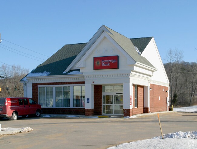
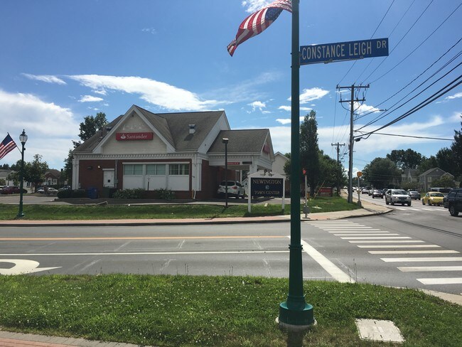
Property Record
63 E Cedar St, Newington, CT 06111

Property Detail
63 E Cedar St
NEWI-000011-000340
HARTFORD
Commercialnec
Connecticut
B-TC
0.85 AC
B and X Area of moderate flood hazard, usually the area between the limits of the 100-year and 500-year floods.
Newington
2024
Hartford
2025
Hartford-West Hartford-East Hartford, CT
494400
NEARBY LISTINGS FOR SALE OR LEASE
DEMOGRAPHICS near 63 E Cedar St
1 mile
3 mile
5 mile
2025 Total Population
7,440
84,012
265,755
2030 Population
7,522
85,098
269,415
Pop Growth 2025-2030
+ 1.10%
+ 1.29%
+ 1.38%
Average Age
44
42
40
2025 Total Households
3,143
33,292
107,964
HH Growth 2025-2030
+ 1.15%
+ 1.31%
+ 1.48%
Median Household Inc
$98,576
$95,079
$73,379
Avg Household Size
2.30
2.40
2.30
2025 Avg HH Vehicles
2.00
2.00
2.00
Median Home Value
$290,926
$291,624
$300,551
Median Year Built
1956
1960
1957
Nearby Places
Map Layers
Map Styles
 Street
 Aerial
Transit
 Traffic
 Biking
Places
Listings with unknown addresses are not visible on the map
- Restaurants
- Banks
- Shops
- Fitness
- Groceries
PUBLIC TRANSPORTATION
COMMUTER RAIL
Berlin (Hartford Line - CONN DOT)
Drive
Walk
Distance
Berlin (Hartford Line - CONN DOT)
12 min
7.0 mi
Berlin Amtrak (Amtrak Hartford Line - Amtrak, Northeast Regional - Amtrak, Valley Flyer - Amtrak)
Drive
Walk
Distance
Berlin Amtrak (Amtrak Hartford Line - Amtrak, Northeast Regional - Amtrak, Valley Flyer - Amtrak)
12 min
7.0 mi
AIRPORT
Bradley International
Drive
Walk
Distance
Bradley International
41 min
23.9 mi
Freight Ports
Port of New Haven
Drive
Walk
Distance
Port of New Haven
45 min
32.6 mi
SALE & LEASE HISTORY
LISTING DATE
SALE/LEASE

Jul 06, 2019
For Lease
Feb 20, 2023
For Lease
Nearby Properties
Address
Land Use
TOTAL SIZE
Lot Size
Zoning
Address
Land Use
TOTAL SIZE
Lot Size
Zoning
284,432 SF
32.12 AC
PL
Address
Land Use
TOTAL SIZE
Lot Size
Zoning
261,072 SF
44.47 AC
PL
Address
Land Use
TOTAL SIZE
Lot Size
Zoning
54.95 AC
PDR
Address
Land Use
TOTAL SIZE
Lot Size
Zoning
20.61 AC
R-10,S
Address
Land Use
TOTAL SIZE
Lot Size
Zoning
23.62 AC
A3
Address
Land Use
TOTAL SIZE
Lot Size
Zoning
254,786 SF
36 AC
A
Address
Land Use
TOTAL SIZE
Lot Size
Zoning
223,885 SF
43.33 AC
CAMP
Address
Land Use
TOTAL SIZE
Lot Size
Zoning
3,416 SF
19.31 AC
SRD
Address
Land Use
TOTAL SIZE
Lot Size
Zoning
13.34 AC
PD
Address
Land Use
TOTAL SIZE
Lot Size
Zoning
78,109 SF
8.22 AC
T
Address
Land Use
TOTAL SIZE
Lot Size
Zoning
16.94 AC
C1
Address
Land Use
TOTAL SIZE
Lot Size
Zoning
126.75 AC
OS
Address
Land Use
TOTAL SIZE
Lot Size
Zoning
171,729 SF
80.59 AC
R-12/
Address
Land Use
TOTAL SIZE
Lot Size
Zoning
14,364 SF
2.72 AC
S3
Address
Land Use
TOTAL SIZE
Lot Size
Zoning
13.13 AC
SDD/BG
Address
Land Use
TOTAL SIZE
Lot Size
Zoning
111,532 SF
12.50 AC
R-12
Address
Land Use
TOTAL SIZE
Lot Size
Zoning
68 AC
R-20
Address
Land Use
TOTAL SIZE
Lot Size
Zoning
68,967 SF
11.25 AC
O
Address
Land Use
TOTAL SIZE
Lot Size
Zoning
18.40 AC
PD
Address
Land Use
TOTAL SIZE
Lot Size
Zoning
16.29 AC
PD
Address
Land Use
TOTAL SIZE
Lot Size
Zoning
3,380 SF
20.36 AC
A1
Address
Land Use
TOTAL SIZE
Lot Size
Zoning
53.52 AC
PL
Address
Land Use
TOTAL SIZE
Lot Size
Zoning
622,262 SF
47.95 AC
I
Address
Land Use
TOTAL SIZE
Lot Size
Zoning
186,777 SF
21.25 AC
RC
Address
Land Use
TOTAL SIZE
Lot Size
Zoning
8.51 AC
S2
Address
Land Use
TOTAL SIZE
Lot Size
Zoning
155,962 SF
15.35 AC
B2
Address
Land Use
TOTAL SIZE
Lot Size
Zoning
75,478 SF
14.40 AC
A1
Address
Land Use
TOTAL SIZE
Lot Size
Zoning
10.76 AC
PD
Address
Land Use
TOTAL SIZE
Lot Size
Zoning
97.02 AC
A1
Address
Land Use
TOTAL SIZE
Lot Size
Zoning
57,862 SF
23.20 AC
AA
The World's #1 Commercial Real Estate Marketplace
Connect with us
© 2026 CoStar Group
The information above has been obtained from sources believed reliable. While we do not doubt its accuracy we have not verified it and make no guarantee, warranty or representation about it. It is your responsibility to independently confirm its accuracy and completeness. Any projections, opinions, assumptions, or estimates used are for example only and do not represent the current or future performance of the property. The value of this transaction to you depends on tax and other factors which should be evaluated by your tax, financial, and legal advisors. You and your advisors should conduct a careful, independent investigation of the property to determine to your satisfaction the suitability of the property for your needs.