Property Record
79 Interstate 79, Mount Clare, WV 26408

Save to a Folder
{{folder.Name}}
{{folder.ListingIds.length}} Properties
{{folder.ListingIds.length}} Property
Create a New Folder
Property Detail
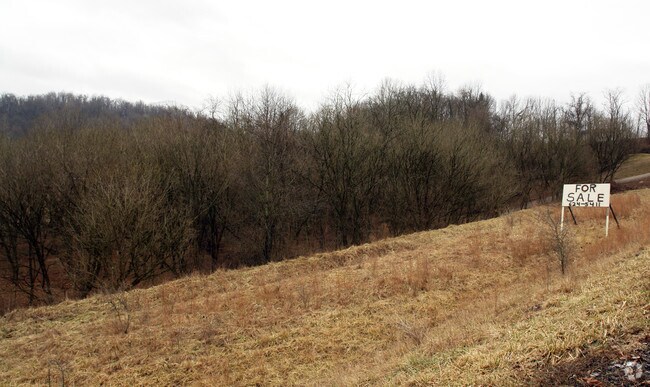
79 Interstate 79
Clarksburg, WV
4.17 AC BRUSHY FORK
11-368-00110000
HARRISON
Storebuilding
West Virginia
B and X Area of moderate flood hazard, usually the area between the limits of the 100-year and 500-year floods.
4.17 AC
2025
West Virginia North Area
2025
Other Market Areas
031200
NEARBY LISTINGS FOR SALE OR LEASE
DEMOGRAPHICS near 79 Interstate 79
1 mile
3 mile
5 mile
2025 Total Population
531
8,146
32,293
2030 Population
523
8,064
32,022
Pop Growth 2025-2030
(1.51%)
(1.01%)
(0.84%)
Average Age
44
44
42
2025 Total Households
215
3,367
13,647
HH Growth 2025-2030
(1.40%)
(1.01%)
(0.87%)
Median Household Inc
$59,772
$57,111
$54,906
Avg Household Size
2.40
2.30
2.30
2025 Avg HH Vehicles
2.00
2.00
2.00
Median Home Value
$194,117
$157,962
$176,200
Median Year Built
1970
1958
1957
Nearby Places
Map Layers
Map Styles
 Street
 Aerial
Layers
 Traffic
 Biking
Places
Listings with unknown addresses are not visible on the map
- Restaurants
- Banks
- Shops
- Fitness
- Groceries
PUBLIC TRANSPORTATION
AIRPORT
North Central West Virginia
Drive
Walk
Distance
North Central West Virginia
14 min
8.3 mi
Freight Ports
Port of Baltimore
Drive
Walk
Distance
Port of Baltimore
277 min
247.9 mi
Nearby Properties
Address
Land Use
TOTAL SIZE
Lot Size
Zoning
Address
Land Use
TOTAL SIZE
Lot Size
Zoning
16.70 AC
Address
Land Use
TOTAL SIZE
Lot Size
Zoning
104.72 AC
Address
Land Use
TOTAL SIZE
Lot Size
Zoning
Address
Land Use
TOTAL SIZE
Lot Size
Zoning
20.34 AC
Address
Land Use
TOTAL SIZE
Lot Size
Zoning
9.45 AC
Address
Land Use
TOTAL SIZE
Lot Size
Zoning
2.18 AC
Address
Land Use
TOTAL SIZE
Lot Size
Zoning
10.15 AC
Address
Land Use
TOTAL SIZE
Lot Size
Zoning
12.78 AC
Address
Land Use
TOTAL SIZE
Lot Size
Zoning
5.53 AC
Address
Land Use
TOTAL SIZE
Lot Size
Zoning
5.50 AC
Address
Land Use
TOTAL SIZE
Lot Size
Zoning
3.68 AC
Address
Land Use
TOTAL SIZE
Lot Size
Zoning
4.24 AC
Address
Land Use
TOTAL SIZE
Lot Size
Zoning
1.82 AC
Address
Land Use
TOTAL SIZE
Lot Size
Zoning
2.41 AC
Address
Land Use
TOTAL SIZE
Lot Size
Zoning
Address
Land Use
TOTAL SIZE
Lot Size
Zoning
3.60 AC
Address
Land Use
TOTAL SIZE
Lot Size
Zoning
38.66 AC
Address
Land Use
TOTAL SIZE
Lot Size
Zoning
2.57 AC
Address
Land Use
TOTAL SIZE
Lot Size
Zoning
6.88 AC
Address
Land Use
TOTAL SIZE
Lot Size
Zoning
0.73 AC
Address
Land Use
TOTAL SIZE
Lot Size
Zoning
4.13 AC
Address
Land Use
TOTAL SIZE
Lot Size
Zoning
Address
Land Use
TOTAL SIZE
Lot Size
Zoning
1.61 AC
Address
Land Use
TOTAL SIZE
Lot Size
Zoning
2.08 AC
Address
Land Use
TOTAL SIZE
Lot Size
Zoning
6.79 AC
Address
Land Use
TOTAL SIZE
Lot Size
Zoning
8.19 AC
Address
Land Use
TOTAL SIZE
Lot Size
Zoning
Address
Land Use
TOTAL SIZE
Lot Size
Zoning
245.15 AC
Address
Land Use
TOTAL SIZE
Lot Size
Zoning
2.79 AC
The World's #1 Commercial Real Estate Marketplace
Connect with us
© 2026 CoStar Group
The information above has been obtained from sources believed reliable. While we do not doubt its accuracy we have not verified it and make no guarantee, warranty or representation about it. It is your responsibility to independently confirm its accuracy and completeness. Any projections, opinions, assumptions, or estimates used are for example only and do not represent the current or future performance of the property. The value of this transaction to you depends on tax and other factors which should be evaluated by your tax, financial, and legal advisors. You and your advisors should conduct a careful, independent investigation of the property to determine to your satisfaction the suitability of the property for your needs.