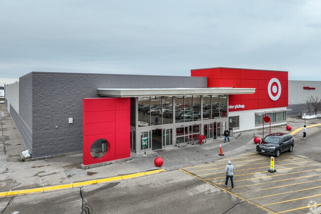
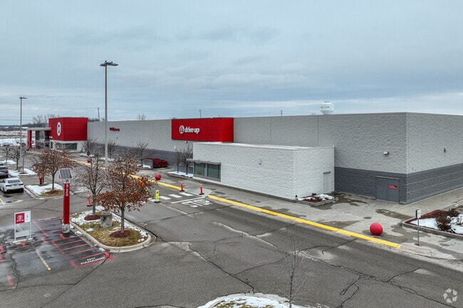
Property Record
7900 32Nd St N, Saint Paul, MN 55128

NEARBY LISTINGS FOR SALE OR LEASE
Property Detail
7900 32Nd St N
Minneapolis-St. Paul-Bloomington, MN-WI
Oakdale Marketplace
17-029-21-41-0007
SUBDIVISIONNAME OAKDALE MARKETPLACE LOT 1 BLOCK 1 SUBDIVISIONCD 01433 SUBJ TO EASE
Commercialnec
Washington
X
Minnesota
27123C0130G
1
2025
14.84 AC
2024
Woodbury
070906
Minneapolis/St Paul
125,895 SF
DEMOGRAPHICS near 7900 32Nd St N
1 Mile
3 Mile
5 Mile
2024 Total Population
3,770
44,189
152,104
2029 Population
4,131
46,474
155,800
Pop Growth 2024-2029
+ 9.58%
+ 5.17%
+ 2.43%
Average Age
39
41
39
2024 Total Households
1,254
17,371
57,019
HH Growth 2024-2029
+ 9.33%
+ 5.13%
+ 2.59%
Median Household Inc
$114,642
$85,576
$80,769
Avg Household Size
2.80
2.50
2.60
2024 Avg HH Vehicles
2.00
2.00
2.00
Median Home Value
$347,306
$298,086
$289,622
Median Year Built
1990
1985
1979
Nearby Places
Map Layers
Map Styles
 Street
 Aerial
- Restaurants
- Banks
- Shops
- Fitness
- Groceries
PUBLIC TRANSPORTATION
AIRPORT
Minneapolis-St Paul International/Wold-Chamberlain
DRIVE
WALK
Distance
Minneapolis-St Paul International/Wold-Chamberlain
32 min
20.7 mi
Freight Ports
Port Milwaukee
DRIVE
WALK
Distance
Port Milwaukee
361 min
327.2 mi
SALE & LEASE HISTORY
LISTING DATE
SALE/LEASE

Sep 22, 2017
For Sale
Nearby Properties
Address
Land Use
TOTAL SIZE
Lot Size
Zoning
Address
Land Use
TOTAL SIZE
Lot Size
Zoning
270,348 SF
35.96 AC
Address
Land Use
TOTAL SIZE
Lot Size
Zoning
272,720 SF
Address
Land Use
TOTAL SIZE
Lot Size
Zoning
228,036 SF
31.11 AC
Address
Land Use
TOTAL SIZE
Lot Size
Zoning
143,922 SF
23.12 AC
Address
Land Use
TOTAL SIZE
Lot Size
Zoning
206,658 SF
8.21 AC
Address
Land Use
TOTAL SIZE
Lot Size
Zoning
96,587 SF
17.42 AC
Address
Land Use
TOTAL SIZE
Lot Size
Zoning
256,440 SF
27.44 AC
Address
Land Use
TOTAL SIZE
Lot Size
Zoning
222,374 SF
43.99 AC
Address
Land Use
TOTAL SIZE
Lot Size
Zoning
3.91 AC
Address
Land Use
TOTAL SIZE
Lot Size
Zoning
111,528 SF
20.30 AC
Address
Land Use
TOTAL SIZE
Lot Size
Zoning
191,844 SF
10.75 AC
Address
Land Use
TOTAL SIZE
Lot Size
Zoning
188,160 SF
7.53 AC
Address
Land Use
TOTAL SIZE
Lot Size
Zoning
213,440 SF
11.43 AC
Address
Land Use
TOTAL SIZE
Lot Size
Zoning
0.73 AC
Address
Land Use
TOTAL SIZE
Lot Size
Zoning
11,580 SF
19.73 AC
Address
Land Use
TOTAL SIZE
Lot Size
Zoning
1.90 AC
Address
Land Use
TOTAL SIZE
Lot Size
Zoning
492,112 SF
4.46 AC
Address
Land Use
TOTAL SIZE
Lot Size
Zoning
201,728 SF
Address
Land Use
TOTAL SIZE
Lot Size
Zoning
94,080 SF
8.24 AC
Address
Land Use
TOTAL SIZE
Lot Size
Zoning
66,366 SF
3.06 AC
Address
Land Use
TOTAL SIZE
Lot Size
Zoning
27.92 AC
Address
Land Use
TOTAL SIZE
Lot Size
Zoning
88,119 SF
7.34 AC
Address
Land Use
TOTAL SIZE
Lot Size
Zoning
152,900 SF
2.16 AC
Address
Land Use
TOTAL SIZE
Lot Size
Zoning
190,208 SF
17.98 AC
Address
Land Use
TOTAL SIZE
Lot Size
Zoning
143,930 SF
Address
Land Use
TOTAL SIZE
Lot Size
Zoning
199,599 SF
Address
Land Use
TOTAL SIZE
Lot Size
Zoning
137,934 SF
8.52 AC
Address
Land Use
TOTAL SIZE
Lot Size
Zoning
96,801 SF
3.11 AC
Address
Land Use
TOTAL SIZE
Lot Size
Zoning
45,795 SF
4.61 AC
Address
Land Use
TOTAL SIZE
Lot Size
Zoning
388,596 SF
22.81 AC
The World's #1 Commercial Real Estate Marketplace
Connect with us
© 2026 CoStar Group
The information above has been obtained from sources believed reliable. While we do not doubt its accuracy we have not verified it and make no guarantee, warranty or representation about it. It is your responsibility to independently confirm its accuracy and completeness. Any projections, opinions, assumptions, or estimates used are for example only and do not represent the current or future performance of the property. The value of this transaction to you depends on tax and other factors which should be evaluated by your tax, financial, and legal advisors. You and your advisors should conduct a careful, independent investigation of the property to determine to your satisfaction the suitability of the property for your needs.