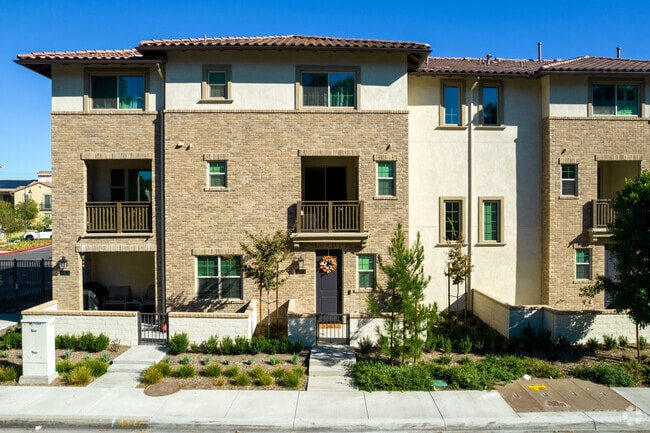
Property Record
7911 Garden Grove Blvd, Garden Grove, CA 92841
NEARBY LISTINGS FOR SALE OR LEASE
Property Detail
7911 Garden Grove Blvd
Anaheim-Santa Ana-Irvine, CA
Parcel Map No 2017 187
131-701-06
P BK 399 PG 6 PAR 9
Commercialnec
Orange
X
California
06059C0138J
0.89 AC
2024
Stanton
2025
Orange County (California)
088106
DEMOGRAPHICS near 7911 Garden Grove Blvd
1 Mile
3 Mile
5 Mile
2024 Total Population
29,927
255,414
647,652
2029 Population
29,760
252,590
639,714
Pop Growth 2024-2029
(0.56%)
(1.11%)
(1.23%)
Average Age
40
41
40
2024 Total Households
8,851
74,892
195,124
HH Growth 2024-2029
(0.45%)
(1.25%)
(1.35%)
Median Household Inc
$65,921
$79,227
$83,920
Avg Household Size
3.20
3.30
3.20
2024 Avg HH Vehicles
2.00
2.00
2.00
Median Home Value
$618,211
$703,769
$721,422
Median Year Built
1973
1967
1968
Nearby Places
- Restaurants
- Banks
- Shops
- Fitness
- Groceries
PUBLIC TRANSPORTATION
COMMUTER RAIL
Buena Park (91 Line - Southern California Regional Rail Authority (Metrolink), Orange County Line - Southern California Regional Rail Authority (Metrolink))
DRIVE
WALK
Distance
Buena Park (91 Line - Southern California Regional Rail Authority (Metrolink), Orange County Line - Southern California Regional Rail Authority (Metrolink))
14 min
8.1 mi
Anaheim-Artic Metrolink Station (Metrolink Orange County Line - Metrolink Trains)
DRIVE
WALK
Distance
Anaheim-Artic Metrolink Station (Metrolink Orange County Line - Metrolink Trains)
15 min
9.6 mi
AIRPORT
John Wayne/Orange County
DRIVE
WALK
Distance
John Wayne/Orange County
17 min
11.4 mi
Long Beach (Daugherty Field)
DRIVE
WALK
Distance
Long Beach (Daugherty Field)
16 min
12.4 mi
Los Angeles International
DRIVE
WALK
Distance
Los Angeles International
40 min
31.2 mi
Freight Ports
Port of Long Beach
DRIVE
WALK
Distance
Port of Long Beach
20 min
11.9 mi
Nearby Properties
Address
Land Use
TOTAL SIZE
Lot Size
Zoning
Address
Land Use
TOTAL SIZE
Lot Size
Zoning
Address
Land Use
TOTAL SIZE
Lot Size
Zoning
Address
Land Use
TOTAL SIZE
Lot Size
Zoning
Address
Land Use
TOTAL SIZE
Lot Size
Zoning
292,787 SF
4.95 AC
Address
Land Use
TOTAL SIZE
Lot Size
Zoning
Address
Land Use
TOTAL SIZE
Lot Size
Zoning
Address
Land Use
TOTAL SIZE
Lot Size
Zoning
Address
Land Use
TOTAL SIZE
Lot Size
Zoning
316,420 SF
11.72 AC
Address
Land Use
TOTAL SIZE
Lot Size
Zoning
22.31 AC
Address
Land Use
TOTAL SIZE
Lot Size
Zoning
35.40 AC
Address
Land Use
TOTAL SIZE
Lot Size
Zoning
4.86 AC
Address
Land Use
TOTAL SIZE
Lot Size
Zoning
23.41 AC
Address
Land Use
TOTAL SIZE
Lot Size
Zoning
Address
Land Use
TOTAL SIZE
Lot Size
Zoning
13.97 AC
Address
Land Use
TOTAL SIZE
Lot Size
Zoning
3.77 AC
Address
Land Use
TOTAL SIZE
Lot Size
Zoning
5.76 AC
Address
Land Use
TOTAL SIZE
Lot Size
Zoning
Address
Land Use
TOTAL SIZE
Lot Size
Zoning
26,960 SF
64.86 AC
Address
Land Use
TOTAL SIZE
Lot Size
Zoning
Address
Land Use
TOTAL SIZE
Lot Size
Zoning
199,534 SF
12.89 AC
Address
Land Use
TOTAL SIZE
Lot Size
Zoning
Address
Land Use
TOTAL SIZE
Lot Size
Zoning
3.12 AC
Address
Land Use
TOTAL SIZE
Lot Size
Zoning
196,168 SF
8.27 AC
Address
Land Use
TOTAL SIZE
Lot Size
Zoning
Address
Land Use
TOTAL SIZE
Lot Size
Zoning
2.55 AC
Address
Land Use
TOTAL SIZE
Lot Size
Zoning
Address
Land Use
TOTAL SIZE
Lot Size
Zoning
928 SF
5.23 AC
Address
Land Use
TOTAL SIZE
Lot Size
Zoning
109,032 SF
5.24 AC
Address
Land Use
TOTAL SIZE
Lot Size
Zoning
Address
Land Use
TOTAL SIZE
Lot Size
Zoning
12.30 AC
The World's #1 Commercial Real Estate Marketplace
Connect with us
© 2025 CoStar Group
The information above has been obtained from sources believed reliable. While we do not doubt its accuracy we have not verified it and make no guarantee, warranty or representation about it. It is your responsibility to independently confirm its accuracy and completeness. Any projections, opinions, assumptions, or estimates used are for example only and do not represent the current or future performance of the property. The value of this transaction to you depends on tax and other factors which should be evaluated by your tax, financial, and legal advisors. You and your advisors should conduct a careful, independent investigation of the property to determine to your satisfaction the suitability of the property for your needs.