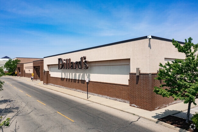
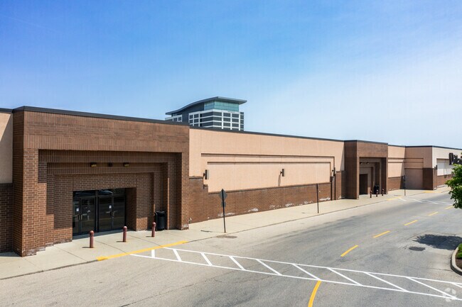
Property Record
7913 Montgomery Rd, Cincinnati, OH 45236
NEARBY LISTINGS FOR SALE OR LEASE
Property Detail
7913 Montgomery Rd
600-0080-0759
NS MONTGOMERY RD REAR4.539 ACS R1 T4 S7
Regionalshoppingcenterormallwithanchorstore
Hamilton
X
Ohio
39061C0234E
4.54 AC
2024
Kenwood
2024
Cincinnati/Dayton
024001
Cincinnati, OH-KY-IN
DEMOGRAPHICS near 7913 Montgomery Rd
1 Mile
3 Mile
5 Mile
2024 Total Population
12,081
63,191
161,658
2029 Population
12,089
62,606
160,043
Pop Growth 2024-2029
+ 0.07%
(0.93%)
(1.00%)
Average Age
42
42
41
2024 Total Households
4,864
26,355
70,830
HH Growth 2024-2029
+ 0.02%
(1.06%)
(1.08%)
Median Household Inc
$95,638
$91,233
$79,711
Avg Household Size
2.40
2.30
2.20
2024 Avg HH Vehicles
2.00
2.00
2.00
Median Home Value
$281,623
$282,200
$259,690
Median Year Built
1959
1958
1957
Nearby Places
Map Layers
Map Styles
 Street
 Aerial
- Restaurants
- Banks
- Shops
- Fitness
- Groceries
PUBLIC TRANSPORTATION
AIRPORT
Cincinnati/Northern Kentucky International
DRIVE
WALK
Distance
Cincinnati/Northern Kentucky International
43 min
25.8 mi
Freight Ports
Port of Toledo
DRIVE
WALK
Distance
Port of Toledo
235 min
201.1 mi
Nearby Properties
Address
Land Use
TOTAL SIZE
Lot Size
Zoning
Address
Land Use
TOTAL SIZE
Lot Size
Zoning
31.26 AC
E
Address
Land Use
TOTAL SIZE
Lot Size
Zoning
8.11 AC
E
Address
Land Use
TOTAL SIZE
Lot Size
Zoning
317,592 SF
29.46 AC
E
Address
Land Use
TOTAL SIZE
Lot Size
Zoning
12.43 AC
OO
Address
Land Use
TOTAL SIZE
Lot Size
Zoning
Address
Land Use
TOTAL SIZE
Lot Size
Zoning
Address
Land Use
TOTAL SIZE
Lot Size
Zoning
119.08 AC
R1
Address
Land Use
TOTAL SIZE
Lot Size
Zoning
280,900 SF
11.14 AC
D2
Address
Land Use
TOTAL SIZE
Lot Size
Zoning
15.91 AC
E
Address
Land Use
TOTAL SIZE
Lot Size
Zoning
49.51 AC
Address
Land Use
TOTAL SIZE
Lot Size
Zoning
5.78 AC
Address
Land Use
TOTAL SIZE
Lot Size
Zoning
11,393 SF
56.95 AC
Address
Land Use
TOTAL SIZE
Lot Size
Zoning
Address
Land Use
TOTAL SIZE
Lot Size
Zoning
0.26 AC
RM12
Address
Land Use
TOTAL SIZE
Lot Size
Zoning
35.74 AC
Address
Land Use
TOTAL SIZE
Lot Size
Zoning
19.17 AC
ML
Address
Land Use
TOTAL SIZE
Lot Size
Zoning
8.42 AC
Address
Land Use
TOTAL SIZE
Lot Size
Zoning
1,152 SF
24.78 AC
B
Address
Land Use
TOTAL SIZE
Lot Size
Zoning
5.79 AC
Address
Land Use
TOTAL SIZE
Lot Size
Zoning
5.33 AC
Address
Land Use
TOTAL SIZE
Lot Size
Zoning
2.08 AC
Address
Land Use
TOTAL SIZE
Lot Size
Zoning
8.75 AC
M1
Address
Land Use
TOTAL SIZE
Lot Size
Zoning
17,055 SF
6.51 AC
D1
Address
Land Use
TOTAL SIZE
Lot Size
Zoning
0.77 AC
EE
Address
Land Use
TOTAL SIZE
Lot Size
Zoning
Address
Land Use
TOTAL SIZE
Lot Size
Zoning
Address
Land Use
TOTAL SIZE
Lot Size
Zoning
4,599 SF
29.03 AC
R4
Address
Land Use
TOTAL SIZE
Lot Size
Zoning
138,040 SF
176.17 AC
Address
Land Use
TOTAL SIZE
Lot Size
Zoning
5.09 AC
Address
Land Use
TOTAL SIZE
Lot Size
Zoning
20.01 AC
The World's #1 Commercial Real Estate Marketplace
Connect with us
© 2025 CoStar Group
The information above has been obtained from sources believed reliable. While we do not doubt its accuracy we have not verified it and make no guarantee, warranty or representation about it. It is your responsibility to independently confirm its accuracy and completeness. Any projections, opinions, assumptions, or estimates used are for example only and do not represent the current or future performance of the property. The value of this transaction to you depends on tax and other factors which should be evaluated by your tax, financial, and legal advisors. You and your advisors should conduct a careful, independent investigation of the property to determine to your satisfaction the suitability of the property for your needs.