Property Record
7915 Downman Rd, New Orleans, LA 70126


NEARBY LISTINGS FOR SALE OR LEASE
Property Detail
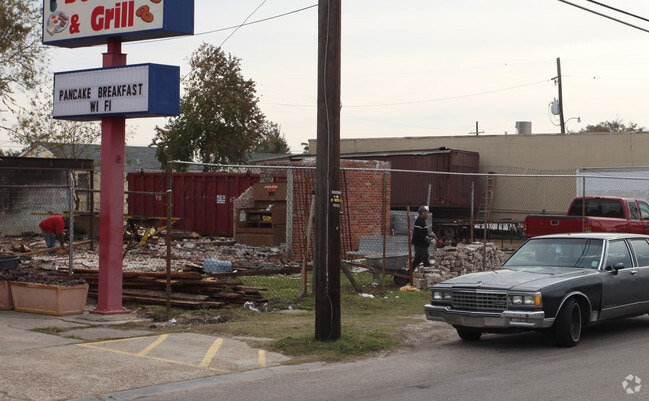
7915 Downman Rd
New Orleans/Metairie/Kenner
Entrance 1
New Orleans-Metairie, LA
SQ A ENTRANCE PK NO 1 LOT G DOWNMAN 50 X 103 OVER 104
3-9W-0-202-07
Orleans
Officebuilding
Louisiana
0
g
2024
0.24 AC
001724
New Orleans East
DEMOGRAPHICS near 7915 Downman Rd
1 Mile
3 Mile
5 Mile
2024 Total Population
6,703
61,060
145,659
2029 Population
6,404
58,183
139,557
Pop Growth 2024-2029
(4.46%)
(4.71%)
(4.19%)
Average Age
37
39
40
2024 Total Households
2,392
23,061
59,429
HH Growth 2024-2029
(4.81%)
(5.06%)
(4.39%)
Median Household Inc
$32,378
$34,982
$38,321
Avg Household Size
2.60
2.50
2.30
2024 Avg HH Vehicles
1.00
1.00
1.00
Median Home Value
$179,422
$193,231
$225,521
Median Year Built
1971
1972
1964
Nearby Places
Map Layers
Map Styles
 Street
 Aerial
- Restaurants
- Banks
- Shops
- Fitness
- Groceries
PUBLIC TRANSPORTATION
COMMUTER RAIL
DRIVE
WALK
Distance
15 min
8.3 mi
AIRPORT
Louis Armstrong New Orleans International
DRIVE
WALK
Distance
Louis Armstrong New Orleans International
27 min
18.3 mi
Freight Ports
Port of New Orleans
DRIVE
WALK
Distance
Port of New Orleans
21 min
10.7 mi
Nearby Properties
Address
Land Use
TOTAL SIZE
Lot Size
Zoning
Address
Land Use
TOTAL SIZE
Lot Size
Zoning
Address
Land Use
TOTAL SIZE
Lot Size
Zoning
150.60 AC
EC
Address
Land Use
TOTAL SIZE
Lot Size
Zoning
33.64 AC
EC
Address
Land Use
TOTAL SIZE
Lot Size
Zoning
21.35 AC
S-RS
Address
Land Use
TOTAL SIZE
Lot Size
Zoning
189,613 SF
71.45 AC
S-RD
Address
Land Use
TOTAL SIZE
Lot Size
Zoning
8,300 SF
30.83 AC
EC
Address
Land Use
TOTAL SIZE
Lot Size
Zoning
484,670 SF
18.69 AC
EC
Address
Land Use
TOTAL SIZE
Lot Size
Zoning
183.59 AC
OS-R
Address
Land Use
TOTAL SIZE
Lot Size
Zoning
21.58 AC
C-3
Address
Land Use
TOTAL SIZE
Lot Size
Zoning
136,984 SF
11.29 AC
S-RD
Address
Land Use
TOTAL SIZE
Lot Size
Zoning
136,984 SF
4.67 AC
S-RS
Address
Land Use
TOTAL SIZE
Lot Size
Zoning
104,900 SF
7.37 AC
S-RS
Address
Land Use
TOTAL SIZE
Lot Size
Zoning
435,732 SF
29.06 AC
LI
Address
Land Use
TOTAL SIZE
Lot Size
Zoning
31,894 SF
500 AC
MI
Address
Land Use
TOTAL SIZE
Lot Size
Zoning
210,959 SF
6.61 AC
EC
Address
Land Use
TOTAL SIZE
Lot Size
Zoning
7.32 AC
S-RS
Address
Land Use
TOTAL SIZE
Lot Size
Zoning
13.23 AC
MI
Address
Land Use
TOTAL SIZE
Lot Size
Zoning
94,050 SF
4.96 AC
S-RS
Address
Land Use
TOTAL SIZE
Lot Size
Zoning
98,500 SF
5.54 AC
S-RS
Address
Land Use
TOTAL SIZE
Lot Size
Zoning
4.39 AC
S-RS
Address
Land Use
TOTAL SIZE
Lot Size
Zoning
105,907 SF
3.84 AC
OS-N
Address
Land Use
TOTAL SIZE
Lot Size
Zoning
11.93 AC
S-RS
Address
Land Use
TOTAL SIZE
Lot Size
Zoning
2.48 AC
S-RD
Address
Land Use
TOTAL SIZE
Lot Size
Zoning
17.83 AC
OS-R
Address
Land Use
TOTAL SIZE
Lot Size
Zoning
114,220 SF
12.09 AC
C-2
Address
Land Use
TOTAL SIZE
Lot Size
Zoning
Address
Land Use
TOTAL SIZE
Lot Size
Zoning
93,584 SF
20.96 AC
S-RS
Address
Land Use
TOTAL SIZE
Lot Size
Zoning
20.48 AC
S-RS
Address
Land Use
TOTAL SIZE
Lot Size
Zoning
2.32 AC
C-3
The World's #1 Commercial Real Estate Marketplace
Connect with us
© 2025 CoStar Group
The information above has been obtained from sources believed reliable. While we do not doubt its accuracy we have not verified it and make no guarantee, warranty or representation about it. It is your responsibility to independently confirm its accuracy and completeness. Any projections, opinions, assumptions, or estimates used are for example only and do not represent the current or future performance of the property. The value of this transaction to you depends on tax and other factors which should be evaluated by your tax, financial, and legal advisors. You and your advisors should conduct a careful, independent investigation of the property to determine to your satisfaction the suitability of the property for your needs.