Property Record
7918 Rogers Rd, Fulshear, TX 77441

Property Detail
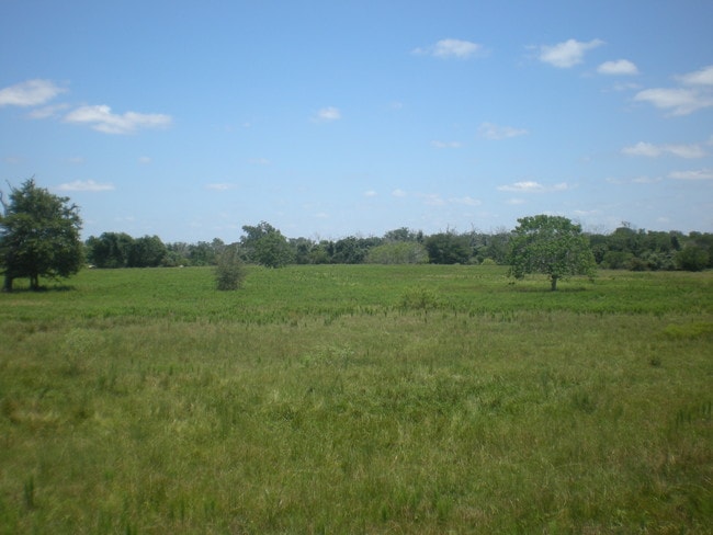
7918 Rogers Rd
Houston-Pasadena-The Woodlands, TX
0076 JNO RANDON, ACRES 204.3634
0076-00-000-0730-901
FORT BEND
Commercialnec
Texas
YQO
73
AE The base floodplain where base flood elevations are provided. AE Zones are now used on new format FIRMs instead of A1-A30 Zones.
296.94 AC
2024
Southwest Outlier
2025
Houston
673202
NEARBY LISTINGS FOR SALE OR LEASE
-
-
-
-
-
00 NWC OF UNION CHAPEL and Residential-0.88A Blvd
Fulshear, TX 77441
Rent Upon Request
0.88 AC Lots
Land
-
-
-
-
-
-
-
-
-
-
View all Fulshear listings for sale on LoopNet.com
DEMOGRAPHICS near 7918 Rogers Rd
1 mile
3 mile
5 mile
2025 Total Population
2,225
16,657
46,426
2030 Population
2,690
19,855
55,029
Pop Growth 2025-2030
+ 20.90%
+ 19.20%
+ 18.53%
Average Age
38
40
37
2025 Total Households
743
5,667
15,014
HH Growth 2025-2030
+ 21.13%
+ 19.43%
+ 18.96%
Median Household Inc
$151,344
$160,783
$155,565
Avg Household Size
3.00
2.90
3.10
2025 Avg HH Vehicles
2.00
2.00
2.00
Median Home Value
$603,598
$645,541
$597,644
Median Year Built
2011
2011
2011
Nearby Places
Map Layers
Map Styles
 Street
 Aerial
Transit
 Traffic
 Biking
Places
Listings with unknown addresses are not visible on the map
- Restaurants
- Banks
- Shops
- Fitness
- Groceries
Nearby Properties
Address
Land Use
TOTAL SIZE
Lot Size
Zoning
Address
Land Use
TOTAL SIZE
Lot Size
Zoning
83.43 AC
Address
Land Use
TOTAL SIZE
Lot Size
Zoning
4.73 AC
Z
Address
Land Use
TOTAL SIZE
Lot Size
Zoning
14.88 AC
Address
Land Use
TOTAL SIZE
Lot Size
Zoning
58,037 SF
18.96 AC
QXS
Address
Land Use
TOTAL SIZE
Lot Size
Zoning
14.98 AC
Address
Land Use
TOTAL SIZE
Lot Size
Zoning
30.29 AC
Address
Land Use
TOTAL SIZE
Lot Size
Zoning
9.26 AC
Address
Land Use
TOTAL SIZE
Lot Size
Zoning
26.67 AC
Address
Land Use
TOTAL SIZE
Lot Size
Zoning
254.79 AC
Address
Land Use
TOTAL SIZE
Lot Size
Zoning
86.07 AC
S
Address
Land Use
TOTAL SIZE
Lot Size
Zoning
9.92 AC
QSY
Address
Land Use
TOTAL SIZE
Lot Size
Zoning
14.01 AC
TS
Address
Land Use
TOTAL SIZE
Lot Size
Zoning
6.40 AC
Address
Land Use
TOTAL SIZE
Lot Size
Zoning
1,105 SF
196.73 AC
QTYS
Address
Land Use
TOTAL SIZE
Lot Size
Zoning
183.33 AC
SOQT
Address
Land Use
TOTAL SIZE
Lot Size
Zoning
2.49 AC
Address
Land Use
TOTAL SIZE
Lot Size
Zoning
80.22 AC
Address
Land Use
TOTAL SIZE
Lot Size
Zoning
69.68 AC
Address
Land Use
TOTAL SIZE
Lot Size
Zoning
10,850 SF
0.69 AC
X
Address
Land Use
TOTAL SIZE
Lot Size
Zoning
21,504 SF
0.34 AC
Address
Land Use
TOTAL SIZE
Lot Size
Zoning
14.22 AC
Address
Land Use
TOTAL SIZE
Lot Size
Zoning
Address
Land Use
TOTAL SIZE
Lot Size
Zoning
4,320 SF
70.21 AC
SZON
Address
Land Use
TOTAL SIZE
Lot Size
Zoning
74.70 AC
TQO
Address
Land Use
TOTAL SIZE
Lot Size
Zoning
8,493 SF
10 AC
Address
Land Use
TOTAL SIZE
Lot Size
Zoning
3.15 AC
Address
Land Use
TOTAL SIZE
Lot Size
Zoning
Address
Land Use
TOTAL SIZE
Lot Size
Zoning
Address
Land Use
TOTAL SIZE
Lot Size
Zoning
3.64 AC
The World's #1 Commercial Real Estate Marketplace
Connect with us
© 2026 CoStar Group
The information above has been obtained from sources believed reliable. While we do not doubt its accuracy we have not verified it and make no guarantee, warranty or representation about it. It is your responsibility to independently confirm its accuracy and completeness. Any projections, opinions, assumptions, or estimates used are for example only and do not represent the current or future performance of the property. The value of this transaction to you depends on tax and other factors which should be evaluated by your tax, financial, and legal advisors. You and your advisors should conduct a careful, independent investigation of the property to determine to your satisfaction the suitability of the property for your needs.