Property Record
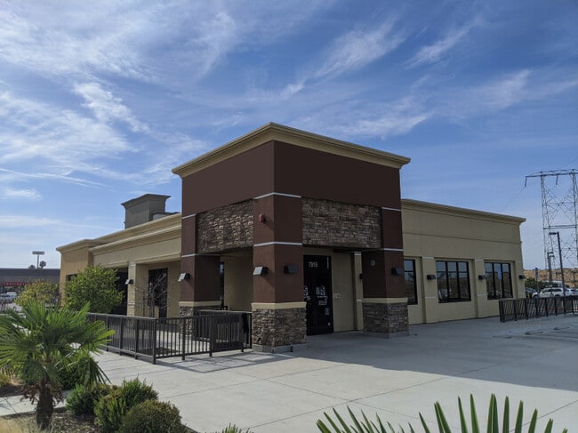
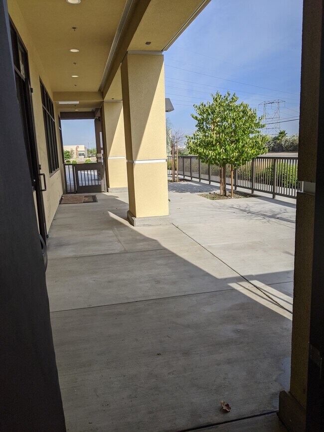
7919 E Brundage Ln, Bakersfield, CA 93307

Property Detail
7919 E Brundage Ln
173-020-57-00-3
SECTION 1 , TOWNSHIP 30 , RANGE 28 , QUARTER
Restaurantbuilding
Kern
M-2 PD
California
B and X Area of moderate flood hazard, usually the area between the limits of the 100-year and 500-year floods.
2
2024
1.08 AC
2025
Southeast Bakersfield
002303
Bakersfield
4,679 SF
Bakersfield-Delano, CA
NEARBY LISTINGS FOR SALE OR LEASE
-
-
View all Bakersfield listings for sale on LoopNet.com
DEMOGRAPHICS near 7919 E Brundage Ln
1 mile
3 mile
5 mile
2025 Total Population
4,852
57,218
146,003
2030 Population
4,932
57,971
147,756
Pop Growth 2025-2030
+ 1.65%
+ 1.32%
+ 1.20%
Average Age
34
34
34
2025 Total Households
1,290
15,562
42,080
HH Growth 2025-2030
+ 1.47%
+ 1.25%
+ 1.19%
Median Household Inc
$62,186
$60,031
$56,227
Avg Household Size
3.70
3.60
3.30
2025 Avg HH Vehicles
2.00
2.00
2.00
Median Home Value
$315,896
$286,658
$299,218
Median Year Built
1985
1977
1973
Nearby Places
Map Layers
Map Styles
 Street
 Aerial
Transit
 Traffic
 Biking
Places
Listings with unknown addresses are not visible on the map
- Restaurants
- Banks
- Shops
- Fitness
- Groceries
PUBLIC TRANSPORTATION
COMMUTER RAIL
Drive
Walk
Distance
12 min
6.2 mi
AIRPORT
Meadows Field
Drive
Walk
Distance
Meadows Field
24 min
14.2 mi
SALE & LEASE HISTORY
LISTING DATE
SALE/LEASE

Jul 09, 2020
For Lease
Jul 08, 2020
For Sale
Aug 12, 2021
For Sale
Nearby Properties
Address
Land Use
TOTAL SIZE
Lot Size
Zoning
Address
Land Use
TOTAL SIZE
Lot Size
Zoning
18,000 SF
35.01 AC
M-2
Address
Land Use
TOTAL SIZE
Lot Size
Zoning
1.38 AC
C-2
Address
Land Use
TOTAL SIZE
Lot Size
Zoning
66,139 SF
4.48 AC
CO
Address
Land Use
TOTAL SIZE
Lot Size
Zoning
112,052 SF
3.14 AC
R3
Address
Land Use
TOTAL SIZE
Lot Size
Zoning
66,139 SF
4.48 AC
CO
Address
Land Use
TOTAL SIZE
Lot Size
Zoning
50,445 SF
2.53 AC
C2
Address
Land Use
TOTAL SIZE
Lot Size
Zoning
10.31 AC
Address
Land Use
TOTAL SIZE
Lot Size
Zoning
127,224 SF
7 AC
R-2/PUD
Address
Land Use
TOTAL SIZE
Lot Size
Zoning
17,567 SF
19.39 AC
M2
Address
Land Use
TOTAL SIZE
Lot Size
Zoning
17.85 AC
M3
Address
Land Use
TOTAL SIZE
Lot Size
Zoning
0.41 AC
R1
Address
Land Use
TOTAL SIZE
Lot Size
Zoning
33,264 SF
28.68 AC
AG
Address
Land Use
TOTAL SIZE
Lot Size
Zoning
66,582 SF
3.36 AC
R-2
Address
Land Use
TOTAL SIZE
Lot Size
Zoning
68,264 SF
6.56 AC
C2
Address
Land Use
TOTAL SIZE
Lot Size
Zoning
46,522 SF
3.35 AC
R2
Address
Land Use
TOTAL SIZE
Lot Size
Zoning
11.05 AC
C2/PCD
Address
Land Use
TOTAL SIZE
Lot Size
Zoning
95,258 SF
5.34 AC
PUD
Address
Land Use
TOTAL SIZE
Lot Size
Zoning
9,627 SF
12.37 AC
C2
Address
Land Use
TOTAL SIZE
Lot Size
Zoning
93,070 SF
7.98 AC
PUD
Address
Land Use
TOTAL SIZE
Lot Size
Zoning
97,900 SF
6.98 AC
M-2 PD
Address
Land Use
TOTAL SIZE
Lot Size
Zoning
44,779 SF
2.17 AC
M2
Address
Land Use
TOTAL SIZE
Lot Size
Zoning
41,089 SF
5.96 AC
C-2 PD
Address
Land Use
TOTAL SIZE
Lot Size
Zoning
39,175 SF
12.21 AC
M2
Address
Land Use
TOTAL SIZE
Lot Size
Zoning
47,592 SF
35.87 AC
M2
Address
Land Use
TOTAL SIZE
Lot Size
Zoning
5.63 AC
C2
Address
Land Use
TOTAL SIZE
Lot Size
Zoning
2.63 AC
M-2
Address
Land Use
TOTAL SIZE
Lot Size
Zoning
85,718 SF
4.72 AC
R-3
Address
Land Use
TOTAL SIZE
Lot Size
Zoning
149.22 AC
Address
Land Use
TOTAL SIZE
Lot Size
Zoning
123,309 SF
9.83 AC
M-2
Address
Land Use
TOTAL SIZE
Lot Size
Zoning
12,124 SF
10.06 AC
M2
The World's #1 Commercial Real Estate Marketplace
Connect with us
© 2026 CoStar Group
The information above has been obtained from sources believed reliable. While we do not doubt its accuracy we have not verified it and make no guarantee, warranty or representation about it. It is your responsibility to independently confirm its accuracy and completeness. Any projections, opinions, assumptions, or estimates used are for example only and do not represent the current or future performance of the property. The value of this transaction to you depends on tax and other factors which should be evaluated by your tax, financial, and legal advisors. You and your advisors should conduct a careful, independent investigation of the property to determine to your satisfaction the suitability of the property for your needs.