Property Record
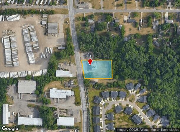
7982 Division Ave S, Grand Rapids, MI 49548


NEARBY LISTINGS FOR SALE OR LEASE
Property Detail
7982 Division Ave S
41-22-18-165-024
Lying E Of Cl Of Division
Manufacturinglight
412218165024 S 180.0 FT OF W 381.30 FT OF SW 1/4 NW 1/4 LYING E OF CL OF DIVISION AVE * SEC 18 T5N R11W 1.24 A.
X
Kent
26005C0125G
Michigan
2023
1.24 AC
2025
Byron/Gaines
014805
West Michigan
3,200 SF
Grand Rapids-Wyoming, MI
DEMOGRAPHICS near 7982 Division Ave S
1 Mile
3 Mile
5 Mile
2024 Total Population
3,920
43,158
104,719
2029 Population
3,992
43,569
105,866
Pop Growth 2024-2029
+ 1.84%
+ 0.95%
+ 1.10%
Average Age
39
38
38
2024 Total Households
1,458
16,138
38,207
HH Growth 2024-2029
+ 1.78%
+ 0.96%
+ 1.10%
Median Household Inc
$81,869
$71,604
$71,992
Avg Household Size
2.70
2.60
2.70
2024 Avg HH Vehicles
2.00
2.00
2.00
Median Home Value
$277,673
$258,032
$243,886
Median Year Built
1996
1992
1987
Nearby Places
Map Layers
Map Styles
 Street
 Aerial
- Restaurants
- Banks
- Shops
- Fitness
- Groceries
PUBLIC TRANSPORTATION
AIRPORT
Gerald R Ford International
DRIVE
WALK
Distance
Gerald R Ford International
21 min
12.4 mi
SALE & LEASE HISTORY
LISTING DATE
SALE/LEASE

Apr 28, 2021
For Sale
Nearby Properties
Address
Land Use
TOTAL SIZE
Lot Size
Zoning
Address
Land Use
TOTAL SIZE
Lot Size
Zoning
490,769 SF
42.25 AC
B3
Address
Land Use
TOTAL SIZE
Lot Size
Zoning
63,788 SF
124.62 AC
D1
Address
Land Use
TOTAL SIZE
Lot Size
Zoning
48.43 AC
PUD-PL UNI
Address
Land Use
TOTAL SIZE
Lot Size
Zoning
487,739 SF
73.87 AC
RR
Address
Land Use
TOTAL SIZE
Lot Size
Zoning
38.98 AC
PUD-PL UNI
Address
Land Use
TOTAL SIZE
Lot Size
Zoning
58.30 AC
RA
Address
Land Use
TOTAL SIZE
Lot Size
Zoning
2,593 SF
18 AC
PUD-PL UNI
Address
Land Use
TOTAL SIZE
Lot Size
Zoning
229,572 SF
16.20 AC
PUD-PL UNI
Address
Land Use
TOTAL SIZE
Lot Size
Zoning
720 SF
74.47 AC
R4-MOBILE
Address
Land Use
TOTAL SIZE
Lot Size
Zoning
57,030 SF
17.74 AC
R3-MED RES
Address
Land Use
TOTAL SIZE
Lot Size
Zoning
108,911 SF
10.80 AC
D1
Address
Land Use
TOTAL SIZE
Lot Size
Zoning
16.30 AC
I1
Address
Land Use
TOTAL SIZE
Lot Size
Zoning
1,296 SF
12 AC
PUD-PL UNI
Address
Land Use
TOTAL SIZE
Lot Size
Zoning
30 AC
RS
Address
Land Use
TOTAL SIZE
Lot Size
Zoning
140,742 SF
18.57 AC
D1
Address
Land Use
TOTAL SIZE
Lot Size
Zoning
49.29 AC
R4-MOBILE
Address
Land Use
TOTAL SIZE
Lot Size
Zoning
48.57 AC
RD
Address
Land Use
TOTAL SIZE
Lot Size
Zoning
89,453 SF
9.12 AC
PUD-PL UNI
Address
Land Use
TOTAL SIZE
Lot Size
Zoning
45.66 AC
RD
Address
Land Use
TOTAL SIZE
Lot Size
Zoning
1,356 SF
31.16 AC
R5
Address
Land Use
TOTAL SIZE
Lot Size
Zoning
Address
Land Use
TOTAL SIZE
Lot Size
Zoning
22.37 AC
Address
Land Use
TOTAL SIZE
Lot Size
Zoning
1.11 AC
PUD-PL UNI
Address
Land Use
TOTAL SIZE
Lot Size
Zoning
201,500 SF
11.98 AC
D1
Address
Land Use
TOTAL SIZE
Lot Size
Zoning
Address
Land Use
TOTAL SIZE
Lot Size
Zoning
Address
Land Use
TOTAL SIZE
Lot Size
Zoning
31.20 AC
R4-MOBILE
Address
Land Use
TOTAL SIZE
Lot Size
Zoning
205,000 SF
9.88 AC
D1
Address
Land Use
TOTAL SIZE
Lot Size
Zoning
4.74 AC
D1PUD
Address
Land Use
TOTAL SIZE
Lot Size
Zoning
96,550 SF
19.95 AC
D1
The World's #1 Commercial Real Estate Marketplace
Connect with us
© 2025 CoStar Group
The information above has been obtained from sources believed reliable. While we do not doubt its accuracy we have not verified it and make no guarantee, warranty or representation about it. It is your responsibility to independently confirm its accuracy and completeness. Any projections, opinions, assumptions, or estimates used are for example only and do not represent the current or future performance of the property. The value of this transaction to you depends on tax and other factors which should be evaluated by your tax, financial, and legal advisors. You and your advisors should conduct a careful, independent investigation of the property to determine to your satisfaction the suitability of the property for your needs.