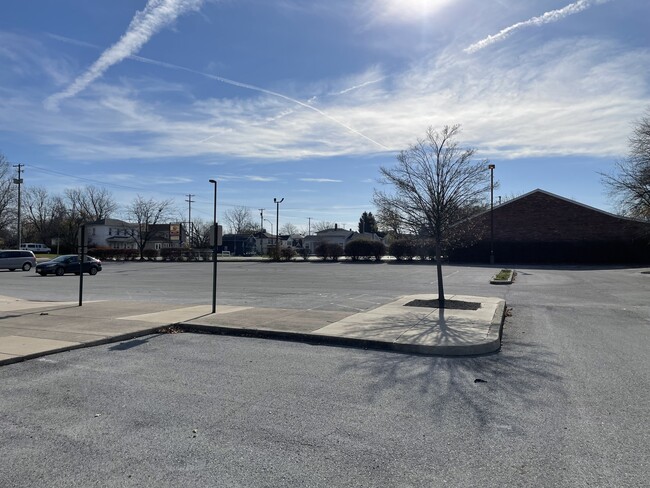
Property Record
799 N Main St, Lima, OH 45801


NEARBY LISTINGS FOR SALE OR LEASE
Property Detail
799 N Main St
Lima, OH
Robbs Addition
37-30-10-09-039.000
MCKIBBEN AND ROBBS ADDITION OL 198 N PT & OL 199 & 200 FF 297.02
Stateproperty
Allen
X
Ohio
39003C0213E
198
2024
1.49 AC
2024
Lima/Findlay
012400
Other Market Areas
13,440 SF
DEMOGRAPHICS near 799 N Main St
1 Mile
3 Mile
5 Mile
2024 Total Population
10,585
48,822
65,800
2029 Population
10,582
48,746
65,561
Pop Growth 2024-2029
(0.03%)
(0.16%)
(0.36%)
Average Age
36
39
40
2024 Total Households
4,318
19,885
26,923
HH Growth 2024-2029
(0.19%)
(0.30%)
(0.46%)
Median Household Inc
$33,231
$40,659
$44,807
Avg Household Size
2.30
2.20
2.30
2024 Avg HH Vehicles
1.00
2.00
2.00
Median Home Value
$59,440
$88,738
$120,988
Median Year Built
1948
1958
1963
Nearby Places
Map Layers
Map Styles
 Street
 Aerial
- Restaurants
- Banks
- Shops
- Fitness
- Groceries
SALE & LEASE HISTORY
LISTING DATE
SALE/LEASE

Nov 20, 2023
For Sale
Nearby Properties
Address
Land Use
TOTAL SIZE
Lot Size
Zoning
Address
Land Use
TOTAL SIZE
Lot Size
Zoning
628,932 SF
9.08 AC
Address
Land Use
TOTAL SIZE
Lot Size
Zoning
359,238 SF
9.72 AC
Address
Land Use
TOTAL SIZE
Lot Size
Zoning
242,023 SF
3.81 AC
Address
Land Use
TOTAL SIZE
Lot Size
Zoning
387.31 AC
Address
Land Use
TOTAL SIZE
Lot Size
Zoning
285,016 SF
31.90 AC
Address
Land Use
TOTAL SIZE
Lot Size
Zoning
209,864 SF
87.96 AC
Address
Land Use
TOTAL SIZE
Lot Size
Zoning
5,520 SF
12.99 AC
Address
Land Use
TOTAL SIZE
Lot Size
Zoning
75,197 SF
45.82 AC
Address
Land Use
TOTAL SIZE
Lot Size
Zoning
523,578 SF
468.55 AC
Address
Land Use
TOTAL SIZE
Lot Size
Zoning
131,584 SF
32.09 AC
Address
Land Use
TOTAL SIZE
Lot Size
Zoning
104,798 SF
0.94 AC
Address
Land Use
TOTAL SIZE
Lot Size
Zoning
120,810 SF
35.76 AC
Address
Land Use
TOTAL SIZE
Lot Size
Zoning
269.47 AC
Address
Land Use
TOTAL SIZE
Lot Size
Zoning
321,048 SF
27.37 AC
Address
Land Use
TOTAL SIZE
Lot Size
Zoning
62,626 SF
5.16 AC
Address
Land Use
TOTAL SIZE
Lot Size
Zoning
16,992 SF
21.86 AC
Address
Land Use
TOTAL SIZE
Lot Size
Zoning
652,254 SF
46.12 AC
Address
Land Use
TOTAL SIZE
Lot Size
Zoning
134,124 SF
29.04 AC
Address
Land Use
TOTAL SIZE
Lot Size
Zoning
177,998 SF
22.49 AC
Address
Land Use
TOTAL SIZE
Lot Size
Zoning
585,479 SF
28.85 AC
Address
Land Use
TOTAL SIZE
Lot Size
Zoning
50,497 SF
38.72 AC
Address
Land Use
TOTAL SIZE
Lot Size
Zoning
92.37 AC
Address
Land Use
TOTAL SIZE
Lot Size
Zoning
70,067 SF
9.50 AC
Address
Land Use
TOTAL SIZE
Lot Size
Zoning
101,362 SF
2.78 AC
Address
Land Use
TOTAL SIZE
Lot Size
Zoning
80,130 SF
6.69 AC
Address
Land Use
TOTAL SIZE
Lot Size
Zoning
58,280 SF
2.60 AC
Address
Land Use
TOTAL SIZE
Lot Size
Zoning
62,566 SF
13 AC
Address
Land Use
TOTAL SIZE
Lot Size
Zoning
65,986 SF
6.50 AC
Address
Land Use
TOTAL SIZE
Lot Size
Zoning
87,128 SF
1.89 AC
Address
Land Use
TOTAL SIZE
Lot Size
Zoning
100,154 SF
2.39 AC
The World's #1 Commercial Real Estate Marketplace
Connect with us
© 2026 CoStar Group
The information above has been obtained from sources believed reliable. While we do not doubt its accuracy we have not verified it and make no guarantee, warranty or representation about it. It is your responsibility to independently confirm its accuracy and completeness. Any projections, opinions, assumptions, or estimates used are for example only and do not represent the current or future performance of the property. The value of this transaction to you depends on tax and other factors which should be evaluated by your tax, financial, and legal advisors. You and your advisors should conduct a careful, independent investigation of the property to determine to your satisfaction the suitability of the property for your needs.