Property Record
8 Municipal Dr, Carrollton, MO 64633

NEARBY LISTINGS FOR SALE OR LEASE
Property Detail
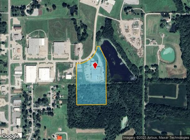
8 Municipal Dr
14-8.0-28-0-00-013.08
BLOCK 6 CARR IND PARK PHASE 1 IRR TR SE 1/4 SEC 28 COMM NW CORNER SE 1/4 S867.76',ECT
Warehouse
Carroll
X
Missouri
29195C0075C
12.32 AC
2024
Missouri North Area
2025
Other Market Areas
960300
DEMOGRAPHICS near 8 Municipal Dr
1 Mile
3 Mile
5 Mile
2024 Total Population
822
4,322
4,623
2029 Population
813
4,325
4,611
Pop Growth 2024-2029
(1.09%)
+ 0.07%
(0.26%)
Average Age
44
43
43
2024 Total Households
332
1,825
1,950
HH Growth 2024-2029
(0.90%)
+ 0.16%
(0.15%)
Median Household Inc
$32,321
$54,300
$54,908
Avg Household Size
2.30
2.20
2.30
2024 Avg HH Vehicles
2.00
2.00
2.00
Median Home Value
$87,109
$89,822
$91,712
Median Year Built
1970
1964
1964
Nearby Places
Map Layers
Map Styles
 Street
 Aerial
- Restaurants
- Banks
- Shops
- Fitness
- Groceries
SALE & LEASE HISTORY
LISTING DATE
SALE/LEASE

Jan 16, 2018
For Sale
Nearby Properties
Address
Land Use
TOTAL SIZE
Lot Size
Zoning
Address
Land Use
TOTAL SIZE
Lot Size
Zoning
Address
Land Use
TOTAL SIZE
Lot Size
Zoning
2.85 AC
Address
Land Use
TOTAL SIZE
Lot Size
Zoning
18,050 SF
2.11 AC
Address
Land Use
TOTAL SIZE
Lot Size
Zoning
46.77 AC
Address
Land Use
TOTAL SIZE
Lot Size
Zoning
720 SF
4.63 AC
Address
Land Use
TOTAL SIZE
Lot Size
Zoning
0.65 AC
Address
Land Use
TOTAL SIZE
Lot Size
Zoning
2.54 AC
Address
Land Use
TOTAL SIZE
Lot Size
Zoning
26,820 SF
3.60 AC
Address
Land Use
TOTAL SIZE
Lot Size
Zoning
7,930 SF
0.94 AC
Address
Land Use
TOTAL SIZE
Lot Size
Zoning
Address
Land Use
TOTAL SIZE
Lot Size
Zoning
3.10 AC
Address
Land Use
TOTAL SIZE
Lot Size
Zoning
Address
Land Use
TOTAL SIZE
Lot Size
Zoning
5.18 AC
Address
Land Use
TOTAL SIZE
Lot Size
Zoning
3,309 SF
0.40 AC
Address
Land Use
TOTAL SIZE
Lot Size
Zoning
9,301 SF
1.42 AC
Address
Land Use
TOTAL SIZE
Lot Size
Zoning
2,501 SF
0.57 AC
Address
Land Use
TOTAL SIZE
Lot Size
Zoning
22.90 AC
Address
Land Use
TOTAL SIZE
Lot Size
Zoning
0.28 AC
Address
Land Use
TOTAL SIZE
Lot Size
Zoning
4,300 SF
1.76 AC
Address
Land Use
TOTAL SIZE
Lot Size
Zoning
65.90 AC
Address
Land Use
TOTAL SIZE
Lot Size
Zoning
0.46 AC
Address
Land Use
TOTAL SIZE
Lot Size
Zoning
6.30 AC
Address
Land Use
TOTAL SIZE
Lot Size
Zoning
9.60 AC
Address
Land Use
TOTAL SIZE
Lot Size
Zoning
80 AC
Address
Land Use
TOTAL SIZE
Lot Size
Zoning
0.86 AC
The World's #1 Commercial Real Estate Marketplace
Connect with us
© 2025 CoStar Group
The information above has been obtained from sources believed reliable. While we do not doubt its accuracy we have not verified it and make no guarantee, warranty or representation about it. It is your responsibility to independently confirm its accuracy and completeness. Any projections, opinions, assumptions, or estimates used are for example only and do not represent the current or future performance of the property. The value of this transaction to you depends on tax and other factors which should be evaluated by your tax, financial, and legal advisors. You and your advisors should conduct a careful, independent investigation of the property to determine to your satisfaction the suitability of the property for your needs.