Property Record
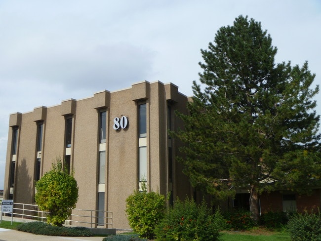
80 Garden Ctr, Broomfield, CO 80020


Property Detail
80 Garden Ctr
1575-35-2-17-026
SUBD: BROOMFIELD HEIGHTS FILING NO 2 & REPLAT LOT: 4 BLOCK: 40
Officebuilding
Broomfield
B-1
Colorado
B and X Area of moderate flood hazard, usually the area between the limits of the 100-year and 500-year floods.
4
2024
0.51 AC
2025
Broomfield County
030100
Denver
36,169 SF
Denver-Aurora-Centennial, CO
NEARBY LISTINGS FOR SALE OR LEASE
DEMOGRAPHICS near 80 Garden Ctr
1 mile
3 mile
5 mile
2024 Total Population
9,967
67,049
199,449
2029 Population
10,273
69,057
203,251
Pop Growth 2024-2029
+ 3.07%
+ 2.99%
+ 1.91%
Average Age
40
39
40
2024 Total Households
4,230
27,726
80,450
HH Growth 2024-2029
+ 3.43%
+ 3.47%
+ 2.18%
Median Household Inc
$89,445
$107,827
$112,375
Avg Household Size
2.30
2.40
2.40
2024 Avg HH Vehicles
2.00
2.00
2.00
Median Home Value
$592,496
$663,928
$674,667
Median Year Built
1975
1995
1993
Nearby Places
Map Layers
Map Styles
 Street
 Aerial
Transit
 Traffic
 Biking
Places
Listings with unknown addresses are not visible on the map
- Restaurants
- Banks
- Shops
- Fitness
- Groceries
PUBLIC TRANSPORTATION
COMMUTER RAIL
Eastlake - 124Th Station Track 2 (Union Station to Eastlake & 124th Station - Regional Transportation District)
Drive
Walk
Distance
Eastlake - 124Th Station Track 2 (Union Station to Eastlake & 124th Station - Regional Transportation District)
16 min
8.2 mi
Northglenn - 112Th Station Track 2 (Union Station to Eastlake & 124th Station - Regional Transportation District)
Drive
Walk
Distance
Northglenn - 112Th Station Track 2 (Union Station to Eastlake & 124th Station - Regional Transportation District)
17 min
8.7 mi
AIRPORT
Denver International
Drive
Walk
Distance
Denver International
38 min
33.0 mi
Freight Ports
Tulsa Port Of Catoosa
Drive
Walk
Distance
Tulsa Port Of Catoosa
740 min
718.7 mi
SALE & LEASE HISTORY
LISTING DATE
SALE/LEASE

May 21, 2023
For Sale
Aug 16, 2025
For Sale
The World's #1 Commercial Real Estate Marketplace
Connect with us
© 2026 CoStar Group
The information above has been obtained from sources believed reliable. While we do not doubt its accuracy we have not verified it and make no guarantee, warranty or representation about it. It is your responsibility to independently confirm its accuracy and completeness. Any projections, opinions, assumptions, or estimates used are for example only and do not represent the current or future performance of the property. The value of this transaction to you depends on tax and other factors which should be evaluated by your tax, financial, and legal advisors. You and your advisors should conduct a careful, independent investigation of the property to determine to your satisfaction the suitability of the property for your needs.