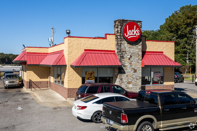
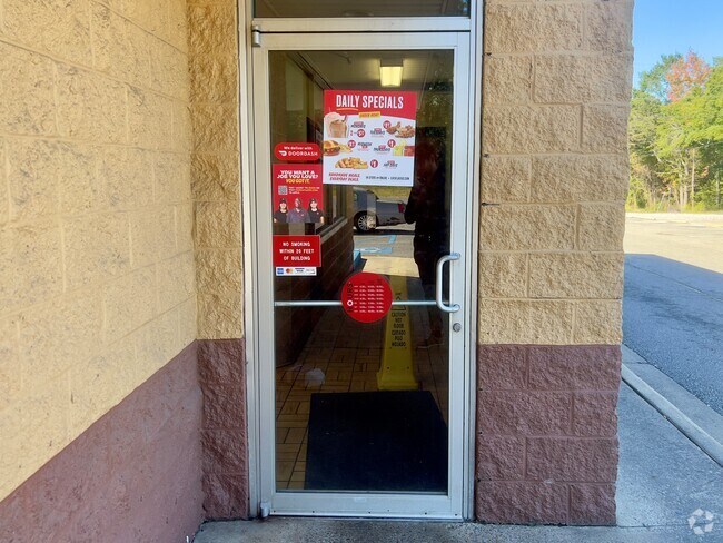
Property Record
80 Highway 195, Jasper, AL 35503
NEARBY LISTINGS FOR SALE OR LEASE
Property Detail
80 Highway 195
17-02-04-3-302-016-0000
LOTS 4-5-6-7 & PT VAC ALLEY BEG NW COR LOT 5 TH W 20 TH S 108 TH E 20 TH N 108 POB BLK 46 KILGORE THIRD N HIGHLANDS ADD ALSO
Restaurantdrivein
Walker
X
Alabama
01127C0306E
4-14
2025
1.10 AC
2024
Walker County
0202001079
Birmingham
2,877 SF
Birmingham-Hoover, AL
DEMOGRAPHICS near 80 Highway 195
1 Mile
3 Mile
5 Mile
2024 Total Population
2,762
12,498
20,015
2029 Population
2,710
12,200
19,570
Pop Growth 2024-2029
(1.88%)
(2.38%)
(2.22%)
Average Age
41
42
42
2024 Total Households
1,051
4,949
7,874
HH Growth 2024-2029
(1.90%)
(2.34%)
(2.15%)
Median Household Inc
$56,041
$47,564
$50,208
Avg Household Size
2.30
2.30
2.40
2024 Avg HH Vehicles
2.00
2.00
2.00
Median Home Value
$183,811
$179,170
$173,515
Median Year Built
1974
1976
1979
Nearby Places
Map Layers
Map Styles
 Street
 Aerial
- Restaurants
- Banks
- Shops
- Fitness
- Groceries
PUBLIC TRANSPORTATION
AIRPORT
Birmingham-Shuttlesworth International
DRIVE
WALK
Distance
Birmingham-Shuttlesworth International
59 min
47.0 mi
Nearby Properties
Address
Land Use
TOTAL SIZE
Lot Size
Zoning
Address
Land Use
TOTAL SIZE
Lot Size
Zoning
86,928 SF
19 AC
OT
Address
Land Use
TOTAL SIZE
Lot Size
Zoning
55,188 SF
4.80 AC
OT
Address
Land Use
TOTAL SIZE
Lot Size
Zoning
8,932 SF
7.50 AC
CO
Address
Land Use
TOTAL SIZE
Lot Size
Zoning
60,200 SF
5.60 AC
OT
Address
Land Use
TOTAL SIZE
Lot Size
Zoning
44,601 SF
3.80 AC
OT
Address
Land Use
TOTAL SIZE
Lot Size
Zoning
38,770 SF
180 AC
CO
Address
Land Use
TOTAL SIZE
Lot Size
Zoning
26,446 SF
43 AC
CO
Address
Land Use
TOTAL SIZE
Lot Size
Zoning
4,830 SF
6.10 AC
OT
Address
Land Use
TOTAL SIZE
Lot Size
Zoning
30,981 SF
3.90 AC
S
Address
Land Use
TOTAL SIZE
Lot Size
Zoning
100 SF
20 AC
OT
Address
Land Use
TOTAL SIZE
Lot Size
Zoning
19,040 SF
2 AC
OT
Address
Land Use
TOTAL SIZE
Lot Size
Zoning
22,364 SF
4 AC
O
Address
Land Use
TOTAL SIZE
Lot Size
Zoning
54,905 SF
3 AC
C
Address
Land Use
TOTAL SIZE
Lot Size
Zoning
13,578 SF
1.60 AC
O
Address
Land Use
TOTAL SIZE
Lot Size
Zoning
67,456 SF
11 AC
O
Address
Land Use
TOTAL SIZE
Lot Size
Zoning
8,885 SF
1.49 AC
S
The World's #1 Commercial Real Estate Marketplace
Connect with us
© 2026 CoStar Group
The information above has been obtained from sources believed reliable. While we do not doubt its accuracy we have not verified it and make no guarantee, warranty or representation about it. It is your responsibility to independently confirm its accuracy and completeness. Any projections, opinions, assumptions, or estimates used are for example only and do not represent the current or future performance of the property. The value of this transaction to you depends on tax and other factors which should be evaluated by your tax, financial, and legal advisors. You and your advisors should conduct a careful, independent investigation of the property to determine to your satisfaction the suitability of the property for your needs.