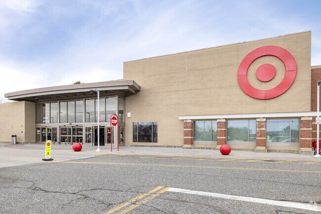
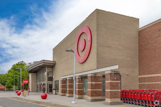
Property Record
80 N Research Pl, Central Islip, NY 11722

NEARBY LISTINGS FOR SALE OR LEASE
Property Detail
80 N Research Pl
Nassau County-Suffolk County, NY
EDZ N024N00000000
0500-187-00-03-00-012-004
Suffolk
Storebuilding
New York
X
300
36103C0665H
9.79 AC
0
Western Suffolk
2024
Long Island (New York)
146300
DEMOGRAPHICS near 80 N Research Pl
1 Mile
3 Mile
5 Mile
2024 Total Population
17,020
114,214
237,762
2029 Population
16,525
110,822
231,593
Pop Growth 2024-2029
(2.91%)
(2.97%)
(2.59%)
Average Age
38
38
39
2024 Total Households
4,793
31,074
70,274
HH Growth 2024-2029
(2.52%)
(3.03%)
(2.56%)
Median Household Inc
$94,489
$106,706
$112,800
Avg Household Size
3.30
3.40
3.20
2024 Avg HH Vehicles
2.00
2.00
2.00
Median Home Value
$368,454
$404,341
$447,180
Median Year Built
1981
1967
1966
Nearby Places
Map Layers
Map Styles
 Street
 Aerial
- Restaurants
- Banks
- Shops
- Fitness
- Groceries
PUBLIC TRANSPORTATION
COMMUTER RAIL
Central Islip Station (Ronkonkoma Branch - Long Island Rail Road)
DRIVE
WALK
Distance
Central Islip Station (Ronkonkoma Branch - Long Island Rail Road)
4 min
1.7 mi
Islip Station (Montauk Branch - Long Island Rail Road)
DRIVE
WALK
Distance
Islip Station (Montauk Branch - Long Island Rail Road)
7 min
3.7 mi
AIRPORT
Long Island MacArthur
DRIVE
WALK
Distance
Long Island MacArthur
15 min
7.6 mi
John F Kennedy International
DRIVE
WALK
Distance
John F Kennedy International
51 min
37.9 mi
Nearby Properties
Address
Land Use
TOTAL SIZE
Lot Size
Zoning
Address
Land Use
TOTAL SIZE
Lot Size
Zoning
194.82 AC
AAA
Address
Land Use
TOTAL SIZE
Lot Size
Zoning
22.22 AC
AA
Address
Land Use
TOTAL SIZE
Lot Size
Zoning
17.70 AC
A
Address
Land Use
TOTAL SIZE
Lot Size
Zoning
52.73 AC
AAA
Address
Land Use
TOTAL SIZE
Lot Size
Zoning
465.70 AC
AAA
Address
Land Use
TOTAL SIZE
Lot Size
Zoning
170.87 AC
AAA
Address
Land Use
TOTAL SIZE
Lot Size
Zoning
24.10 AC
A
Address
Land Use
TOTAL SIZE
Lot Size
Zoning
83.41 AC
Address
Land Use
TOTAL SIZE
Lot Size
Zoning
27.38 AC
Address
Land Use
TOTAL SIZE
Lot Size
Zoning
2.79 AC
Address
Land Use
TOTAL SIZE
Lot Size
Zoning
36.66 AC
NULL
Address
Land Use
TOTAL SIZE
Lot Size
Zoning
33.30 AC
A
Address
Land Use
TOTAL SIZE
Lot Size
Zoning
360.60 AC
AAA
Address
Land Use
TOTAL SIZE
Lot Size
Zoning
339.70 AC
AAA
Address
Land Use
TOTAL SIZE
Lot Size
Zoning
41 AC
PDDGROI
Address
Land Use
TOTAL SIZE
Lot Size
Zoning
15.46 AC
PDDEC
Address
Land Use
TOTAL SIZE
Lot Size
Zoning
5,140 SF
23.39 AC
CA
Address
Land Use
TOTAL SIZE
Lot Size
Zoning
15.60 AC
BUS3
Address
Land Use
TOTAL SIZE
Lot Size
Zoning
97.24 AC
AAA
Address
Land Use
TOTAL SIZE
Lot Size
Zoning
17.51 AC
Address
Land Use
TOTAL SIZE
Lot Size
Zoning
21.20 AC
AA
Address
Land Use
TOTAL SIZE
Lot Size
Zoning
15 AC
AA
Address
Land Use
TOTAL SIZE
Lot Size
Zoning
45.56 AC
Address
Land Use
TOTAL SIZE
Lot Size
Zoning
12.84 AC
NULL
Address
Land Use
TOTAL SIZE
Lot Size
Zoning
8.02 AC
NULL
Address
Land Use
TOTAL SIZE
Lot Size
Zoning
19.86 AC
C
Address
Land Use
TOTAL SIZE
Lot Size
Zoning
14.08 AC
Address
Land Use
TOTAL SIZE
Lot Size
Zoning
16.52 AC
AA
Address
Land Use
TOTAL SIZE
Lot Size
Zoning
10.90 AC
AAA
Address
Land Use
TOTAL SIZE
Lot Size
Zoning
22.84 AC
IND1
The World's #1 Commercial Real Estate Marketplace
Connect with us
© 2026 CoStar Group
The information above has been obtained from sources believed reliable. While we do not doubt its accuracy we have not verified it and make no guarantee, warranty or representation about it. It is your responsibility to independently confirm its accuracy and completeness. Any projections, opinions, assumptions, or estimates used are for example only and do not represent the current or future performance of the property. The value of this transaction to you depends on tax and other factors which should be evaluated by your tax, financial, and legal advisors. You and your advisors should conduct a careful, independent investigation of the property to determine to your satisfaction the suitability of the property for your needs.