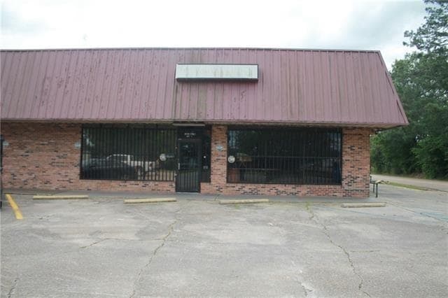
Property Record
800 3Rd St, Kentwood, LA 70444

Property Detail
800 3Rd St
Hammond, LA
UNIT 2 IN LOTS A & B BLK 5 BROOKS SCANLON ADD KENTWOOD B635 P616 B856 P810 B1457 P775 B1544 P250 MAP 633108
06197906
TANGIPAHOA
Commercialnec
Louisiana
B and X Area of moderate flood hazard, usually the area between the limits of the 100-year and 500-year floods.
a,b
2025
1 AC
2025
Louisiana South Area
953300
Other Market Areas
3,960 SF
NEARBY LISTINGS FOR SALE OR LEASE
DEMOGRAPHICS near 800 3Rd St
1 mile
3 mile
5 mile
2025 Total Population
1,883
3,627
5,330
2030 Population
1,964
3,797
5,593
Pop Growth 2025-2030
+ 4.30%
+ 4.69%
+ 4.93%
Average Age
41
40
41
2025 Total Households
770
1,458
2,138
HH Growth 2025-2030
+ 4.42%
+ 4.87%
+ 5.10%
Median Household Inc
$33,519
$40,064
$43,214
Avg Household Size
2.50
2.50
2.50
2025 Avg HH Vehicles
2.00
2.00
2.00
Median Home Value
$115,312
$156,086
$180,670
Median Year Built
1975
1979
1983
Nearby Places
Map Layers
Map Styles
 Street
 Aerial
Layers
 Traffic
 Biking
Places
Listings with unknown addresses are not visible on the map
- Restaurants
- Banks
- Shops
- Fitness
- Groceries
SALE & LEASE HISTORY
LISTING DATE
SALE/LEASE

Dec 31, 2024
For Sale
Nearby Properties
Address
Land Use
TOTAL SIZE
Lot Size
Zoning
Address
Land Use
TOTAL SIZE
Lot Size
Zoning
12,000 SF
5.10 AC
Address
Land Use
TOTAL SIZE
Lot Size
Zoning
71,116 SF
7 AC
Address
Land Use
TOTAL SIZE
Lot Size
Zoning
12,000 SF
3.42 AC
Address
Land Use
TOTAL SIZE
Lot Size
Zoning
4,981 SF
3.38 AC
Address
Land Use
TOTAL SIZE
Lot Size
Zoning
33,319 SF
5.03 AC
Address
Land Use
TOTAL SIZE
Lot Size
Zoning
Address
Land Use
TOTAL SIZE
Lot Size
Zoning
8,150 SF
1.04 AC
Address
Land Use
TOTAL SIZE
Lot Size
Zoning
127,488 SF
18.53 AC
Address
Land Use
TOTAL SIZE
Lot Size
Zoning
22,104 SF
3 AC
Address
Land Use
TOTAL SIZE
Lot Size
Zoning
6,935 SF
2.88 AC
Address
Land Use
TOTAL SIZE
Lot Size
Zoning
10,080 SF
2.15 AC
Address
Land Use
TOTAL SIZE
Lot Size
Zoning
7,836 SF
2.34 AC
Address
Land Use
TOTAL SIZE
Lot Size
Zoning
Address
Land Use
TOTAL SIZE
Lot Size
Zoning
Address
Land Use
TOTAL SIZE
Lot Size
Zoning
12 AC
Address
Land Use
TOTAL SIZE
Lot Size
Zoning
12,205 SF
2 AC
Address
Land Use
TOTAL SIZE
Lot Size
Zoning
Address
Land Use
TOTAL SIZE
Lot Size
Zoning
3,610 SF
0.73 AC
Address
Land Use
TOTAL SIZE
Lot Size
Zoning
8,052 SF
2.50 AC
Address
Land Use
TOTAL SIZE
Lot Size
Zoning
Address
Land Use
TOTAL SIZE
Lot Size
Zoning
1,537 SF
0.42 AC
Address
Land Use
TOTAL SIZE
Lot Size
Zoning
Address
Land Use
TOTAL SIZE
Lot Size
Zoning
8,000 SF
2 AC
Address
Land Use
TOTAL SIZE
Lot Size
Zoning
11,250 SF
7.40 AC
Address
Land Use
TOTAL SIZE
Lot Size
Zoning
15,260 SF
1.95 AC
Address
Land Use
TOTAL SIZE
Lot Size
Zoning
7,735 SF
4 AC
Address
Land Use
TOTAL SIZE
Lot Size
Zoning
3,600 SF
3 AC
Address
Land Use
TOTAL SIZE
Lot Size
Zoning
7,052 SF
2 AC
Address
Land Use
TOTAL SIZE
Lot Size
Zoning
10,640 SF
6 AC
Address
Land Use
TOTAL SIZE
Lot Size
Zoning
3,444 SF
2 AC
The World's #1 Commercial Real Estate Marketplace
Connect with us
© 2026 CoStar Group
The information above has been obtained from sources believed reliable. While we do not doubt its accuracy we have not verified it and make no guarantee, warranty or representation about it. It is your responsibility to independently confirm its accuracy and completeness. Any projections, opinions, assumptions, or estimates used are for example only and do not represent the current or future performance of the property. The value of this transaction to you depends on tax and other factors which should be evaluated by your tax, financial, and legal advisors. You and your advisors should conduct a careful, independent investigation of the property to determine to your satisfaction the suitability of the property for your needs.