Property Record
800 Elm St, Milford, NH 03055


NEARBY LISTINGS FOR SALE OR LEASE
-
-
View all Milford listings for sale on LoopNet.com
Property Detail
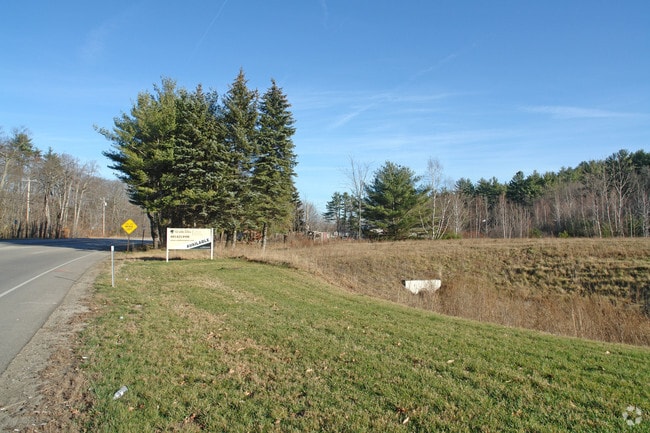
800 Elm St
Gasolinefuelbulkstorage
Hillsborough
X
New Hampshire
33011C0454D
2.12 AC
2024
Hillsborough
2024
Boston
016204
Manchester-Nashua, NH
2,992 SF
MFRD-000011-000000-000012
DEMOGRAPHICS near 800 Elm St
1 Mile
3 Mile
5 Mile
2024 Total Population
1,208
8,721
24,441
2029 Population
1,210
8,845
24,858
Pop Growth 2024-2029
+ 0.17%
+ 1.42%
+ 1.71%
Average Age
41
41
42
2024 Total Households
475
3,330
9,833
HH Growth 2024-2029
0.00%
+ 1.35%
+ 1.70%
Median Household Inc
$101,833
$109,508
$100,500
Avg Household Size
2.50
2.60
2.40
2024 Avg HH Vehicles
2.00
2.00
2.00
Median Home Value
$344,117
$352,160
$363,960
Median Year Built
1961
1980
1981
Nearby Places
Map Layers
Map Styles
 Street
 Aerial
- Restaurants
- Banks
- Shops
- Fitness
- Groceries
PUBLIC TRANSPORTATION
AIRPORT
Manchester Boston Regional
DRIVE
WALK
Distance
Manchester Boston Regional
41 min
22.8 mi
Freight Ports
Port of Boston
DRIVE
WALK
Distance
Port of Boston
93 min
63.7 mi
Nearby Properties
Address
Land Use
TOTAL SIZE
Lot Size
Zoning
Address
Land Use
TOTAL SIZE
Lot Size
Zoning
109,431 SF
44.60 AC
R
Address
Land Use
TOTAL SIZE
Lot Size
Zoning
2,124 SF
4.80 AC
C
Address
Land Use
TOTAL SIZE
Lot Size
Zoning
120,466 SF
12.26 AC
I
Address
Land Use
TOTAL SIZE
Lot Size
Zoning
253,350 SF
13.29 AC
I
Address
Land Use
TOTAL SIZE
Lot Size
Zoning
87,438 SF
55.60 AC
SZ
Address
Land Use
TOTAL SIZE
Lot Size
Zoning
52,410 SF
13.57 AC
I
Address
Land Use
TOTAL SIZE
Lot Size
Zoning
6,954 SF
11 AC
A
Address
Land Use
TOTAL SIZE
Lot Size
Zoning
1,792 SF
20 AC
R
Address
Land Use
TOTAL SIZE
Lot Size
Zoning
59,860 SF
6.22 AC
ICI
Address
Land Use
TOTAL SIZE
Lot Size
Zoning
0.54 AC
R
Address
Land Use
TOTAL SIZE
Lot Size
Zoning
89,199 SF
22.80 AC
C
Address
Land Use
TOTAL SIZE
Lot Size
Zoning
54,360 SF
6.58 AC
I
Address
Land Use
TOTAL SIZE
Lot Size
Zoning
127,722 SF
23.87 AC
I
Address
Land Use
TOTAL SIZE
Lot Size
Zoning
46.81 AC
RA
Address
Land Use
TOTAL SIZE
Lot Size
Zoning
26,595 SF
2.48 AC
A
Address
Land Use
TOTAL SIZE
Lot Size
Zoning
45,690 SF
5.50 AC
Address
Land Use
TOTAL SIZE
Lot Size
Zoning
37,157 SF
1.60 AC
RA
Address
Land Use
TOTAL SIZE
Lot Size
Zoning
74.45 AC
RA
Address
Land Use
TOTAL SIZE
Lot Size
Zoning
47,587 SF
12.53 AC
ICI2
Address
Land Use
TOTAL SIZE
Lot Size
Zoning
6,000 SF
6.38 AC
ICI
Address
Land Use
TOTAL SIZE
Lot Size
Zoning
112,299 SF
3.50 AC
I
Address
Land Use
TOTAL SIZE
Lot Size
Zoning
37,300 SF
5.23 AC
I
Address
Land Use
TOTAL SIZE
Lot Size
Zoning
10.10 AC
I
Address
Land Use
TOTAL SIZE
Lot Size
Zoning
29,404 SF
1.40 AC
I
Address
Land Use
TOTAL SIZE
Lot Size
Zoning
34,104 SF
2.33 AC
I
Address
Land Use
TOTAL SIZE
Lot Size
Zoning
22,074 SF
2.80 AC
C
Address
Land Use
TOTAL SIZE
Lot Size
Zoning
29,106 SF
6.71 AC
I
Address
Land Use
TOTAL SIZE
Lot Size
Zoning
3,300 SF
11.90 AC
ICI2
Address
Land Use
TOTAL SIZE
Lot Size
Zoning
36,481 SF
3.12 AC
C
Address
Land Use
TOTAL SIZE
Lot Size
Zoning
22,144 SF
3.15 AC
ICI
The World's #1 Commercial Real Estate Marketplace
Connect with us
© 2025 CoStar Group
The information above has been obtained from sources believed reliable. While we do not doubt its accuracy we have not verified it and make no guarantee, warranty or representation about it. It is your responsibility to independently confirm its accuracy and completeness. Any projections, opinions, assumptions, or estimates used are for example only and do not represent the current or future performance of the property. The value of this transaction to you depends on tax and other factors which should be evaluated by your tax, financial, and legal advisors. You and your advisors should conduct a careful, independent investigation of the property to determine to your satisfaction the suitability of the property for your needs.