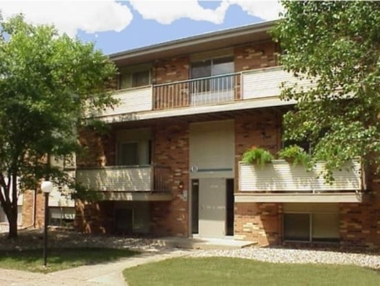
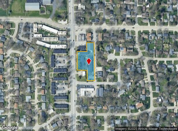
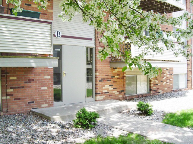
Property Record
800 S Mattis Ave, Champaign, IL 61821
NEARBY LISTINGS FOR SALE OR LEASE
Property Detail
800 S Mattis Ave
Champaign-Urbana, IL
Ridge Park Replat
43-20-14-151-023
LOT 1 RIDGE PARK REPLAT LT 2-4, PT 5
Commercialnec
Champaign
X
Illinois
17019C0407D
1,2-4
2023
1 AC
2024
Champaign-Urbana
001100
Other Market Areas
DEMOGRAPHICS near 800 S Mattis Ave
1 Mile
3 Mile
5 Mile
2024 Total Population
12,261
96,576
140,286
2029 Population
12,120
96,828
140,571
Pop Growth 2024-2029
(1.15%)
+ 0.26%
+ 0.20%
Average Age
39
34
35
2024 Total Households
5,544
39,175
58,548
HH Growth 2024-2029
(1.30%)
+ 0.32%
+ 0.24%
Median Household Inc
$64,502
$50,361
$50,949
Avg Household Size
2.10
2.10
2.10
2024 Avg HH Vehicles
1.00
1.00
1.00
Median Home Value
$167,351
$186,848
$185,491
Median Year Built
1964
1982
1983
Nearby Places
Map Layers
Map Styles
 Street
 Aerial
- Restaurants
- Banks
- Shops
- Fitness
- Groceries
PUBLIC TRANSPORTATION
COMMUTER RAIL
Champaign-Urbana (City of New Orleans - Amtrak, Illini - Amtrak, Saluki - Amtrak)
DRIVE
WALK
Distance
Champaign-Urbana (City of New Orleans - Amtrak, Illini - Amtrak, Saluki - Amtrak)
6 min
2.6 mi
AIRPORT
University of Illinois/Willard
DRIVE
WALK
Distance
University of Illinois/Willard
19 min
6.5 mi
Freight Ports
Port Milwaukee
DRIVE
WALK
Distance
Port Milwaukee
259 min
222.5 mi
Nearby Properties
Address
Land Use
TOTAL SIZE
Lot Size
Zoning
Address
Land Use
TOTAL SIZE
Lot Size
Zoning
10.70 AC
Address
Land Use
TOTAL SIZE
Lot Size
Zoning
20.22 AC
Address
Land Use
TOTAL SIZE
Lot Size
Zoning
32.35 AC
Address
Land Use
TOTAL SIZE
Lot Size
Zoning
Address
Land Use
TOTAL SIZE
Lot Size
Zoning
0.82 AC
Address
Land Use
TOTAL SIZE
Lot Size
Zoning
8.78 AC
Address
Land Use
TOTAL SIZE
Lot Size
Zoning
Address
Land Use
TOTAL SIZE
Lot Size
Zoning
Address
Land Use
TOTAL SIZE
Lot Size
Zoning
1.31 AC
Address
Land Use
TOTAL SIZE
Lot Size
Zoning
0.18 AC
Address
Land Use
TOTAL SIZE
Lot Size
Zoning
Address
Land Use
TOTAL SIZE
Lot Size
Zoning
Address
Land Use
TOTAL SIZE
Lot Size
Zoning
0.75 AC
Address
Land Use
TOTAL SIZE
Lot Size
Zoning
2.35 AC
Address
Land Use
TOTAL SIZE
Lot Size
Zoning
0.20 AC
Address
Land Use
TOTAL SIZE
Lot Size
Zoning
0.81 AC
Address
Land Use
TOTAL SIZE
Lot Size
Zoning
1.85 AC
Address
Land Use
TOTAL SIZE
Lot Size
Zoning
0.70 AC
Address
Land Use
TOTAL SIZE
Lot Size
Zoning
Address
Land Use
TOTAL SIZE
Lot Size
Zoning
0.22 AC
Address
Land Use
TOTAL SIZE
Lot Size
Zoning
2.01 AC
Address
Land Use
TOTAL SIZE
Lot Size
Zoning
Address
Land Use
TOTAL SIZE
Lot Size
Zoning
19.40 AC
Address
Land Use
TOTAL SIZE
Lot Size
Zoning
Address
Land Use
TOTAL SIZE
Lot Size
Zoning
Address
Land Use
TOTAL SIZE
Lot Size
Zoning
0.18 AC
Address
Land Use
TOTAL SIZE
Lot Size
Zoning
23.33 AC
Address
Land Use
TOTAL SIZE
Lot Size
Zoning
Address
Land Use
TOTAL SIZE
Lot Size
Zoning
0.39 AC
Address
Land Use
TOTAL SIZE
Lot Size
Zoning
0.74 AC
The World's #1 Commercial Real Estate Marketplace
Connect with us
© 2026 CoStar Group
The information above has been obtained from sources believed reliable. While we do not doubt its accuracy we have not verified it and make no guarantee, warranty or representation about it. It is your responsibility to independently confirm its accuracy and completeness. Any projections, opinions, assumptions, or estimates used are for example only and do not represent the current or future performance of the property. The value of this transaction to you depends on tax and other factors which should be evaluated by your tax, financial, and legal advisors. You and your advisors should conduct a careful, independent investigation of the property to determine to your satisfaction the suitability of the property for your needs.