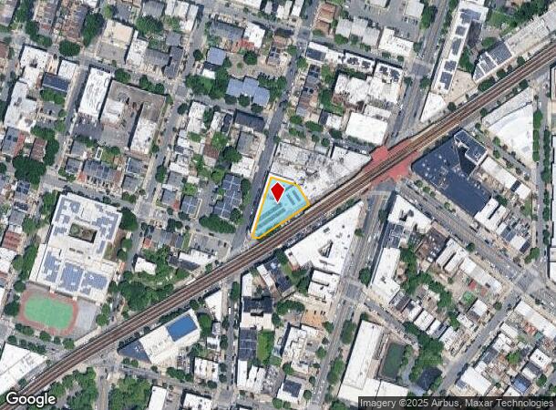
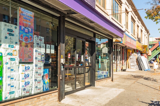
Property Record
811 Westchester Ave, Bronx, NY 10455
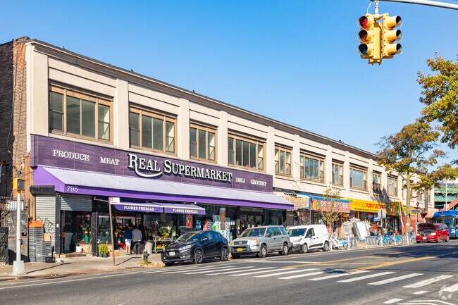
This Property Is For Sale
NEARBY LISTINGS FOR SALE OR LEASE
Property Detail
811 Westchester Ave
02666-0041
Bronx
Officebuilding
New York
X
41
3604970084F
0.42 AC
2024
Bronx
2025
Westchester/So Connecticut
007700
New York-Jersey City-White Plains, NY-NJ
72,760 SF
DEMOGRAPHICS near 811 Westchester Ave
1 Mile
3 Mile
5 Mile
2024 Total Population
173,746
1,192,294
2,527,896
2029 Population
162,287
1,106,206
2,347,706
Pop Growth 2024-2029
(6.60%)
(7.22%)
(7.13%)
Average Age
36
38
40
2024 Total Households
59,757
432,978
986,680
HH Growth 2024-2029
(7.37%)
(7.79%)
(7.52%)
Median Household Inc
$30,967
$39,475
$56,717
Avg Household Size
2.70
2.60
2.40
2024 Avg HH Vehicles
.00
.00
.00
Median Home Value
$411,741
$568,579
$720,336
Median Year Built
1970
1952
1951
Nearby Places
Map Layers
Map Styles
 Street
 Aerial
- Restaurants
- Banks
- Shops
- Fitness
- Groceries
PUBLIC TRANSPORTATION
TRANSIT/SUBWAY
Prospect Avenue (2,5 Line) (2 - New York MTA Subway (The Subway), 5 - New York MTA Subway (The Subway))
DRIVE
WALK
Distance
Prospect Avenue (2,5 Line) (2 - New York MTA Subway (The Subway), 5 - New York MTA Subway (The Subway))
0 min
1 min
0.1 mi
Jackson Avenue (2 - New York MTA Subway (The Subway), 5 - New York MTA Subway (The Subway))
DRIVE
WALK
Distance
Jackson Avenue (2 - New York MTA Subway (The Subway), 5 - New York MTA Subway (The Subway))
1 min
7 min
0.4 mi
Intervale Avenue (2 - New York MTA Subway (The Subway), 5 - New York MTA Subway (The Subway))
DRIVE
WALK
Distance
Intervale Avenue (2 - New York MTA Subway (The Subway), 5 - New York MTA Subway (The Subway))
1 min
7 min
0.4 mi
Longwood Avenue (6 - New York MTA Subway (The Subway))
DRIVE
WALK
Distance
Longwood Avenue (6 - New York MTA Subway (The Subway))
1 min
9 min
0.4 mi
East 149 Street (6 - New York MTA Subway (The Subway))
DRIVE
WALK
Distance
East 149 Street (6 - New York MTA Subway (The Subway))
2 min
11 min
0.6 mi
COMMUTER RAIL
Melrose Station (Harlem Line - Metro-North Commuter Railroad Company (Metro-North))
DRIVE
WALK
Distance
Melrose Station (Harlem Line - Metro-North Commuter Railroad Company (Metro-North))
5 min
20 min
1.0 mi
Tremont Station (Harlem Line - Metro-North Commuter Railroad Company (Metro-North))
DRIVE
WALK
Distance
Tremont Station (Harlem Line - Metro-North Commuter Railroad Company (Metro-North))
7 min
2.3 mi
AIRPORT
LaGuardia
DRIVE
WALK
Distance
LaGuardia
16 min
6.9 mi
John F Kennedy International
DRIVE
WALK
Distance
John F Kennedy International
28 min
18.6 mi
Newark Liberty International
DRIVE
WALK
Distance
Newark Liberty International
32 min
24.2 mi
Freight Ports
NY - Red Hook Container Terminal
DRIVE
WALK
Distance
NY - Red Hook Container Terminal
28 min
15.1 mi
Nearby Properties
Address
Land Use
TOTAL SIZE
Lot Size
Zoning
Address
Land Use
TOTAL SIZE
Lot Size
Zoning
5,519,372 SF
409.21 AC
C8-2
Address
Land Use
TOTAL SIZE
Lot Size
Zoning
3,693,539 SF
8.37 AC
R8
Address
Land Use
TOTAL SIZE
Lot Size
Zoning
400,160 SF
10.96 AC
R7-2
Address
Land Use
TOTAL SIZE
Lot Size
Zoning
1,743,584 SF
77.87 AC
R6
Address
Land Use
TOTAL SIZE
Lot Size
Zoning
2,278,432 SF
5.99 AC
R7-2
Address
Land Use
TOTAL SIZE
Lot Size
Zoning
873,000 SF
9.95 AC
R7-2
Address
Land Use
TOTAL SIZE
Lot Size
Zoning
1,670,868 SF
9.14 AC
R8
Address
Land Use
TOTAL SIZE
Lot Size
Zoning
1,651,267 SF
1.23 AC
R8
Address
Land Use
TOTAL SIZE
Lot Size
Zoning
478,842 SF
3.56 AC
C6-1
Address
Land Use
TOTAL SIZE
Lot Size
Zoning
891,040 SF
5.63 AC
R8
Address
Land Use
TOTAL SIZE
Lot Size
Zoning
0.36 AC
R8
Address
Land Use
TOTAL SIZE
Lot Size
Zoning
1,311,800 SF
9.89 AC
C4-4
Address
Land Use
TOTAL SIZE
Lot Size
Zoning
23.12 AC
PARK
Address
Land Use
TOTAL SIZE
Lot Size
Zoning
207.09 AC
PARK
Address
Land Use
TOTAL SIZE
Lot Size
Zoning
1,012,000 SF
7.79 AC
R6
Address
Land Use
TOTAL SIZE
Lot Size
Zoning
1,390,324 SF
6.87 AC
R8
Address
Land Use
TOTAL SIZE
Lot Size
Zoning
807,327 SF
0.60 AC
R8
Address
Land Use
TOTAL SIZE
Lot Size
Zoning
507,265 SF
4.04 AC
C4-4
Address
Land Use
TOTAL SIZE
Lot Size
Zoning
892,550 SF
2.93 AC
M13R8
Address
Land Use
TOTAL SIZE
Lot Size
Zoning
948 SF
282.37 AC
PARK
Address
Land Use
TOTAL SIZE
Lot Size
Zoning
2,531,670 SF
17.15 AC
R7-2
Address
Land Use
TOTAL SIZE
Lot Size
Zoning
390,750 SF
265 AC
PARK
Address
Land Use
TOTAL SIZE
Lot Size
Zoning
517,876 SF
1.83 AC
C6-1
Address
Land Use
TOTAL SIZE
Lot Size
Zoning
317,485 SF
1.57 AC
R8
Address
Land Use
TOTAL SIZE
Lot Size
Zoning
620,000 SF
3.31 AC
R7-2
Address
Land Use
TOTAL SIZE
Lot Size
Zoning
631,237 SF
30.93 AC
R5
Address
Land Use
TOTAL SIZE
Lot Size
Zoning
480,769 SF
1.21 AC
R8
Address
Land Use
TOTAL SIZE
Lot Size
Zoning
276,285 SF
1.26 AC
R7-2
Address
Land Use
TOTAL SIZE
Lot Size
Zoning
130,228 SF
0.59 AC
R8
Address
Land Use
TOTAL SIZE
Lot Size
Zoning
1,392,950 SF
19.67 AC
M2-1
The World's #1 Commercial Real Estate Marketplace
Connect with us
© 2025 CoStar Group
The information above has been obtained from sources believed reliable. While we do not doubt its accuracy we have not verified it and make no guarantee, warranty or representation about it. It is your responsibility to independently confirm its accuracy and completeness. Any projections, opinions, assumptions, or estimates used are for example only and do not represent the current or future performance of the property. The value of this transaction to you depends on tax and other factors which should be evaluated by your tax, financial, and legal advisors. You and your advisors should conduct a careful, independent investigation of the property to determine to your satisfaction the suitability of the property for your needs.