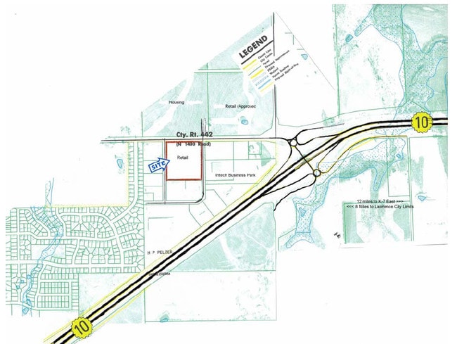
Property Record
801 E 10Th St, Eudora, KS 66025

Property Detail
801 E 10Th St
023-092-09-0-20-03-001.00-0
EUDORA ELEMENTARY SCHOOL LT 1 & TRACTS A,B & C WW35; LESS R/W DEED 1208/318 (R/W 2022)
Publicschool
DOUGLAS
AG
Kansas
AE The base floodplain where base flood elevations are provided. AE Zones are now used on new format FIRMs instead of A1-A30 Zones.
1
0
46.74 AC
2025
Lawrence
001202
Kansas City
140,436 SF
Lawrence, KS
NEARBY LISTINGS FOR SALE OR LEASE
-
-
View all Eudora listings for sale on LoopNet.com
DEMOGRAPHICS near 801 E 10Th St
1 mile
3 mile
5 mile
2025 Total Population
3,279
7,521
9,810
2030 Population
3,368
7,743
10,119
Pop Growth 2025-2030
+ 2.71%
+ 2.95%
+ 3.15%
Average Age
36
38
39
2025 Total Households
1,179
2,709
3,578
HH Growth 2025-2030
+ 2.97%
+ 3.17%
+ 3.35%
Median Household Inc
$101,367
$103,826
$99,180
Avg Household Size
2.80
2.70
2.70
2025 Avg HH Vehicles
2.00
2.00
2.00
Median Home Value
$265,603
$277,887
$300,559
Median Year Built
2001
2000
1997
Nearby Places
Map Layers
Map Styles
 Street
 Aerial
Layers
 Traffic
 Biking
Places
Listings with unknown addresses are not visible on the map
- Restaurants
- Banks
- Shops
- Fitness
- Groceries
Nearby Properties
Address
Land Use
TOTAL SIZE
Lot Size
Zoning
Address
Land Use
TOTAL SIZE
Lot Size
Zoning
118,000 SF
41.08 AC
AG
Address
Land Use
TOTAL SIZE
Lot Size
Zoning
55,400 SF
44.90 AC
I
Address
Land Use
TOTAL SIZE
Lot Size
Zoning
39,052 SF
7.71 AC
R1
Address
Land Use
TOTAL SIZE
Lot Size
Zoning
23,908 SF
4.39 AC
Address
Land Use
TOTAL SIZE
Lot Size
Zoning
11,886 SF
5.80 AC
Address
Land Use
TOTAL SIZE
Lot Size
Zoning
13,200 SF
35.20 AC
AG
Address
Land Use
TOTAL SIZE
Lot Size
Zoning
37.03 AC
RUR
Address
Land Use
TOTAL SIZE
Lot Size
Zoning
12,721 SF
4.29 AC
R1
Address
Land Use
TOTAL SIZE
Lot Size
Zoning
0.62 AC
I1
Address
Land Use
TOTAL SIZE
Lot Size
Zoning
0.26 AC
I1
Address
Land Use
TOTAL SIZE
Lot Size
Zoning
5,536 SF
0.13 AC
Address
Land Use
TOTAL SIZE
Lot Size
Zoning
117,120 SF
21 AC
I
Address
Land Use
TOTAL SIZE
Lot Size
Zoning
15,300 SF
4.72 AC
UPR
Address
Land Use
TOTAL SIZE
Lot Size
Zoning
7,800 SF
2.47 AC
R1
Address
Land Use
TOTAL SIZE
Lot Size
Zoning
16.48 AC
AG
Address
Land Use
TOTAL SIZE
Lot Size
Zoning
6,040 SF
0.47 AC
C1
Address
Land Use
TOTAL SIZE
Lot Size
Zoning
3,306 SF
1.12 AC
R3
Address
Land Use
TOTAL SIZE
Lot Size
Zoning
4,419 SF
0.22 AC
R1
Address
Land Use
TOTAL SIZE
Lot Size
Zoning
7,920 SF
2.50 AC
R1
Address
Land Use
TOTAL SIZE
Lot Size
Zoning
5,000 SF
5 AC
AG
Address
Land Use
TOTAL SIZE
Lot Size
Zoning
18,597 SF
5.67 AC
I
Address
Land Use
TOTAL SIZE
Lot Size
Zoning
3,882 SF
0.44 AC
UPR
Address
Land Use
TOTAL SIZE
Lot Size
Zoning
2,500 SF
7.66 AC
I2
Address
Land Use
TOTAL SIZE
Lot Size
Zoning
4,600 SF
1.52 AC
R1
Address
Land Use
TOTAL SIZE
Lot Size
Zoning
0.66 AC
Address
Land Use
TOTAL SIZE
Lot Size
Zoning
44,856 SF
3.90 AC
R1
Address
Land Use
TOTAL SIZE
Lot Size
Zoning
40,000 SF
5.14 AC
I
Address
Land Use
TOTAL SIZE
Lot Size
Zoning
2,891 SF
2.08 AC
Address
Land Use
TOTAL SIZE
Lot Size
Zoning
8,526 SF
3.31 AC
R3
The World's #1 Commercial Real Estate Marketplace
Connect with us
© 2026 CoStar Group
The information above has been obtained from sources believed reliable. While we do not doubt its accuracy we have not verified it and make no guarantee, warranty or representation about it. It is your responsibility to independently confirm its accuracy and completeness. Any projections, opinions, assumptions, or estimates used are for example only and do not represent the current or future performance of the property. The value of this transaction to you depends on tax and other factors which should be evaluated by your tax, financial, and legal advisors. You and your advisors should conduct a careful, independent investigation of the property to determine to your satisfaction the suitability of the property for your needs.