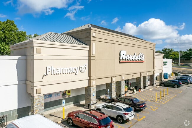
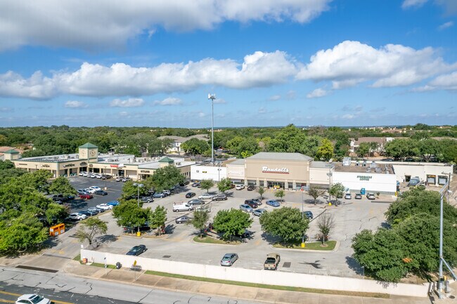
Property Record
8040 Mesa Dr, Austin, TX 78731

Property Detail
8040 Mesa Dr
Austin-Round Rock-San Marcos, TX
LOT 1 SAFEWAY ADDN NO 2
496370
TRAVIS
Supermarket
Texas
B and X Area of moderate flood hazard, usually the area between the limits of the 100-year and 500-year floods.
1
2025
2.39 AC
2025
Northwest
030000
Austin
35,004 SF
NEARBY LISTINGS FOR SALE OR LEASE
DEMOGRAPHICS near 8040 Mesa Dr
1 mile
3 mile
5 mile
2025 Total Population
13,527
94,878
278,005
2030 Population
14,013
98,924
290,648
Pop Growth 2025-2030
+ 3.59%
+ 4.26%
+ 4.55%
Average Age
43
40
39
2025 Total Households
6,524
45,917
126,763
HH Growth 2025-2030
+ 4.34%
+ 5.11%
+ 5.34%
Median Household Inc
$103,750
$96,339
$90,836
Avg Household Size
2.00
2.00
2.10
2025 Avg HH Vehicles
2.00
2.00
2.00
Median Home Value
$839,305
$794,239
$746,814
Median Year Built
1978
1985
1986
Nearby Places
Map Layers
Map Styles
 Street
 Aerial
Layers
 Traffic
 Biking
Places
Listings with unknown addresses are not visible on the map
- Restaurants
- Banks
- Shops
- Fitness
- Groceries
PUBLIC TRANSPORTATION
COMMUTER RAIL
Austin (Texas Eagle - Amtrak)
Drive
Walk
Distance
Austin (Texas Eagle - Amtrak)
14 min
8.5 mi
AIRPORT
Austin-Bergstrom International
Drive
Walk
Distance
Austin-Bergstrom International
34 min
20.6 mi
Freight Ports
Calhoun Port
Drive
Walk
Distance
Calhoun Port
199 min
164.1 mi
SALE & LEASE HISTORY
LISTING DATE
SALE/LEASE

Apr 17, 2019
For Lease
Nearby Properties
Address
Land Use
TOTAL SIZE
Lot Size
Zoning
Address
Land Use
TOTAL SIZE
Lot Size
Zoning
230.30 AC
Address
Land Use
TOTAL SIZE
Lot Size
Zoning
371,269 SF
27.63 AC
Address
Land Use
TOTAL SIZE
Lot Size
Zoning
323,406 SF
2.36 AC
Address
Land Use
TOTAL SIZE
Lot Size
Zoning
456,682 SF
7.34 AC
Address
Land Use
TOTAL SIZE
Lot Size
Zoning
354,008 SF
39.99 AC
Address
Land Use
TOTAL SIZE
Lot Size
Zoning
340,785 SF
1.89 AC
Address
Land Use
TOTAL SIZE
Lot Size
Zoning
340,000 SF
1.54 AC
Address
Land Use
TOTAL SIZE
Lot Size
Zoning
485,130 SF
28.07 AC
Address
Land Use
TOTAL SIZE
Lot Size
Zoning
300,616 SF
3.95 AC
Address
Land Use
TOTAL SIZE
Lot Size
Zoning
172,307 SF
11.95 AC
Address
Land Use
TOTAL SIZE
Lot Size
Zoning
233,091 SF
5.61 AC
Address
Land Use
TOTAL SIZE
Lot Size
Zoning
364,130 SF
42.45 AC
Address
Land Use
TOTAL SIZE
Lot Size
Zoning
314,319 SF
5.97 AC
Address
Land Use
TOTAL SIZE
Lot Size
Zoning
45.78 AC
Address
Land Use
TOTAL SIZE
Lot Size
Zoning
409,082 SF
14.42 AC
Address
Land Use
TOTAL SIZE
Lot Size
Zoning
293,217 SF
22.34 AC
Address
Land Use
TOTAL SIZE
Lot Size
Zoning
365,130 SF
18.15 AC
Address
Land Use
TOTAL SIZE
Lot Size
Zoning
286,276 SF
4.53 AC
Address
Land Use
TOTAL SIZE
Lot Size
Zoning
344,561 SF
41.25 AC
Address
Land Use
TOTAL SIZE
Lot Size
Zoning
354,580 SF
3.77 AC
Address
Land Use
TOTAL SIZE
Lot Size
Zoning
467,647 SF
3.54 AC
Address
Land Use
TOTAL SIZE
Lot Size
Zoning
465,808 SF
9.74 AC
Address
Land Use
TOTAL SIZE
Lot Size
Zoning
332,202 SF
31.81 AC
Address
Land Use
TOTAL SIZE
Lot Size
Zoning
244,809 SF
5.45 AC
Address
Land Use
TOTAL SIZE
Lot Size
Zoning
521,820 SF
4.68 AC
Address
Land Use
TOTAL SIZE
Lot Size
Zoning
267,091 SF
3.90 AC
Address
Land Use
TOTAL SIZE
Lot Size
Zoning
266,900 SF
2.59 AC
Address
Land Use
TOTAL SIZE
Lot Size
Zoning
237,395 SF
2.89 AC
Address
Land Use
TOTAL SIZE
Lot Size
Zoning
1,640 SF
34.17 AC
Address
Land Use
TOTAL SIZE
Lot Size
Zoning
369,126 SF
29.50 AC
The World's #1 Commercial Real Estate Marketplace
Connect with us
© 2026 CoStar Group
The information above has been obtained from sources believed reliable. While we do not doubt its accuracy we have not verified it and make no guarantee, warranty or representation about it. It is your responsibility to independently confirm its accuracy and completeness. Any projections, opinions, assumptions, or estimates used are for example only and do not represent the current or future performance of the property. The value of this transaction to you depends on tax and other factors which should be evaluated by your tax, financial, and legal advisors. You and your advisors should conduct a careful, independent investigation of the property to determine to your satisfaction the suitability of the property for your needs.