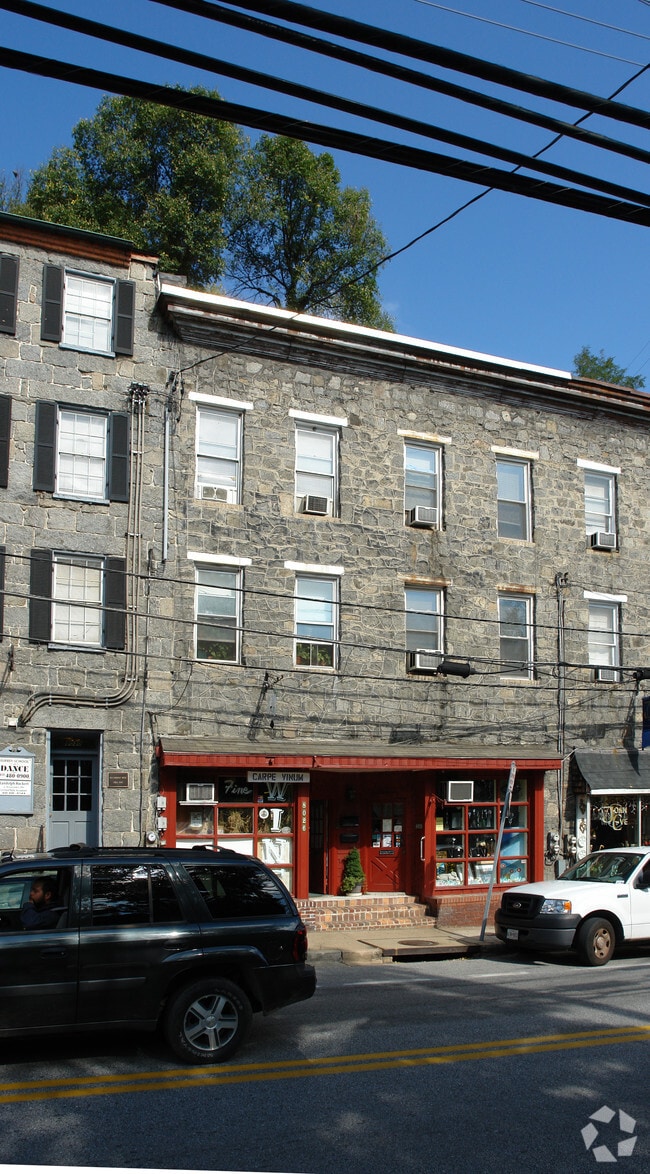
Property Record
8020 Main St, Ellicott City, MD 21043
NEARBY LISTINGS FOR SALE OR LEASE
Property Detail
8020 Main St
02-240521
LOT 16 8020 8022 MAIN ST ELLICOTT CITY
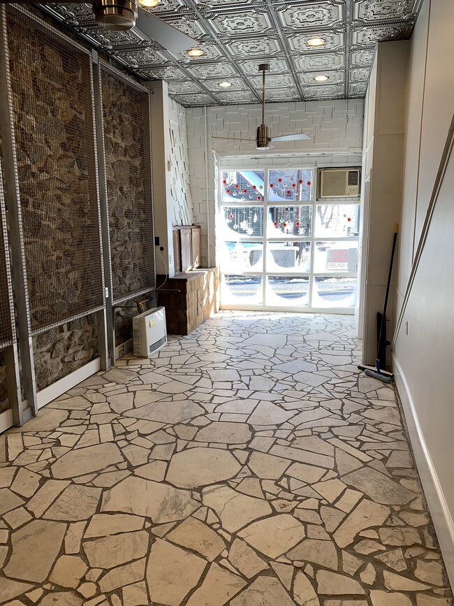
Multifamilydwelling
Howard
AE
Maryland
24013C0450D
16,8022
2024
0.02 AC
2025
Ellicott City
602800
Baltimore
1,140 SF
Baltimore-Columbia-Towson, MD
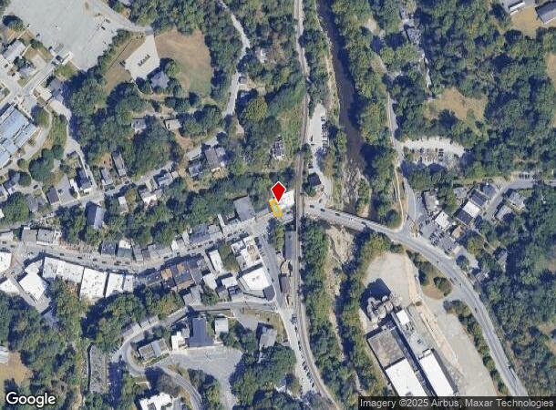
DEMOGRAPHICS near 8020 Main St
1 Mile
3 Mile
5 Mile
2024 Total Population
6,825
74,844
215,994
2029 Population
6,961
75,797
217,802
Pop Growth 2024-2029
+ 1.99%
+ 1.27%
+ 0.84%
Average Age
41
41
40
2024 Total Households
2,551
26,972
79,558
HH Growth 2024-2029
+ 1.76%
+ 1.29%
+ 0.80%
Median Household Inc
$138,461
$127,740
$106,187
Avg Household Size
2.60
2.70
2.60
2024 Avg HH Vehicles
2.00
2.00
2.00
Median Home Value
$485,506
$520,390
$438,063
Median Year Built
1992
1985
1982
Nearby Places
Map Layers
Map Styles
 Street
 Aerial
- Restaurants
- Banks
- Shops
- Fitness
- Groceries
PUBLIC TRANSPORTATION
COMMUTER RAIL
Halethorpe (Penn Line - Maryland Area Regional Commuter Trains (The MARC))
DRIVE
WALK
Distance
Halethorpe (Penn Line - Maryland Area Regional Commuter Trains (The MARC))
14 min
7.5 mi
St Denis (Camden Line - Maryland Area Regional Commuter Trains (The MARC))
DRIVE
WALK
Distance
St Denis (Camden Line - Maryland Area Regional Commuter Trains (The MARC))
15 min
7.9 mi
AIRPORT
Baltimore/Washington International Thurgood Marshall
DRIVE
WALK
Distance
Baltimore/Washington International Thurgood Marshall
18 min
10.8 mi
Freight Ports
Port of Baltimore
DRIVE
WALK
Distance
Port of Baltimore
1 min
10.5 mi
SALE & LEASE HISTORY
LISTING DATE
SALE/LEASE

Apr 21, 2019
For Lease
Nearby Properties
Address
Land Use
TOTAL SIZE
Lot Size
Zoning
Address
Land Use
TOTAL SIZE
Lot Size
Zoning
33,342 SF
94.97 AC
RA15
Address
Land Use
TOTAL SIZE
Lot Size
Zoning
233,265 SF
28.95 AC
NT
Address
Land Use
TOTAL SIZE
Lot Size
Zoning
1,930 SF
49.68 AC
PSC
Address
Land Use
TOTAL SIZE
Lot Size
Zoning
48,414 SF
19.18 AC
RA15
Address
Land Use
TOTAL SIZE
Lot Size
Zoning
31,590 SF
18.89 AC
RA15
Address
Land Use
TOTAL SIZE
Lot Size
Zoning
14,040 SF
10.86 AC
RA15
Address
Land Use
TOTAL SIZE
Lot Size
Zoning
36,399 SF
25.30 AC
RA15
Address
Land Use
TOTAL SIZE
Lot Size
Zoning
48,168 SF
14.91 AC
RA15
Address
Land Use
TOTAL SIZE
Lot Size
Zoning
237,128 SF
24.77 AC
B2
Address
Land Use
TOTAL SIZE
Lot Size
Zoning
204,875 SF
5.81 AC
POR
Address
Land Use
TOTAL SIZE
Lot Size
Zoning
132,865 SF
27.08 AC
SC
Address
Land Use
TOTAL SIZE
Lot Size
Zoning
118,460 SF
17.85 AC
O2
Address
Land Use
TOTAL SIZE
Lot Size
Zoning
23,962 SF
17.31 AC
BRCS2
Address
Land Use
TOTAL SIZE
Lot Size
Zoning
165,860 SF
3.35 AC
BLCCC
Address
Land Use
TOTAL SIZE
Lot Size
Zoning
23.78 AC
DR5.5
Address
Land Use
TOTAL SIZE
Lot Size
Zoning
129,423 SF
38.77 AC
DR5.5
Address
Land Use
TOTAL SIZE
Lot Size
Zoning
2,960 SF
18.72 AC
DR3.5
Address
Land Use
TOTAL SIZE
Lot Size
Zoning
117,444 SF
19.97 AC
POR
Address
Land Use
TOTAL SIZE
Lot Size
Zoning
91,716 SF
15.07 AC
POR
Address
Land Use
TOTAL SIZE
Lot Size
Zoning
14,838 SF
14.40 AC
RA15
Address
Land Use
TOTAL SIZE
Lot Size
Zoning
11.01 AC
DR16
Address
Land Use
TOTAL SIZE
Lot Size
Zoning
117,518 SF
22.27 AC
RSC
Address
Land Use
TOTAL SIZE
Lot Size
Zoning
41,286 SF
12.62 AC
RA15
Address
Land Use
TOTAL SIZE
Lot Size
Zoning
23,932 SF
11.34 AC
RA15
Address
Land Use
TOTAL SIZE
Lot Size
Zoning
40,850 SF
8.43 AC
B2
Address
Land Use
TOTAL SIZE
Lot Size
Zoning
92,017 SF
16.22 AC
R 20
Address
Land Use
TOTAL SIZE
Lot Size
Zoning
66,350 SF
15.88 AC
R20
Address
Land Use
TOTAL SIZE
Lot Size
Zoning
42,075 SF
15.44 AC
R20
Address
Land Use
TOTAL SIZE
Lot Size
Zoning
103,650 SF
9.61 AC
SC
Address
Land Use
TOTAL SIZE
Lot Size
Zoning
118,125 SF
1.59 AC
M1
The World's #1 Commercial Real Estate Marketplace
Connect with us
© 2025 CoStar Group
The information above has been obtained from sources believed reliable. While we do not doubt its accuracy we have not verified it and make no guarantee, warranty or representation about it. It is your responsibility to independently confirm its accuracy and completeness. Any projections, opinions, assumptions, or estimates used are for example only and do not represent the current or future performance of the property. The value of this transaction to you depends on tax and other factors which should be evaluated by your tax, financial, and legal advisors. You and your advisors should conduct a careful, independent investigation of the property to determine to your satisfaction the suitability of the property for your needs.