Property Record
808 E Baker St, Plant City, FL 33563

Save to a Folder
{{folder.Name}}
{{folder.ListingIds.length}} Properties
{{folder.ListingIds.length}} Property
Create a New Folder
This Property Is For Sale
Property Detail
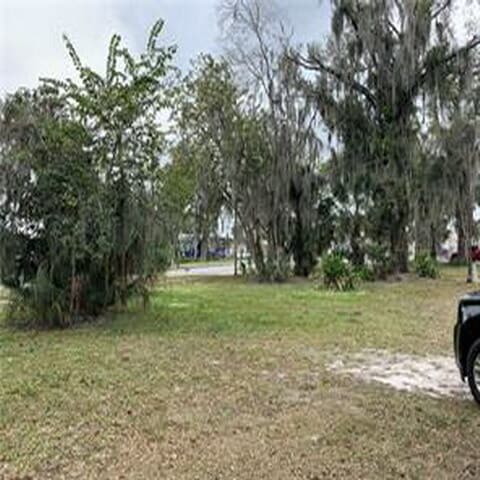
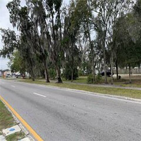
808 E Baker St
P-28-28-22-5BO-000005-00011.0
WIGGINS SUBDIVISION LOT 11 AND S 1/2 OF CLOSED ALLEY ABUTTING ON N AND LOT 12 AND E 1/2 OF CLOSED ALLEY ABUTTING ON W AND S 1/2 OF CLOSED ALLEY ABUTTING ON N BLOCK 5
Residentialacreage
Hillsborough
C-2
Florida
AE The base floodplain where base flood elevations are provided. AE Zones are now used on new format FIRMs instead of A1-A30 Zones.
11
2024
0.41 AC
2025
Eastern Outlying
012800
Tampa/St Petersburg
2,180 SF
Tampa-St. Petersburg-Clearwater, FL
NEARBY LISTINGS FOR SALE OR LEASE
DEMOGRAPHICS near 808 E Baker St
1 mile
3 mile
5 mile
2025 Total Population
11,969
42,583
76,179
2030 Population
13,067
46,327
82,979
Pop Growth 2025-2030
+ 9.17%
+ 8.79%
+ 8.93%
Average Age
38
39
39
2025 Total Households
4,176
15,448
26,765
HH Growth 2025-2030
+ 9.65%
+ 9.06%
+ 9.20%
Median Household Inc
$56,624
$60,652
$68,278
Avg Household Size
2.80
2.70
2.70
2025 Avg HH Vehicles
2.00
2.00
2.00
Median Home Value
$264,314
$278,805
$330,472
Median Year Built
1977
1987
1991
Nearby Places
Map Layers
Map Styles
 Street
 Aerial
Layers
 Traffic
 Biking
Places
Listings with unknown addresses are not visible on the map
- Restaurants
- Banks
- Shops
- Fitness
- Groceries
PUBLIC TRANSPORTATION
AIRPORT
Tampa International
Drive
Walk
Distance
Tampa International
41 min
30.4 mi
St Pete-Clearwater International
Drive
Walk
Distance
St Pete-Clearwater International
52 min
38.9 mi
Freight Ports
Port of Tampa Bay
Drive
Walk
Distance
Port of Tampa Bay
34 min
23.8 mi
Nearby Properties
Address
Land Use
TOTAL SIZE
Lot Size
Zoning
Address
Land Use
TOTAL SIZE
Lot Size
Zoning
438,587 SF
50.87 AC
PD
Address
Land Use
TOTAL SIZE
Lot Size
Zoning
1,055,503 SF
97.03 AC
PD
Address
Land Use
TOTAL SIZE
Lot Size
Zoning
519,942 SF
130.03 AC
PD
Address
Land Use
TOTAL SIZE
Lot Size
Zoning
723,962 SF
47.49 AC
PD
Address
Land Use
TOTAL SIZE
Lot Size
Zoning
286,824 SF
43.15 AC
PD
Address
Land Use
TOTAL SIZE
Lot Size
Zoning
505,506 SF
50.60 AC
PD
Address
Land Use
TOTAL SIZE
Lot Size
Zoning
605,109 SF
141.96 AC
PD
Address
Land Use
TOTAL SIZE
Lot Size
Zoning
295,304 SF
20.16 AC
PD
Address
Land Use
TOTAL SIZE
Lot Size
Zoning
235,102 SF
7.73 AC
C-1B
Address
Land Use
TOTAL SIZE
Lot Size
Zoning
415,389 SF
62.31 AC
PD
Address
Land Use
TOTAL SIZE
Lot Size
Zoning
243,294 SF
19.80 AC
CC
Address
Land Use
TOTAL SIZE
Lot Size
Zoning
333,718 SF
28.99 AC
M-1
Address
Land Use
TOTAL SIZE
Lot Size
Zoning
492,180 SF
32.61 AC
PD
Address
Land Use
TOTAL SIZE
Lot Size
Zoning
296,496 SF
77.52 AC
R-1A
Address
Land Use
TOTAL SIZE
Lot Size
Zoning
496,217 SF
34.98 AC
M-AP
Address
Land Use
TOTAL SIZE
Lot Size
Zoning
93,924 SF
3.96 AC
C-1
Address
Land Use
TOTAL SIZE
Lot Size
Zoning
213,188 SF
16.10 AC
PD
Address
Land Use
TOTAL SIZE
Lot Size
Zoning
192,911 SF
16.36 AC
PD
Address
Land Use
TOTAL SIZE
Lot Size
Zoning
152,518 SF
43.50 AC
C-1A
Address
Land Use
TOTAL SIZE
Lot Size
Zoning
35,426 SF
39.92 AC
R-1A
Address
Land Use
TOTAL SIZE
Lot Size
Zoning
145,222 SF
36.47 AC
PD
Address
Land Use
TOTAL SIZE
Lot Size
Zoning
247,608 SF
25.84 AC
PD
Address
Land Use
TOTAL SIZE
Lot Size
Zoning
177,038 SF
16.95 AC
PD
Address
Land Use
TOTAL SIZE
Lot Size
Zoning
202,712 SF
28.41 AC
PD
Address
Land Use
TOTAL SIZE
Lot Size
Zoning
122,814 SF
17.18 AC
M-1A
Address
Land Use
TOTAL SIZE
Lot Size
Zoning
154,237 SF
17.92 AC
PD
Address
Land Use
TOTAL SIZE
Lot Size
Zoning
132,285 SF
30.77 AC
PD
Address
Land Use
TOTAL SIZE
Lot Size
Zoning
252,166 SF
22.88 AC
M-1
Address
Land Use
TOTAL SIZE
Lot Size
Zoning
169,563 SF
12.27 AC
PD
Address
Land Use
TOTAL SIZE
Lot Size
Zoning
122,234 SF
191.41 AC
M-AP
The World's #1 Commercial Real Estate Marketplace
Connect with us
© 2026 CoStar Group
The information above has been obtained from sources believed reliable. While we do not doubt its accuracy we have not verified it and make no guarantee, warranty or representation about it. It is your responsibility to independently confirm its accuracy and completeness. Any projections, opinions, assumptions, or estimates used are for example only and do not represent the current or future performance of the property. The value of this transaction to you depends on tax and other factors which should be evaluated by your tax, financial, and legal advisors. You and your advisors should conduct a careful, independent investigation of the property to determine to your satisfaction the suitability of the property for your needs.