Property Record
8080 Crain Hwy, La Plata, MD 20646

Save to a Folder
{{folder.Name}}
{{folder.ListingIds.length}} Properties
{{folder.ListingIds.length}} Property
Create a New Folder
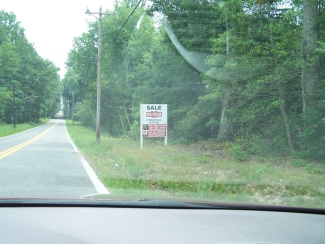
This Property Is For Sale
Property Detail
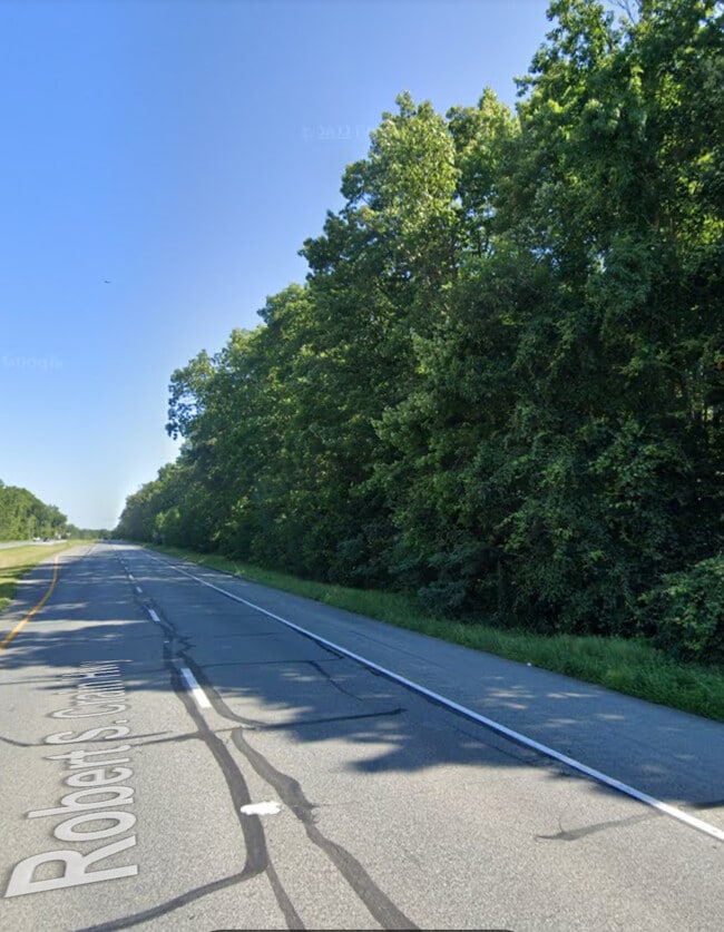
8080 Crain Hwy
01-021028
5.50 AC E/S RT 301 & OLD RT 3
Commercialnec
CHARLES
CC/RC
Maryland
B and X Area of moderate flood hazard, usually the area between the limits of the 100-year and 500-year floods.
5.50 AC
2025
Charles County
2025
Washington, DC
851001
Washington-Arlington-Alexandria, DC-VA-MD-WV
NEARBY LISTINGS FOR SALE OR LEASE
DEMOGRAPHICS near 8080 Crain Hwy
1 mile
3 mile
5 mile
2025 Total Population
384
9,928
21,960
2030 Population
395
10,345
22,995
Pop Growth 2025-2030
+ 2.86%
+ 4.20%
+ 4.71%
Average Age
44
42
42
2025 Total Households
140
3,597
7,957
HH Growth 2025-2030
+ 2.86%
+ 4.42%
+ 4.95%
Median Household Inc
$146,428
$118,197
$113,625
Avg Household Size
2.80
2.70
2.70
2025 Avg HH Vehicles
3.00
2.00
2.00
Median Home Value
$491,666
$444,053
$443,545
Median Year Built
1979
1987
1990
Nearby Places
Map Layers
Map Styles
 Street
 Aerial
Layers
 Traffic
 Biking
Places
Listings with unknown addresses are not visible on the map
- Restaurants
- Banks
- Shops
- Fitness
- Groceries
PUBLIC TRANSPORTATION
AIRPORT
Ronald Reagan Washington Ntl
Drive
Walk
Distance
Ronald Reagan Washington Ntl
61 min
38.1 mi
Freight Ports
Port of Baltimore
Drive
Walk
Distance
Port of Baltimore
96 min
64.9 mi
Nearby Properties
Address
Land Use
TOTAL SIZE
Lot Size
Zoning
Address
Land Use
TOTAL SIZE
Lot Size
Zoning
150,480 SF
4.60 AC
CH
Address
Land Use
TOTAL SIZE
Lot Size
Zoning
6.54 AC
PL
Address
Land Use
TOTAL SIZE
Lot Size
Zoning
106,711 SF
92.18 AC
PL
Address
Land Use
TOTAL SIZE
Lot Size
Zoning
65,890 SF
6.70 AC
PL
Address
Land Use
TOTAL SIZE
Lot Size
Zoning
70,913 SF
6.02 AC
CH
Address
Land Use
TOTAL SIZE
Lot Size
Zoning
75,375 SF
4.34 AC
C-B
Address
Land Use
TOTAL SIZE
Lot Size
Zoning
89,000 SF
2.13 AC
CB
Address
Land Use
TOTAL SIZE
Lot Size
Zoning
1,350 SF
820.92 AC
RC
Address
Land Use
TOTAL SIZE
Lot Size
Zoning
38,228 SF
21.77 AC
PL
Address
Land Use
TOTAL SIZE
Lot Size
Zoning
39,786 SF
1.53 AC
C-B
Address
Land Use
TOTAL SIZE
Lot Size
Zoning
51,576 SF
2.67 AC
R10
Address
Land Use
TOTAL SIZE
Lot Size
Zoning
39,626 SF
4.07 AC
C-H
Address
Land Use
TOTAL SIZE
Lot Size
Zoning
60,244 SF
5.27 AC
MUD-2
Address
Land Use
TOTAL SIZE
Lot Size
Zoning
17,667 SF
2.22 AC
CBT
Address
Land Use
TOTAL SIZE
Lot Size
Zoning
37,900 SF
1 AC
P-L
Address
Land Use
TOTAL SIZE
Lot Size
Zoning
49,919 SF
2.21 AC
CH
Address
Land Use
TOTAL SIZE
Lot Size
Zoning
75,000 SF
16.44 AC
PL
Address
Land Use
TOTAL SIZE
Lot Size
Zoning
33,904 SF
0.96 AC
C-H
Address
Land Use
TOTAL SIZE
Lot Size
Zoning
32,192 SF
0.73 AC
C-B
Address
Land Use
TOTAL SIZE
Lot Size
Zoning
18,952 SF
1.87 AC
CH
Address
Land Use
TOTAL SIZE
Lot Size
Zoning
14,500 SF
4.55 AC
CH
Address
Land Use
TOTAL SIZE
Lot Size
Zoning
72,162 SF
25.34 AC
P-L
Address
Land Use
TOTAL SIZE
Lot Size
Zoning
14,070 SF
7.14 AC
CBT
Address
Land Use
TOTAL SIZE
Lot Size
Zoning
38,040 SF
12.76 AC
CV
Address
Land Use
TOTAL SIZE
Lot Size
Zoning
25,580 SF
0.34 AC
CB
Address
Land Use
TOTAL SIZE
Lot Size
Zoning
15,048 SF
1.69 AC
CH
Address
Land Use
TOTAL SIZE
Lot Size
Zoning
61,933 SF
5.41 AC
CH
Address
Land Use
TOTAL SIZE
Lot Size
Zoning
15,682 SF
1.52 AC
CB
Address
Land Use
TOTAL SIZE
Lot Size
Zoning
2,991 SF
0.69 AC
CH
Address
Land Use
TOTAL SIZE
Lot Size
Zoning
21,598 SF
1.50 AC
CBT
The World's #1 Commercial Real Estate Marketplace
Connect with us
© 2026 CoStar Group
The information above has been obtained from sources believed reliable. While we do not doubt its accuracy we have not verified it and make no guarantee, warranty or representation about it. It is your responsibility to independently confirm its accuracy and completeness. Any projections, opinions, assumptions, or estimates used are for example only and do not represent the current or future performance of the property. The value of this transaction to you depends on tax and other factors which should be evaluated by your tax, financial, and legal advisors. You and your advisors should conduct a careful, independent investigation of the property to determine to your satisfaction the suitability of the property for your needs.