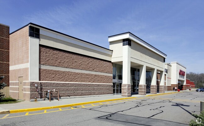
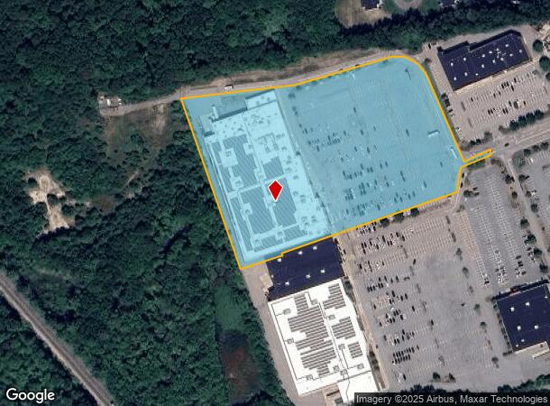
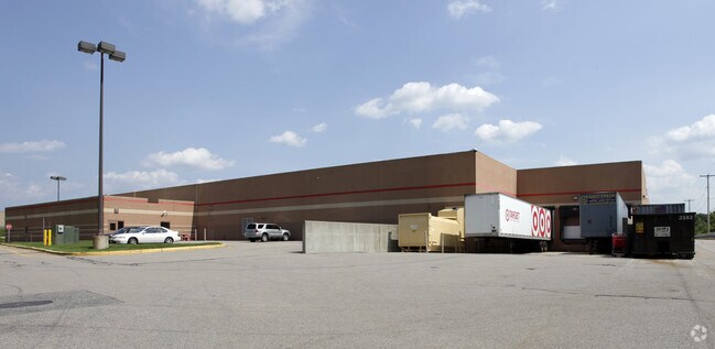
Property Record
81 Taunton Depot Dr, Taunton, MA 02780
NEARBY LISTINGS FOR SALE OR LEASE
Property Detail
81 Taunton Depot Dr
TAUN-000107-000057
Bristol
Departmentstore
Massachusetts
X
57
25005C0164G
9.37 AC
2025
Attleboro/New Bedford
2025
Boston
614101
Providence-Warwick, RI-MA
127,092 SF
DEMOGRAPHICS near 81 Taunton Depot Dr
1 Mile
3 Mile
5 Mile
2024 Total Population
4,805
42,623
74,853
2029 Population
4,811
42,239
74,209
Pop Growth 2024-2029
+ 0.12%
(0.90%)
(0.86%)
Average Age
39
40
41
2024 Total Households
1,900
17,082
29,165
HH Growth 2024-2029
+ 0.05%
(0.94%)
(0.92%)
Median Household Inc
$62,797
$63,254
$73,616
Avg Household Size
2.50
2.40
2.50
2024 Avg HH Vehicles
2.00
2.00
2.00
Median Home Value
$344,940
$361,106
$378,314
Median Year Built
1980
1968
1971
Nearby Places
Map Layers
Map Styles
 Street
 Aerial
- Restaurants
- Banks
- Shops
- Fitness
- Groceries
PUBLIC TRANSPORTATION
AIRPORT
Rhode Island Tf Green International
DRIVE
WALK
Distance
Rhode Island Tf Green International
50 min
28.2 mi
Freight Ports
Port of New Bedford Harbor
DRIVE
WALK
Distance
Port of New Bedford Harbor
30 min
21.0 mi
SALE & LEASE HISTORY
LISTING DATE
SALE/LEASE

Sep 25, 2016
For Lease
Nearby Properties
Address
Land Use
TOTAL SIZE
Lot Size
Zoning
Address
Land Use
TOTAL SIZE
Lot Size
Zoning
279,756 SF
11.62 AC
OFFDIS
Address
Land Use
TOTAL SIZE
Lot Size
Zoning
850,008 SF
172.89 AC
INDUST
Address
Land Use
TOTAL SIZE
Lot Size
Zoning
130,851 SF
24.43 AC
URBRES
Address
Land Use
TOTAL SIZE
Lot Size
Zoning
133,652 SF
2 AC
Address
Land Use
TOTAL SIZE
Lot Size
Zoning
147,285 SF
0.79 AC
CENBIZ
Address
Land Use
TOTAL SIZE
Lot Size
Zoning
157.20 AC
OPSPAC
Address
Land Use
TOTAL SIZE
Lot Size
Zoning
Address
Land Use
TOTAL SIZE
Lot Size
Zoning
174,000 SF
62.88 AC
R1
Address
Land Use
TOTAL SIZE
Lot Size
Zoning
117,752 SF
22.37 AC
Address
Land Use
TOTAL SIZE
Lot Size
Zoning
217,011 SF
73.55 AC
OPSPAC
Address
Land Use
TOTAL SIZE
Lot Size
Zoning
27 AC
INDUST
Address
Land Use
TOTAL SIZE
Lot Size
Zoning
136,122 SF
49.49 AC
Address
Land Use
TOTAL SIZE
Lot Size
Zoning
67,588 SF
18.81 AC
SUBRES
Address
Land Use
TOTAL SIZE
Lot Size
Zoning
37.62 AC
URBRES
Address
Land Use
TOTAL SIZE
Lot Size
Zoning
39,910 SF
1.05 AC
CENBIZ
Address
Land Use
TOTAL SIZE
Lot Size
Zoning
14.43 AC
Address
Land Use
TOTAL SIZE
Lot Size
Zoning
351,320 SF
42 AC
INDUST
Address
Land Use
TOTAL SIZE
Lot Size
Zoning
5.20 AC
URBRES
Address
Land Use
TOTAL SIZE
Lot Size
Zoning
52,042 SF
59.53 AC
OPSPAC
Address
Land Use
TOTAL SIZE
Lot Size
Zoning
6.53 AC
URBRES
Address
Land Use
TOTAL SIZE
Lot Size
Zoning
45,786 SF
16 AC
URBRES
Address
Land Use
TOTAL SIZE
Lot Size
Zoning
206,139 SF
21.55 AC
Address
Land Use
TOTAL SIZE
Lot Size
Zoning
16 AC
URBRES
Address
Land Use
TOTAL SIZE
Lot Size
Zoning
124,465 SF
15.08 AC
INDUST
Address
Land Use
TOTAL SIZE
Lot Size
Zoning
1,783 SF
9.29 AC
Address
Land Use
TOTAL SIZE
Lot Size
Zoning
61,128 SF
0.98 AC
Address
Land Use
TOTAL SIZE
Lot Size
Zoning
107,794 SF
12.51 AC
Address
Land Use
TOTAL SIZE
Lot Size
Zoning
13 AC
HIWABZ
Address
Land Use
TOTAL SIZE
Lot Size
Zoning
96,208 SF
1.70 AC
URBRES
The World's #1 Commercial Real Estate Marketplace
Connect with us
© 2026 CoStar Group
The information above has been obtained from sources believed reliable. While we do not doubt its accuracy we have not verified it and make no guarantee, warranty or representation about it. It is your responsibility to independently confirm its accuracy and completeness. Any projections, opinions, assumptions, or estimates used are for example only and do not represent the current or future performance of the property. The value of this transaction to you depends on tax and other factors which should be evaluated by your tax, financial, and legal advisors. You and your advisors should conduct a careful, independent investigation of the property to determine to your satisfaction the suitability of the property for your needs.