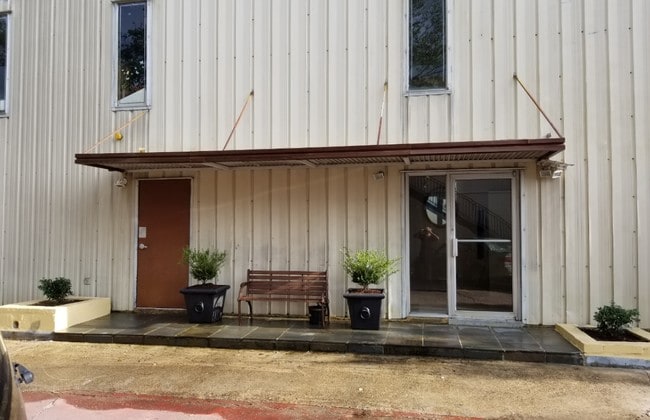
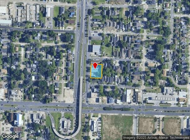
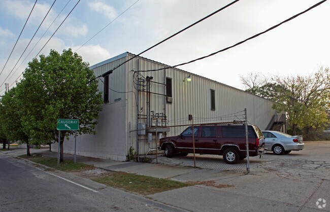
Property Record
811 Causeway Blvd, New Orleans, LA 70121
NEARBY LISTINGS FOR SALE OR LEASE
Property Detail
811 Causeway Blvd
New Orleans-Metairie, LA
Harlem Sq
0700000308
LOTS 12 & 13 & 14 & 15 & 16 SQ 145 HARLEM
Realpropertynec
Jefferson
X
Louisiana
22051C0185F
12
2024
0.41 AC
2024
Jefferson
024601
New Orleans/Metairie/Kenner
DEMOGRAPHICS near 811 Causeway Blvd
1 Mile
3 Mile
5 Mile
2024 Total Population
9,856
116,582
325,606
2029 Population
9,500
112,166
313,578
Pop Growth 2024-2029
(3.61%)
(3.79%)
(3.69%)
Average Age
45
41
41
2024 Total Households
4,844
51,540
143,767
HH Growth 2024-2029
(3.82%)
(3.95%)
(3.82%)
Median Household Inc
$53,593
$60,905
$59,339
Avg Household Size
2.00
2.10
2.20
2024 Avg HH Vehicles
1.00
1.00
1.00
Median Home Value
$238,348
$303,082
$307,533
Median Year Built
1956
1964
1963
Nearby Places
Map Layers
Map Styles
 Street
 Aerial
- Restaurants
- Banks
- Shops
- Fitness
- Groceries
PUBLIC TRANSPORTATION
COMMUTER RAIL
New Orleans Union Passenger Terminal (City of New Orleans - Amtrak, Crescent - Amtrak, Sunset Limited - Amtrak)
DRIVE
WALK
Distance
New Orleans Union Passenger Terminal (City of New Orleans - Amtrak, Crescent - Amtrak, Sunset Limited - Amtrak)
13 min
6.0 mi
AIRPORT
Louis Armstrong New Orleans International
DRIVE
WALK
Distance
Louis Armstrong New Orleans International
18 min
10.7 mi
Freight Ports
Port of New Orleans
DRIVE
WALK
Distance
Port of New Orleans
19 min
8.4 mi
SALE & LEASE HISTORY
LISTING DATE
SALE/LEASE

Jun 21, 2017
For Lease
Nearby Properties
Address
Land Use
TOTAL SIZE
Lot Size
Zoning
Address
Land Use
TOTAL SIZE
Lot Size
Zoning
80.92 AC
EC
Address
Land Use
TOTAL SIZE
Lot Size
Zoning
22.63 AC
Address
Land Use
TOTAL SIZE
Lot Size
Zoning
50.06 AC
R1A
Address
Land Use
TOTAL SIZE
Lot Size
Zoning
0.14 AC
Address
Land Use
TOTAL SIZE
Lot Size
Zoning
609,449 SF
2 AC
EC
Address
Land Use
TOTAL SIZE
Lot Size
Zoning
35.06 AC
Address
Land Use
TOTAL SIZE
Lot Size
Zoning
4.31 AC
BC2
Address
Land Use
TOTAL SIZE
Lot Size
Zoning
3.36 AC
EC
Address
Land Use
TOTAL SIZE
Lot Size
Zoning
315,570 SF
4.42 AC
HU-RM2
Address
Land Use
TOTAL SIZE
Lot Size
Zoning
42.34 AC
Address
Land Use
TOTAL SIZE
Lot Size
Zoning
2.20 AC
EC
Address
Land Use
TOTAL SIZE
Lot Size
Zoning
0.08 AC
Address
Land Use
TOTAL SIZE
Lot Size
Zoning
Address
Land Use
TOTAL SIZE
Lot Size
Zoning
66.97 AC
LI
Address
Land Use
TOTAL SIZE
Lot Size
Zoning
Address
Land Use
TOTAL SIZE
Lot Size
Zoning
Address
Land Use
TOTAL SIZE
Lot Size
Zoning
20.13 AC
EC
Address
Land Use
TOTAL SIZE
Lot Size
Zoning
7.98 AC
R1A
Address
Land Use
TOTAL SIZE
Lot Size
Zoning
Address
Land Use
TOTAL SIZE
Lot Size
Zoning
66.02 AC
Address
Land Use
TOTAL SIZE
Lot Size
Zoning
Address
Land Use
TOTAL SIZE
Lot Size
Zoning
Address
Land Use
TOTAL SIZE
Lot Size
Zoning
39,963 SF
110.36 AC
OS-N
Address
Land Use
TOTAL SIZE
Lot Size
Zoning
Address
Land Use
TOTAL SIZE
Lot Size
Zoning
0.69 AC
Address
Land Use
TOTAL SIZE
Lot Size
Zoning
0.12 AC
Address
Land Use
TOTAL SIZE
Lot Size
Zoning
92,133 SF
1.89 AC
EC
Address
Land Use
TOTAL SIZE
Lot Size
Zoning
14.56 AC
R1A
Address
Land Use
TOTAL SIZE
Lot Size
Zoning
Address
Land Use
TOTAL SIZE
Lot Size
Zoning
The World's #1 Commercial Real Estate Marketplace
Connect with us
© 2025 CoStar Group
The information above has been obtained from sources believed reliable. While we do not doubt its accuracy we have not verified it and make no guarantee, warranty or representation about it. It is your responsibility to independently confirm its accuracy and completeness. Any projections, opinions, assumptions, or estimates used are for example only and do not represent the current or future performance of the property. The value of this transaction to you depends on tax and other factors which should be evaluated by your tax, financial, and legal advisors. You and your advisors should conduct a careful, independent investigation of the property to determine to your satisfaction the suitability of the property for your needs.