Property Record
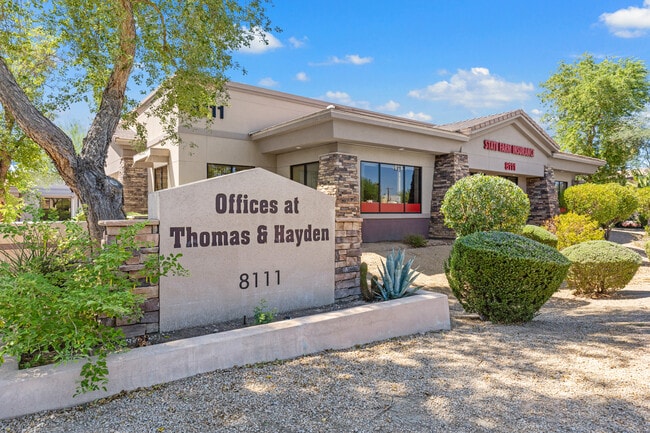
8111 E Thomas Rd, Scottsdale, AZ 85251

Property Detail
8111 E Thomas Rd
131-03-316
THOMAS AND HAYDEN OFFICE CONDOMINIUMS 2ND AMD MCR 939-25 UNIT 120 (PLEASE NOTE: FOR LEGAL DESCRIPTION REFERENCES REGARDING THE PERCENTAGE OF OWNERSHI P OF THECOMMON AREA(S) PLEASE REFER TO THE RECORDED COVENANTS, CONDITIONS AND RESTRICTIONS (CCR) ASS
Officecondo
Maricopa
C-T
Arizona
B and X Area of moderate flood hazard, usually the area between the limits of the 100-year and 500-year floods.
120
2025
0.07 AC
2025
Scottsdale South
217800
Phoenix
5,455 SF
Phoenix-Mesa-Chandler, AZ
NEARBY LISTINGS FOR SALE OR LEASE
DEMOGRAPHICS near 8111 E Thomas Rd
1 mile
3 mile
5 mile
2025 Total Population
17,709
101,265
259,574
2030 Population
18,598
107,006
273,160
Pop Growth 2025-2030
+ 5.02%
+ 5.67%
+ 5.23%
Average Age
41
41
37
2025 Total Households
8,706
50,959
118,663
HH Growth 2025-2030
+ 5.18%
+ 5.87%
+ 5.54%
Median Household Inc
$87,529
$90,118
$78,154
Avg Household Size
1.90
1.90
2.00
2025 Avg HH Vehicles
2.00
2.00
2.00
Median Home Value
$615,516
$603,185
$588,327
Median Year Built
1974
1977
1982
Nearby Places
Map Layers
Map Styles
 Street
 Aerial
Layers
 Traffic
 Biking
Places
Listings with unknown addresses are not visible on the map
- Restaurants
- Banks
- Shops
- Fitness
- Groceries
PUBLIC TRANSPORTATION
AIRPORT
Phoenix Sky Harbor International
Drive
Walk
Distance
Phoenix Sky Harbor International
16 min
9.0 mi
Phoenix-Mesa Gateway
Drive
Walk
Distance
Phoenix-Mesa Gateway
38 min
26.2 mi
SALE & LEASE HISTORY
LISTING DATE
SALE/LEASE

Oct 02, 2017
For Lease
Nov 22, 2025
For Lease
Mar 29, 2021
For Sale
Mar 27, 2018
For Sale
Mar 15, 2021
For Lease
Mar 15, 2021
For Sale
Feb 28, 2020
For Sale
Aug 28, 2020
For Sale
Apr 07, 2025
For Sale
Nearby Properties
Address
Land Use
TOTAL SIZE
Lot Size
Zoning
Address
Land Use
TOTAL SIZE
Lot Size
Zoning
Address
Land Use
TOTAL SIZE
Lot Size
Zoning
1,870,689 SF
46.77 AC
I-P
Address
Land Use
TOTAL SIZE
Lot Size
Zoning
2,636,740 SF
21.88 AC
C-DT
Address
Land Use
TOTAL SIZE
Lot Size
Zoning
33,483 SF
7.82 AC
PF
Address
Land Use
TOTAL SIZE
Lot Size
Zoning
9,160 SF
2.57 AC
DDMU2
Address
Land Use
TOTAL SIZE
Lot Size
Zoning
649,656 SF
10.19 AC
PAD
Address
Land Use
TOTAL SIZE
Lot Size
Zoning
981,325 SF
8.31 AC
Address
Land Use
TOTAL SIZE
Lot Size
Zoning
3.77 AC
PNC
Address
Land Use
TOTAL SIZE
Lot Size
Zoning
44,971 SF
2.06 AC
C-R
Address
Land Use
TOTAL SIZE
Lot Size
Zoning
58,061 SF
5.43 AC
C-C
Address
Land Use
TOTAL SIZE
Lot Size
Zoning
3,010 SF
35.44 AC
R110
Address
Land Use
TOTAL SIZE
Lot Size
Zoning
307,604 SF
37.83 AC
R-7
Address
Land Use
TOTAL SIZE
Lot Size
Zoning
301,376 SF
8.77 AC
PAD
Address
Land Use
TOTAL SIZE
Lot Size
Zoning
776,898 SF
27.32 AC
C-R
Address
Land Use
TOTAL SIZE
Lot Size
Zoning
1,229,384 SF
4.81 AC
Address
Land Use
TOTAL SIZE
Lot Size
Zoning
469,012 SF
11.39 AC
I-1
Address
Land Use
TOTAL SIZE
Lot Size
Zoning
392,172 SF
7.50 AC
DM2
Address
Land Use
TOTAL SIZE
Lot Size
Zoning
62,497 SF
130.73 AC
R-6
Address
Land Use
TOTAL SIZE
Lot Size
Zoning
439,600 SF
8.52 AC
DDCC2
Address
Land Use
TOTAL SIZE
Lot Size
Zoning
617,776 SF
4.53 AC
DDMU2
Address
Land Use
TOTAL SIZE
Lot Size
Zoning
163,318 SF
12.11 AC
PAD
Address
Land Use
TOTAL SIZE
Lot Size
Zoning
639,643 SF
5.43 AC
PAD
Address
Land Use
TOTAL SIZE
Lot Size
Zoning
530,384 SF
5.24 AC
C-DT
Address
Land Use
TOTAL SIZE
Lot Size
Zoning
Address
Land Use
TOTAL SIZE
Lot Size
Zoning
590,903 SF
9.41 AC
C-DT
Address
Land Use
TOTAL SIZE
Lot Size
Zoning
438,373 SF
11.35 AC
Address
Land Use
TOTAL SIZE
Lot Size
Zoning
245,175 SF
6.94 AC
DDRU2
Address
Land Use
TOTAL SIZE
Lot Size
Zoning
18,758 SF
312
Address
Land Use
TOTAL SIZE
Lot Size
Zoning
153,890 SF
8.54 AC
C-R
Address
Land Use
TOTAL SIZE
Lot Size
Zoning
514,973 SF
4.14 AC
DDMU2
The World's #1 Commercial Real Estate Marketplace
Connect with us
© 2026 CoStar Group
The information above has been obtained from sources believed reliable. While we do not doubt its accuracy we have not verified it and make no guarantee, warranty or representation about it. It is your responsibility to independently confirm its accuracy and completeness. Any projections, opinions, assumptions, or estimates used are for example only and do not represent the current or future performance of the property. The value of this transaction to you depends on tax and other factors which should be evaluated by your tax, financial, and legal advisors. You and your advisors should conduct a careful, independent investigation of the property to determine to your satisfaction the suitability of the property for your needs.