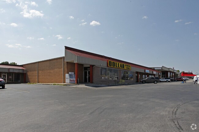
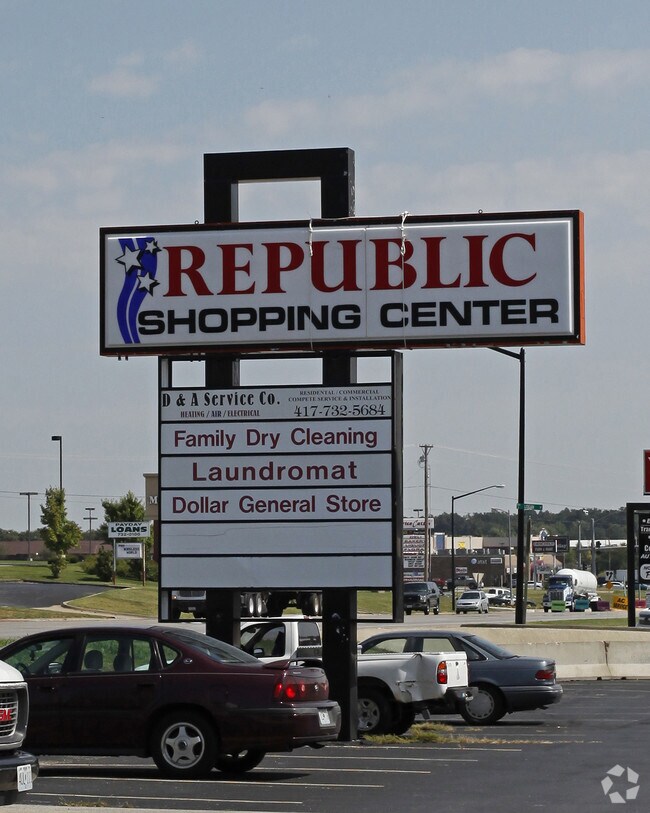
Property Record
814 Us Highway 60 E, Republic, MO 65738

Property Detail
814 Us Highway 60 E
17-20-107-002
REP IRR 2.695A M/L BEG 436.5 FT NE INT S LN N1/2 NE1/4 & E LNHWY 60 NE 362.8 FT E 300 FTSW 607.3 FT W 66.95 FT NELY 107.15 FT NW 186.65 FT TO BEG (EX NEW RW) 20/28/23
Communitycenter
Greene
INC
Missouri
B and X Area of moderate flood hazard, usually the area between the limits of the 100-year and 500-year floods.
2.70 AC
2025
Outlying Greene County
2025
Springfield
004802
Springfield, MO
41,504 SF
NEARBY LISTINGS FOR SALE OR LEASE
DEMOGRAPHICS near 814 Us Highway 60 E
1 mile
3 mile
5 mile
2025 Total Population
7,488
21,598
25,798
2030 Population
7,613
22,281
26,658
Pop Growth 2025-2030
+ 1.67%
+ 3.16%
+ 3.33%
Average Age
37
37
37
2025 Total Households
2,895
8,112
9,681
HH Growth 2025-2030
+ 1.87%
+ 3.30%
+ 3.47%
Median Household Inc
$64,739
$69,848
$73,285
Avg Household Size
2.60
2.60
2.60
2025 Avg HH Vehicles
2.00
2.00
2.00
Median Home Value
$199,797
$232,823
$244,705
Median Year Built
1985
1994
1994
Nearby Places
Map Layers
Map Styles
 Street
 Aerial
Transit
 Traffic
 Biking
Places
Listings with unknown addresses are not visible on the map
- Restaurants
- Banks
- Shops
- Fitness
- Groceries
PUBLIC TRANSPORTATION
AIRPORT
Springfield-Branson Ntl
Drive
Walk
Distance
Springfield-Branson Ntl
29 min
14.8 mi
Freight Ports
Tulsa Port of Inola
Drive
Walk
Distance
Tulsa Port of Inola
186 min
165.7 mi
Nearby Properties
Address
Land Use
TOTAL SIZE
Lot Size
Zoning
Address
Land Use
TOTAL SIZE
Lot Size
Zoning
157,134 SF
18.35 AC
INC
Address
Land Use
TOTAL SIZE
Lot Size
Zoning
129,624 SF
10.94 AC
INC
Address
Land Use
TOTAL SIZE
Lot Size
Zoning
Address
Land Use
TOTAL SIZE
Lot Size
Zoning
136,508 SF
16.42 AC
INC
Address
Land Use
TOTAL SIZE
Lot Size
Zoning
1,881 SF
3.45 AC
INC
Address
Land Use
TOTAL SIZE
Lot Size
Zoning
12.09 AC
Address
Land Use
TOTAL SIZE
Lot Size
Zoning
43,092 SF
5.51 AC
INC
Address
Land Use
TOTAL SIZE
Lot Size
Zoning
1,315 SF
7.58 AC
Address
Land Use
TOTAL SIZE
Lot Size
Zoning
5.24 AC
Address
Land Use
TOTAL SIZE
Lot Size
Zoning
8.65 AC
INC
Address
Land Use
TOTAL SIZE
Lot Size
Zoning
3.56 AC
INC
Address
Land Use
TOTAL SIZE
Lot Size
Zoning
50,472 SF
4.03 AC
INC
Address
Land Use
TOTAL SIZE
Lot Size
Zoning
80,344 SF
5.31 AC
INC
Address
Land Use
TOTAL SIZE
Lot Size
Zoning
1.94 AC
INC.
Address
Land Use
TOTAL SIZE
Lot Size
Zoning
10,726 SF
1.92 AC
INC
Address
Land Use
TOTAL SIZE
Lot Size
Zoning
2.65 AC
INC
Address
Land Use
TOTAL SIZE
Lot Size
Zoning
9,960 SF
5.09 AC
INC
Address
Land Use
TOTAL SIZE
Lot Size
Zoning
46,775 SF
4.60 AC
INC
Address
Land Use
TOTAL SIZE
Lot Size
Zoning
27,924 SF
2.04 AC
INC
Address
Land Use
TOTAL SIZE
Lot Size
Zoning
76,794 SF
6.46 AC
INC
Address
Land Use
TOTAL SIZE
Lot Size
Zoning
2,400 SF
5.29 AC
INC
Address
Land Use
TOTAL SIZE
Lot Size
Zoning
17,848 SF
1.15 AC
INC
Address
Land Use
TOTAL SIZE
Lot Size
Zoning
1.28 AC
INC
Address
Land Use
TOTAL SIZE
Lot Size
Zoning
23,336 SF
4 AC
INC
Address
Land Use
TOTAL SIZE
Lot Size
Zoning
14,493 SF
2.33 AC
INC
Address
Land Use
TOTAL SIZE
Lot Size
Zoning
Address
Land Use
TOTAL SIZE
Lot Size
Zoning
10,742 SF
2.21 AC
INC
Address
Land Use
TOTAL SIZE
Lot Size
Zoning
45,756 SF
11.25 AC
INC
Address
Land Use
TOTAL SIZE
Lot Size
Zoning
9,000 SF
4.05 AC
INC
The World's #1 Commercial Real Estate Marketplace
Connect with us
© 2026 CoStar Group
The information above has been obtained from sources believed reliable. While we do not doubt its accuracy we have not verified it and make no guarantee, warranty or representation about it. It is your responsibility to independently confirm its accuracy and completeness. Any projections, opinions, assumptions, or estimates used are for example only and do not represent the current or future performance of the property. The value of this transaction to you depends on tax and other factors which should be evaluated by your tax, financial, and legal advisors. You and your advisors should conduct a careful, independent investigation of the property to determine to your satisfaction the suitability of the property for your needs.