Property Record
815 E Main St, Laurel, MT 59044

Property Detail
815 E Main St
03-0821-10-3-09-02-0000
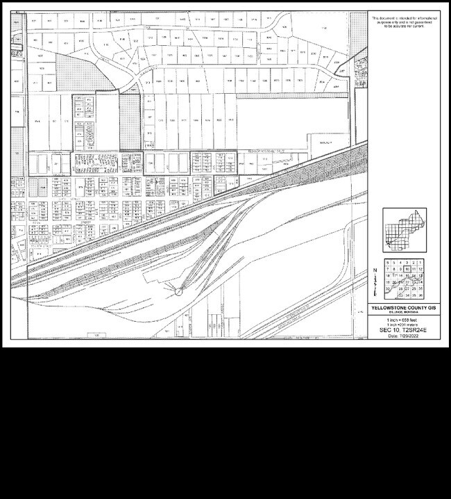
NUTTING SUBD, S10, T02 S, R24 E, BLOCK 20, LOT 1A, AMND (I-30 ALSO HERE) (99) ALL VAC 20 FT ALLEY
Commercialnec
Yellowstone
HC
Montana
B and X Area of moderate flood hazard, usually the area between the limits of the 100-year and 500-year floods.
1a
2024
0.85 AC
2025
Billings
001902
Other Market Areas
10,110 SF
Billings, MT
NEARBY LISTINGS FOR SALE OR LEASE
DEMOGRAPHICS near 815 E Main St
1 mile
3 mile
5 mile
2025 Total Population
4,802
10,554
12,405
2030 Population
4,962
10,832
12,756
Pop Growth 2025-2030
+ 3.33%
+ 2.63%
+ 2.83%
Average Age
40
41
41
2025 Total Households
2,026
4,213
4,888
HH Growth 2025-2030
+ 3.41%
+ 2.82%
+ 2.99%
Median Household Inc
$62,302
$71,627
$74,842
Avg Household Size
2.30
2.50
2.50
2025 Avg HH Vehicles
2.00
2.00
2.00
Median Home Value
$271,858
$324,036
$345,864
Median Year Built
1973
1978
1980
Nearby Places
Map Layers
Map Styles
 Street
 Aerial
Layers
 Traffic
 Biking
Places
Listings with unknown addresses are not visible on the map
- Restaurants
- Banks
- Shops
- Fitness
- Groceries
PUBLIC TRANSPORTATION
AIRPORT
Billings Logan International
Drive
Walk
Distance
Billings Logan International
40 min
19.3 mi
Nearby Properties
Address
Land Use
TOTAL SIZE
Lot Size
Zoning
Address
Land Use
TOTAL SIZE
Lot Size
Zoning
385,001 SF
102.22 AC
7
Address
Land Use
TOTAL SIZE
Lot Size
Zoning
158,130 SF
16.11 AC
Address
Land Use
TOTAL SIZE
Lot Size
Zoning
86,116 SF
12.07 AC
1
Address
Land Use
TOTAL SIZE
Lot Size
Zoning
110,231 SF
10 AC
Address
Land Use
TOTAL SIZE
Lot Size
Zoning
4.49 AC
Address
Land Use
TOTAL SIZE
Lot Size
Zoning
44,280 SF
4.90 AC
1
Address
Land Use
TOTAL SIZE
Lot Size
Zoning
23,968 SF
202.67 AC
6
Address
Land Use
TOTAL SIZE
Lot Size
Zoning
39,379 SF
3.90 AC
Address
Land Use
TOTAL SIZE
Lot Size
Zoning
4,560 SF
12.57 AC
Address
Land Use
TOTAL SIZE
Lot Size
Zoning
24,610 SF
2.17 AC
HC
Address
Land Use
TOTAL SIZE
Lot Size
Zoning
36,976 SF
7.63 AC
P
Address
Land Use
TOTAL SIZE
Lot Size
Zoning
94.51 AC
Address
Land Use
TOTAL SIZE
Lot Size
Zoning
29,919 SF
1.74 AC
Address
Land Use
TOTAL SIZE
Lot Size
Zoning
59,050 SF
2.07 AC
R6000
Address
Land Use
TOTAL SIZE
Lot Size
Zoning
33,654 SF
5.27 AC
P
Address
Land Use
TOTAL SIZE
Lot Size
Zoning
7.54 AC
P
Address
Land Use
TOTAL SIZE
Lot Size
Zoning
35,795 SF
2.34 AC
Address
Land Use
TOTAL SIZE
Lot Size
Zoning
62,000 SF
21.59 AC
7
Address
Land Use
TOTAL SIZE
Lot Size
Zoning
90,348 SF
9.50 AC
HC
Address
Land Use
TOTAL SIZE
Lot Size
Zoning
73,148 SF
3.29 AC
Address
Land Use
TOTAL SIZE
Lot Size
Zoning
28,540 SF
6.03 AC
Address
Land Use
TOTAL SIZE
Lot Size
Zoning
15.39 AC
Address
Land Use
TOTAL SIZE
Lot Size
Zoning
21,317 SF
0.51 AC
Address
Land Use
TOTAL SIZE
Lot Size
Zoning
109,301 SF
19.12 AC
7
Address
Land Use
TOTAL SIZE
Lot Size
Zoning
12,311 SF
4 AC
8
Address
Land Use
TOTAL SIZE
Lot Size
Zoning
14,208 SF
0.81 AC
Address
Land Use
TOTAL SIZE
Lot Size
Zoning
15,882 SF
7.74 AC
Address
Land Use
TOTAL SIZE
Lot Size
Zoning
30,345 SF
2.55 AC
HC
Address
Land Use
TOTAL SIZE
Lot Size
Zoning
33,200 SF
5 AC
Address
Land Use
TOTAL SIZE
Lot Size
Zoning
21,757 SF
3.09 AC
The World's #1 Commercial Real Estate Marketplace
Connect with us
© 2026 CoStar Group
The information above has been obtained from sources believed reliable. While we do not doubt its accuracy we have not verified it and make no guarantee, warranty or representation about it. It is your responsibility to independently confirm its accuracy and completeness. Any projections, opinions, assumptions, or estimates used are for example only and do not represent the current or future performance of the property. The value of this transaction to you depends on tax and other factors which should be evaluated by your tax, financial, and legal advisors. You and your advisors should conduct a careful, independent investigation of the property to determine to your satisfaction the suitability of the property for your needs.