Property Record
817 Highway 247 Cir, Byron, GA 31008
NEARBY LISTINGS FOR SALE OR LEASE
Property Detail
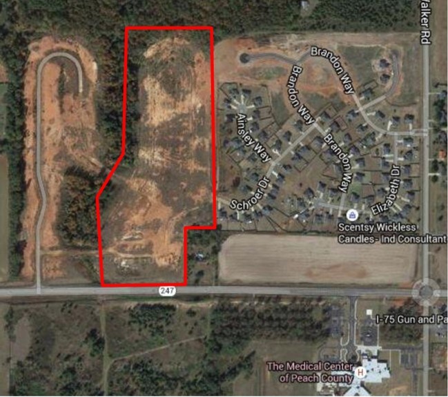
817 Highway 247 Cir
Warner Robins, GA
Hawks Ridge #2
052A-084
TRACT A \ 4.26 AC LL 10 & 11 LD5
Residentialacreage
Peach
X
Georgia
13225C0110C
a
2024
4.26 AC
2024
Perry/Warner Robins
040103
Other Market Areas
DEMOGRAPHICS near 817 Highway 247 Cir
1 Mile
3 Mile
5 Mile
2024 Total Population
1,126
8,289
40,225
2029 Population
1,184
8,728
43,345
Pop Growth 2024-2029
+ 5.15%
+ 5.30%
+ 7.76%
Average Age
44
42
39
2024 Total Households
463
3,343
15,666
HH Growth 2024-2029
+ 5.18%
+ 5.26%
+ 7.61%
Median Household Inc
$56,808
$77,347
$77,130
Avg Household Size
2.40
2.50
2.60
2024 Avg HH Vehicles
2.00
2.00
2.00
Median Home Value
$227,907
$197,882
$177,735
Median Year Built
2003
2000
1999
Nearby Places
Map Layers
Map Styles
 Street
 Aerial
- Restaurants
- Banks
- Shops
- Fitness
- Groceries
Nearby Properties
Address
Land Use
TOTAL SIZE
Lot Size
Zoning
Address
Land Use
TOTAL SIZE
Lot Size
Zoning
9,600 SF
24.25 AC
C-H
Address
Land Use
TOTAL SIZE
Lot Size
Zoning
68,545 SF
19.94 AC
MULTI
Address
Land Use
TOTAL SIZE
Lot Size
Zoning
338,708 SF
28.28 AC
M-2
Address
Land Use
TOTAL SIZE
Lot Size
Zoning
63,274 SF
40.80 AC
C-2, WR
Address
Land Use
TOTAL SIZE
Lot Size
Zoning
56,260 SF
17.70 AC
C2
Address
Land Use
TOTAL SIZE
Lot Size
Zoning
5,320 SF
15.47 AC
R-4
Address
Land Use
TOTAL SIZE
Lot Size
Zoning
10,000 SF
43.93 AC
I-1
Address
Land Use
TOTAL SIZE
Lot Size
Zoning
94,274 SF
28.34 AC
R-AG
Address
Land Use
TOTAL SIZE
Lot Size
Zoning
60,300 SF
6.99 AC
M-2, WR
Address
Land Use
TOTAL SIZE
Lot Size
Zoning
80,825 SF
7.20 AC
I-1
Address
Land Use
TOTAL SIZE
Lot Size
Zoning
14,140 SF
16.59 AC
R1
Address
Land Use
TOTAL SIZE
Lot Size
Zoning
8,640 SF
12.49 AC
R-AG
Address
Land Use
TOTAL SIZE
Lot Size
Zoning
58,534 SF
7.82 AC
MULTI
Address
Land Use
TOTAL SIZE
Lot Size
Zoning
9,863 SF
11.85 AC
RR-1
Address
Land Use
TOTAL SIZE
Lot Size
Zoning
152.11 AC
PDE (WR)
Address
Land Use
TOTAL SIZE
Lot Size
Zoning
5,154 SF
42.78 AC
R-AG
Address
Land Use
TOTAL SIZE
Lot Size
Zoning
1,620 SF
8.91 AC
M-2, WR
Address
Land Use
TOTAL SIZE
Lot Size
Zoning
4,294 SF
12 AC
R-AG
Address
Land Use
TOTAL SIZE
Lot Size
Zoning
12,026 SF
11.75 AC
R-1
Address
Land Use
TOTAL SIZE
Lot Size
Zoning
61.05 AC
C-2, WR
Address
Land Use
TOTAL SIZE
Lot Size
Zoning
724 AC
R-AG
Address
Land Use
TOTAL SIZE
Lot Size
Zoning
11,083 SF
6.14 AC
C-2
Address
Land Use
TOTAL SIZE
Lot Size
Zoning
12,154 SF
15.06 AC
R-1
Address
Land Use
TOTAL SIZE
Lot Size
Zoning
13,000 SF
11.68 AC
MULTI
Address
Land Use
TOTAL SIZE
Lot Size
Zoning
15,946 SF
2.26 AC
C-2
Address
Land Use
TOTAL SIZE
Lot Size
Zoning
59.47 AC
R-AG
Address
Land Use
TOTAL SIZE
Lot Size
Zoning
14,792 SF
3.97 AC
R-2
Address
Land Use
TOTAL SIZE
Lot Size
Zoning
8,188 SF
3 AC
C-2
Address
Land Use
TOTAL SIZE
Lot Size
Zoning
43,071 SF
8.84 AC
I-1
Address
Land Use
TOTAL SIZE
Lot Size
Zoning
8,640 SF
5.92 AC
C-3
The World's #1 Commercial Real Estate Marketplace
Connect with us
© 2025 CoStar Group
The information above has been obtained from sources believed reliable. While we do not doubt its accuracy we have not verified it and make no guarantee, warranty or representation about it. It is your responsibility to independently confirm its accuracy and completeness. Any projections, opinions, assumptions, or estimates used are for example only and do not represent the current or future performance of the property. The value of this transaction to you depends on tax and other factors which should be evaluated by your tax, financial, and legal advisors. You and your advisors should conduct a careful, independent investigation of the property to determine to your satisfaction the suitability of the property for your needs.