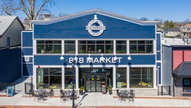
Property Record
818 Frederick Rd, Catonsville, MD 21228

NEARBY LISTINGS FOR SALE OR LEASE
Property Detail
818 Frederick Rd
01-0113551430
LT NS FREDERICK RD
Supermarket
Baltimore
X
Maryland
2400100388G
0.23 AC
2024
Catonsville
2025
Baltimore
401000
Baltimore-Columbia-Towson, MD
20,848 SF
DEMOGRAPHICS near 818 Frederick Rd
1 Mile
3 Mile
5 Mile
2024 Total Population
13,678
104,086
292,664
2029 Population
13,455
101,776
289,840
Pop Growth 2024-2029
(1.63%)
(2.22%)
(0.96%)
Average Age
41
40
40
2024 Total Households
4,919
39,594
110,700
HH Growth 2024-2029
(1.75%)
(2.46%)
(1.19%)
Median Household Inc
$99,939
$74,295
$66,581
Avg Household Size
2.70
2.40
2.50
2024 Avg HH Vehicles
2.00
2.00
2.00
Median Home Value
$387,628
$284,456
$275,434
Median Year Built
1954
1960
1961
Nearby Places
Map Layers
Map Styles
 Street
 Aerial
- Restaurants
- Banks
- Shops
- Fitness
- Groceries
PUBLIC TRANSPORTATION
COMMUTER RAIL
DRIVE
WALK
Distance
8 min
4.1 mi
DRIVE
WALK
Distance
8 min
4.1 mi
AIRPORT
Baltimore/Washington International Thurgood Marshall
DRIVE
WALK
Distance
Baltimore/Washington International Thurgood Marshall
15 min
8.1 mi
Ronald Reagan Washington Ntl
DRIVE
WALK
Distance
Ronald Reagan Washington Ntl
63 min
39.5 mi
Freight Ports
Port of Baltimore
DRIVE
WALK
Distance
Port of Baltimore
16 min
9.0 mi
SALE & LEASE HISTORY
LISTING DATE
SALE/LEASE

Jun 06, 2022
For Lease
Jun 03, 2022
For Sale
Feb 21, 2024
For Sale
Nearby Properties
Address
Land Use
TOTAL SIZE
Lot Size
Zoning
Address
Land Use
TOTAL SIZE
Lot Size
Zoning
2,182,087 SF
95.52 AC
DR5.5
Address
Land Use
TOTAL SIZE
Lot Size
Zoning
1,809,709 SF
50 AC
DR3.5
Address
Land Use
TOTAL SIZE
Lot Size
Zoning
608,642 SF
56.37 AC
DR3.5
Address
Land Use
TOTAL SIZE
Lot Size
Zoning
98,318 SF
175.16 AC
OT
Address
Land Use
TOTAL SIZE
Lot Size
Zoning
271,096 SF
6 AC
02
Address
Land Use
TOTAL SIZE
Lot Size
Zoning
88,254 SF
105.20 AC
DR2
Address
Land Use
TOTAL SIZE
Lot Size
Zoning
207,168 SF
63.84 AC
DR3.5
Address
Land Use
TOTAL SIZE
Lot Size
Zoning
312,231 SF
11.23 AC
R-5
Address
Land Use
TOTAL SIZE
Lot Size
Zoning
131,176 SF
33.97 AC
BMCT
Address
Land Use
TOTAL SIZE
Lot Size
Zoning
40.17 AC
DR16
Address
Land Use
TOTAL SIZE
Lot Size
Zoning
23,962 SF
17.31 AC
BRCS2
Address
Land Use
TOTAL SIZE
Lot Size
Zoning
156,834 SF
10.26 AC
DR5.5
Address
Land Use
TOTAL SIZE
Lot Size
Zoning
165,860 SF
3.35 AC
BLCCC
Address
Land Use
TOTAL SIZE
Lot Size
Zoning
23.78 AC
DR5.5
Address
Land Use
TOTAL SIZE
Lot Size
Zoning
129,423 SF
38.77 AC
DR5.5
Address
Land Use
TOTAL SIZE
Lot Size
Zoning
2,960 SF
18.72 AC
DR3.5
Address
Land Use
TOTAL SIZE
Lot Size
Zoning
22.99 AC
DR16
Address
Land Use
TOTAL SIZE
Lot Size
Zoning
197,754 SF
12.63 AC
DR5.5
Address
Land Use
TOTAL SIZE
Lot Size
Zoning
15.29 AC
BLCCL
Address
Land Use
TOTAL SIZE
Lot Size
Zoning
148,500 SF
5.10 AC
Address
Land Use
TOTAL SIZE
Lot Size
Zoning
15.08 AC
DR105
Address
Land Use
TOTAL SIZE
Lot Size
Zoning
11.01 AC
DR16
Address
Land Use
TOTAL SIZE
Lot Size
Zoning
132,826 SF
31.52 AC
DR5.5
Address
Land Use
TOTAL SIZE
Lot Size
Zoning
32,667 SF
7.79 AC
DR105
Address
Land Use
TOTAL SIZE
Lot Size
Zoning
8,408 SF
10.56 AC
BLCT
Address
Land Use
TOTAL SIZE
Lot Size
Zoning
13.97 AC
DR16
Address
Land Use
TOTAL SIZE
Lot Size
Zoning
98,797 SF
2.71 AC
BR
Address
Land Use
TOTAL SIZE
Lot Size
Zoning
144,000 SF
1.92 AC
BR
Address
Land Use
TOTAL SIZE
Lot Size
Zoning
122,560 SF
3.92 AC
ML
Address
Land Use
TOTAL SIZE
Lot Size
Zoning
63,975 SF
4.85 AC
The World's #1 Commercial Real Estate Marketplace
Connect with us
© 2025 CoStar Group
The information above has been obtained from sources believed reliable. While we do not doubt its accuracy we have not verified it and make no guarantee, warranty or representation about it. It is your responsibility to independently confirm its accuracy and completeness. Any projections, opinions, assumptions, or estimates used are for example only and do not represent the current or future performance of the property. The value of this transaction to you depends on tax and other factors which should be evaluated by your tax, financial, and legal advisors. You and your advisors should conduct a careful, independent investigation of the property to determine to your satisfaction the suitability of the property for your needs.