Property Record
8185 Highway 242, Conroe, TX 77385
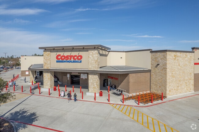

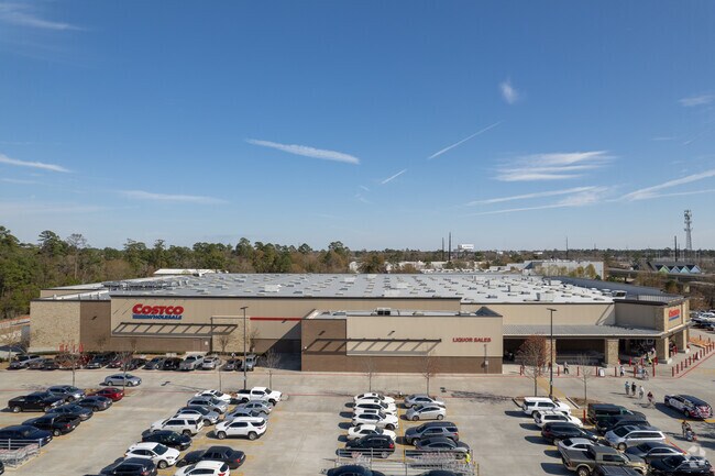
Property Detail
8185 Highway 242
9716-06-00200
S971606 - WDLNDS TRADE CENTER 06, RES A-2, RES B-2, ACRES 17.464
Commercialnec
MONTGOMERY
B and X Area of moderate flood hazard, usually the area between the limits of the 100-year and 500-year floods.
Texas
2024
17.46 AC
2025
Montgomery County
692102
Houston
152,036 SF
Houston-Pasadena-The Woodlands, TX
NEARBY LISTINGS FOR SALE OR LEASE
DEMOGRAPHICS near 8185 Highway 242
1 mile
3 mile
5 mile
2025 Total Population
4,704
45,384
135,905
2030 Population
5,514
53,140
158,664
Pop Growth 2025-2030
+ 17.22%
+ 17.09%
+ 16.75%
Average Age
40
39
41
2025 Total Households
1,719
17,814
53,297
HH Growth 2025-2030
+ 18.03%
+ 17.76%
+ 17.41%
Median Household Inc
$104,787
$99,714
$107,246
Avg Household Size
2.70
2.50
2.50
2025 Avg HH Vehicles
2.00
2.00
2.00
Median Home Value
$357,899
$376,970
$398,315
Median Year Built
2009
2009
2002
Nearby Places
Map Layers
Map Styles
 Street
 Aerial
Layers
 Traffic
 Biking
Places
Listings with unknown addresses are not visible on the map
- Restaurants
- Banks
- Shops
- Fitness
- Groceries
PUBLIC TRANSPORTATION
AIRPORT
George Bush Intcntl/Houston
Drive
Walk
Distance
George Bush Intcntl/Houston
31 min
24.2 mi
Nearby Properties
Address
Land Use
TOTAL SIZE
Lot Size
Zoning
Address
Land Use
TOTAL SIZE
Lot Size
Zoning
1,416,950 SF
21.80 AC
Address
Land Use
TOTAL SIZE
Lot Size
Zoning
743,246 SF
40.65 AC
Address
Land Use
TOTAL SIZE
Lot Size
Zoning
465,986 SF
21.55 AC
Address
Land Use
TOTAL SIZE
Lot Size
Zoning
709,789 SF
3.04 AC
Address
Land Use
TOTAL SIZE
Lot Size
Zoning
813,318 SF
20.95 AC
Address
Land Use
TOTAL SIZE
Lot Size
Zoning
565,113 SF
4.52 AC
Address
Land Use
TOTAL SIZE
Lot Size
Zoning
370,039 SF
40.66 AC
Address
Land Use
TOTAL SIZE
Lot Size
Zoning
1,132,062 SF
3.31 AC
Address
Land Use
TOTAL SIZE
Lot Size
Zoning
410,156 SF
18.68 AC
Address
Land Use
TOTAL SIZE
Lot Size
Zoning
535,690 SF
15.89 AC
Address
Land Use
TOTAL SIZE
Lot Size
Zoning
109,842 SF
25.58 AC
Address
Land Use
TOTAL SIZE
Lot Size
Zoning
579,596 SF
1.32 AC
Address
Land Use
TOTAL SIZE
Lot Size
Zoning
336,730 SF
2.41 AC
Address
Land Use
TOTAL SIZE
Lot Size
Zoning
880,985 SF
99.32 AC
6
Address
Land Use
TOTAL SIZE
Lot Size
Zoning
189,537 SF
13.52 AC
Address
Land Use
TOTAL SIZE
Lot Size
Zoning
162,976 SF
1.04 AC
Address
Land Use
TOTAL SIZE
Lot Size
Zoning
315,885 SF
17.41 AC
Address
Land Use
TOTAL SIZE
Lot Size
Zoning
344,233 SF
15.24 AC
Address
Land Use
TOTAL SIZE
Lot Size
Zoning
477,509 SF
41.53 AC
Address
Land Use
TOTAL SIZE
Lot Size
Zoning
269,565 SF
14.58 AC
Address
Land Use
TOTAL SIZE
Lot Size
Zoning
310,245 SF
6.80 AC
Address
Land Use
TOTAL SIZE
Lot Size
Zoning
427,151 SF
17.98 AC
Address
Land Use
TOTAL SIZE
Lot Size
Zoning
324,336 SF
13.11 AC
Address
Land Use
TOTAL SIZE
Lot Size
Zoning
330,528 SF
1.21 AC
Address
Land Use
TOTAL SIZE
Lot Size
Zoning
44,672 SF
13.08 AC
Address
Land Use
TOTAL SIZE
Lot Size
Zoning
222,721 SF
10.28 AC
Address
Land Use
TOTAL SIZE
Lot Size
Zoning
291,173 SF
17.77 AC
6
Address
Land Use
TOTAL SIZE
Lot Size
Zoning
275,428 SF
3.13 AC
Address
Land Use
TOTAL SIZE
Lot Size
Zoning
221,485 SF
12.36 AC
Address
Land Use
TOTAL SIZE
Lot Size
Zoning
385,462 SF
12.36 AC
The World's #1 Commercial Real Estate Marketplace
Connect with us
© 2026 CoStar Group
The information above has been obtained from sources believed reliable. While we do not doubt its accuracy we have not verified it and make no guarantee, warranty or representation about it. It is your responsibility to independently confirm its accuracy and completeness. Any projections, opinions, assumptions, or estimates used are for example only and do not represent the current or future performance of the property. The value of this transaction to you depends on tax and other factors which should be evaluated by your tax, financial, and legal advisors. You and your advisors should conduct a careful, independent investigation of the property to determine to your satisfaction the suitability of the property for your needs.