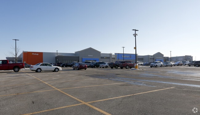
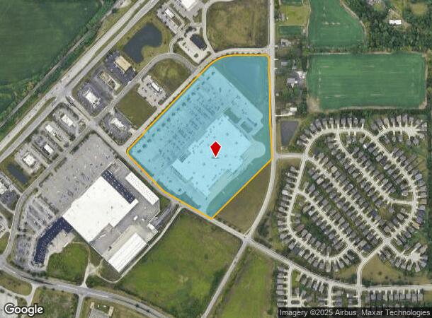
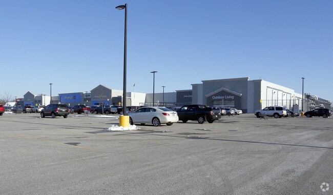
Property Record
8191 Upland Way, Camby, IN 46113
NEARBY LISTINGS FOR SALE OR LEASE
Property Detail
8191 Upland Way
32-16-20-200-005.000-011
PT NE 20-14-2E 24.91AC
Wholesaleoutletdiscountstore
Hendricks
X
Indiana
18097C0215F
24.91 AC
2024
Hendricks County
2024
Indianapolis
210608
Indianapolis-Carmel-Anderson, IN
214,991 SF
DEMOGRAPHICS near 8191 Upland Way
1 Mile
3 Mile
5 Mile
2024 Total Population
5,880
23,723
59,768
2029 Population
6,020
24,308
61,742
Pop Growth 2024-2029
+ 2.38%
+ 2.47%
+ 3.30%
Average Age
33
38
38
2024 Total Households
2,040
8,669
21,669
HH Growth 2024-2029
+ 2.99%
+ 2.60%
+ 3.31%
Median Household Inc
$82,363
$73,940
$74,643
Avg Household Size
2.80
2.70
2.60
2024 Avg HH Vehicles
2.00
2.00
2.00
Median Home Value
$179,071
$185,419
$191,176
Median Year Built
2002
1995
1993
Nearby Places
Map Layers
Map Styles
 Street
 Aerial
- Restaurants
- Banks
- Shops
- Fitness
- Groceries
PUBLIC TRANSPORTATION
AIRPORT
Indianapolis International
DRIVE
WALK
Distance
Indianapolis International
16 min
8.1 mi
Freight Ports
Port of Toledo
DRIVE
WALK
Distance
Port of Toledo
289 min
239.7 mi
SALE & LEASE HISTORY
LISTING DATE
SALE/LEASE

Sep 29, 2017
For Sale
Nearby Properties
Address
Land Use
TOTAL SIZE
Lot Size
Zoning
Address
Land Use
TOTAL SIZE
Lot Size
Zoning
911,062 SF
54.40 AC
ZO01
Address
Land Use
TOTAL SIZE
Lot Size
Zoning
86,017 SF
26.95 AC
Address
Land Use
TOTAL SIZE
Lot Size
Zoning
822,500 SF
45.66 AC
Address
Land Use
TOTAL SIZE
Lot Size
Zoning
798,160 SF
44.46 AC
ZO01
Address
Land Use
TOTAL SIZE
Lot Size
Zoning
650,960 SF
31.95 AC
Address
Land Use
TOTAL SIZE
Lot Size
Zoning
292,315 SF
28.97 AC
Address
Land Use
TOTAL SIZE
Lot Size
Zoning
595,100 SF
28.35 AC
Address
Land Use
TOTAL SIZE
Lot Size
Zoning
695,702 SF
39.68 AC
ZO03
Address
Land Use
TOTAL SIZE
Lot Size
Zoning
480,000 SF
40.60 AC
Address
Land Use
TOTAL SIZE
Lot Size
Zoning
462,275 SF
25.83 AC
ZO01
Address
Land Use
TOTAL SIZE
Lot Size
Zoning
482,016 SF
26.70 AC
Address
Land Use
TOTAL SIZE
Lot Size
Zoning
423,757 SF
28.71 AC
Address
Land Use
TOTAL SIZE
Lot Size
Zoning
5,881 SF
17.35 AC
Address
Land Use
TOTAL SIZE
Lot Size
Zoning
328,331 SF
39.63 AC
ZO01
Address
Land Use
TOTAL SIZE
Lot Size
Zoning
168,574 SF
8.30 AC
Address
Land Use
TOTAL SIZE
Lot Size
Zoning
346,808 SF
21.63 AC
Address
Land Use
TOTAL SIZE
Lot Size
Zoning
11,404 SF
12.58 AC
Address
Land Use
TOTAL SIZE
Lot Size
Zoning
129,490 SF
27.92 AC
ZO01
Address
Land Use
TOTAL SIZE
Lot Size
Zoning
368,160 SF
26.50 AC
ZO01
Address
Land Use
TOTAL SIZE
Lot Size
Zoning
12.57 AC
Address
Land Use
TOTAL SIZE
Lot Size
Zoning
3,815 SF
30.37 AC
ZO01
Address
Land Use
TOTAL SIZE
Lot Size
Zoning
246,646 SF
16.96 AC
ZO01
Address
Land Use
TOTAL SIZE
Lot Size
Zoning
76,295 SF
6.22 AC
Address
Land Use
TOTAL SIZE
Lot Size
Zoning
16.33 AC
Address
Land Use
TOTAL SIZE
Lot Size
Zoning
3,155 SF
13.02 AC
ZO01
Address
Land Use
TOTAL SIZE
Lot Size
Zoning
100,720 SF
15.79 AC
Address
Land Use
TOTAL SIZE
Lot Size
Zoning
193,909 SF
18.43 AC
Address
Land Use
TOTAL SIZE
Lot Size
Zoning
41,275 SF
3.39 AC
ZO01
Address
Land Use
TOTAL SIZE
Lot Size
Zoning
192 SF
3.28 AC
ZO01
The World's #1 Commercial Real Estate Marketplace
Connect with us
© 2025 CoStar Group
The information above has been obtained from sources believed reliable. While we do not doubt its accuracy we have not verified it and make no guarantee, warranty or representation about it. It is your responsibility to independently confirm its accuracy and completeness. Any projections, opinions, assumptions, or estimates used are for example only and do not represent the current or future performance of the property. The value of this transaction to you depends on tax and other factors which should be evaluated by your tax, financial, and legal advisors. You and your advisors should conduct a careful, independent investigation of the property to determine to your satisfaction the suitability of the property for your needs.