Property Record
898 Davenport Dr, Montgomery, AL 36105
NEARBY LISTINGS FOR SALE OR LEASE
Property Detail
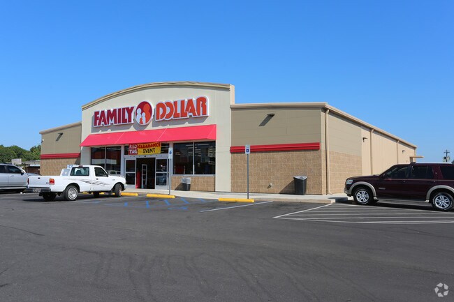
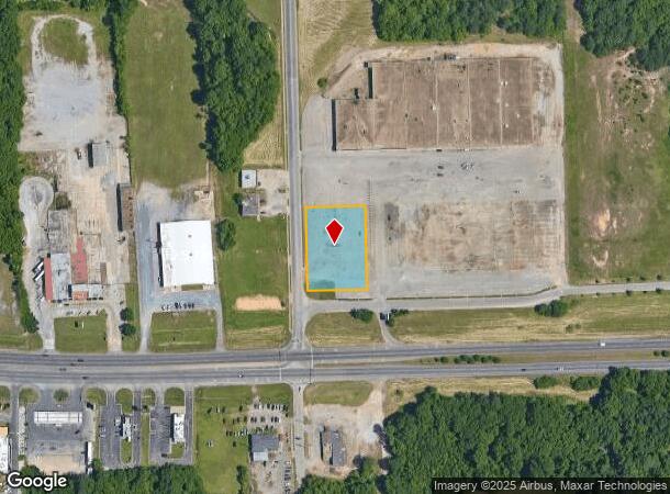
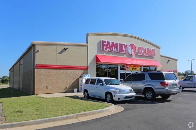
898 Davenport Dr
Montgomery, AL
Family Dollar Store 4
11-07-35-1-000-034.000
1107351000034000
Storebuilding
Montgomery
AE
Alabama
01101C0204J
1
2025
1.03 AC
2025
South Montgomery
005904
Montgomery
8,457 SF
DEMOGRAPHICS near 898 Davenport Dr
1 Mile
3 Mile
5 Mile
2024 Total Population
3,937
38,964
87,270
2029 Population
3,959
39,067
86,772
Pop Growth 2024-2029
+ 0.56%
+ 0.26%
(0.57%)
Average Age
43
40
39
2024 Total Households
1,679
16,204
35,113
HH Growth 2024-2029
+ 0.42%
+ 0.39%
(0.41%)
Median Household Inc
$28,053
$32,025
$35,519
Avg Household Size
2.30
2.30
2.30
2024 Avg HH Vehicles
2.00
2.00
2.00
Median Home Value
$59,248
$81,305
$96,542
Median Year Built
1956
1961
1967
Nearby Places
Map Layers
Map Styles
 Street
 Aerial
- Restaurants
- Banks
- Shops
- Fitness
- Groceries
PUBLIC TRANSPORTATION
AIRPORT
Montgomery Regional (Dannelly Field)
DRIVE
WALK
Distance
Montgomery Regional (Dannelly Field)
7 min
5.4 mi
Freight Ports
Port of Mobile
DRIVE
WALK
Distance
Port of Mobile
178 min
164.5 mi
SALE & LEASE HISTORY
LISTING DATE
SALE/LEASE

Mar 22, 2018
For Sale
Jan 02, 2018
For Sale
Nearby Properties
Address
Land Use
TOTAL SIZE
Lot Size
Zoning
Address
Land Use
TOTAL SIZE
Lot Size
Zoning
260,402 SF
17 AC
O-2
Address
Land Use
TOTAL SIZE
Lot Size
Zoning
858,004 SF
61.22 AC
M-1
Address
Land Use
TOTAL SIZE
Lot Size
Zoning
657,684 SF
59 AC
M-1
Address
Land Use
TOTAL SIZE
Lot Size
Zoning
40,829 SF
50.49 AC
SD
Address
Land Use
TOTAL SIZE
Lot Size
Zoning
403,088 SF
114.39 AC
M-1
Address
Land Use
TOTAL SIZE
Lot Size
Zoning
9,060 SF
524.11 AC
Address
Land Use
TOTAL SIZE
Lot Size
Zoning
341,170 SF
O-2
Address
Land Use
TOTAL SIZE
Lot Size
Zoning
391,901 SF
13 AC
M-3
Address
Land Use
TOTAL SIZE
Lot Size
Zoning
135,573 SF
35 AC
O-2
Address
Land Use
TOTAL SIZE
Lot Size
Zoning
93,745 SF
16 AC
B-4
Address
Land Use
TOTAL SIZE
Lot Size
Zoning
16,016 SF
30 AC
AGR-1
Address
Land Use
TOTAL SIZE
Lot Size
Zoning
57,565 SF
1.50 AC
T4-R
Address
Land Use
TOTAL SIZE
Lot Size
Zoning
54,384 SF
0.65 AC
Address
Land Use
TOTAL SIZE
Lot Size
Zoning
8,652 SF
5.28 AC
R-75-D
Address
Land Use
TOTAL SIZE
Lot Size
Zoning
91,241 SF
9.10 AC
R-65-S
Address
Land Use
TOTAL SIZE
Lot Size
Zoning
88,234 SF
O-1
Address
Land Use
TOTAL SIZE
Lot Size
Zoning
4.69 AC
R-75-S
Address
Land Use
TOTAL SIZE
Lot Size
Zoning
129,122 SF
9.60 AC
M-3
Address
Land Use
TOTAL SIZE
Lot Size
Zoning
193,544 SF
20.33 AC
M-3
Address
Land Use
TOTAL SIZE
Lot Size
Zoning
1,693 SF
3.29 AC
B-1-A-Q
Address
Land Use
TOTAL SIZE
Lot Size
Zoning
176,106 SF
19.22 AC
M-3
Address
Land Use
TOTAL SIZE
Lot Size
Zoning
8,483 SF
18.66 AC
M-1
Address
Land Use
TOTAL SIZE
Lot Size
Zoning
46,760 SF
4.38 AC
R-65-D
Address
Land Use
TOTAL SIZE
Lot Size
Zoning
40,554 SF
3.20 AC
INST
Address
Land Use
TOTAL SIZE
Lot Size
Zoning
7,928 SF
2.39 AC
R-60-D
Address
Land Use
TOTAL SIZE
Lot Size
Zoning
88,994 SF
5.16 AC
INST
Address
Land Use
TOTAL SIZE
Lot Size
Zoning
34,520 SF
4.55 AC
R-75-S
Address
Land Use
TOTAL SIZE
Lot Size
Zoning
21,252 SF
4.59 AC
R-65-M
Address
Land Use
TOTAL SIZE
Lot Size
Zoning
146,238 SF
8.60 AC
M-1
Address
Land Use
TOTAL SIZE
Lot Size
Zoning
18,035 SF
14 AC
INST
The World's #1 Commercial Real Estate Marketplace
Connect with us
© 2025 CoStar Group
The information above has been obtained from sources believed reliable. While we do not doubt its accuracy we have not verified it and make no guarantee, warranty or representation about it. It is your responsibility to independently confirm its accuracy and completeness. Any projections, opinions, assumptions, or estimates used are for example only and do not represent the current or future performance of the property. The value of this transaction to you depends on tax and other factors which should be evaluated by your tax, financial, and legal advisors. You and your advisors should conduct a careful, independent investigation of the property to determine to your satisfaction the suitability of the property for your needs.