Property Record
8201 Hudson Dr Sw, Navarre, OH 44662

NEARBY LISTINGS FOR SALE OR LEASE
-
-
View all Navarre listings for sale on LoopNet.com
Property Detail
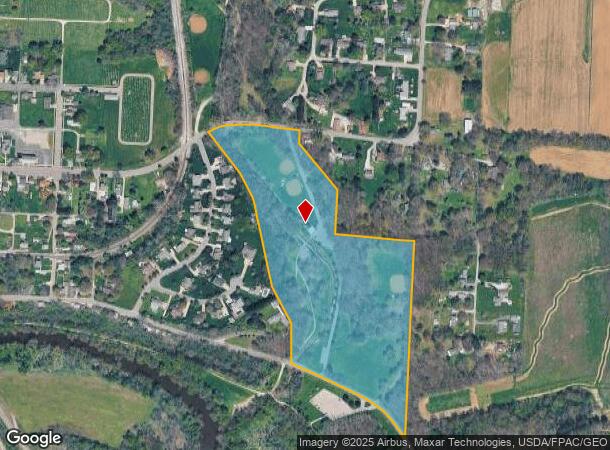
8201 Hudson Dr Sw
01080022
OL 111- 23.90A
Municipalproperty
Stark
A
Ohio
39151C0332E
25.38 AC
0
Stark County
2025
Cleveland
714600
Canton-Massillon, OH
1,950 SF
DEMOGRAPHICS near 8201 Hudson Dr Sw
1 Mile
3 Mile
5 Mile
2024 Total Population
2,587
6,661
32,518
2029 Population
2,561
6,599
32,324
Pop Growth 2024-2029
(1.01%)
(0.93%)
(0.60%)
Average Age
45
45
42
2024 Total Households
1,161
2,862
13,341
HH Growth 2024-2029
(1.03%)
(0.94%)
(0.64%)
Median Household Inc
$62,271
$65,929
$55,305
Avg Household Size
2.20
2.30
2.40
2024 Avg HH Vehicles
2.00
2.00
2.00
Median Home Value
$131,922
$152,389
$141,441
Median Year Built
1955
1965
1962
Nearby Places
Map Layers
Map Styles
 Street
 Aerial
- Restaurants
- Banks
- Shops
- Fitness
- Groceries
PUBLIC TRANSPORTATION
AIRPORT
Akron-Canton Regional
DRIVE
WALK
Distance
Akron-Canton Regional
30 min
21.5 mi
Freight Ports
Port of Toledo
DRIVE
WALK
Distance
Port of Toledo
190 min
158.1 mi
Nearby Properties
Address
Land Use
TOTAL SIZE
Lot Size
Zoning
Address
Land Use
TOTAL SIZE
Lot Size
Zoning
693,236 SF
Address
Land Use
TOTAL SIZE
Lot Size
Zoning
1,160,888 SF
58.06 AC
Address
Land Use
TOTAL SIZE
Lot Size
Zoning
310,252 SF
55.48 AC
Address
Land Use
TOTAL SIZE
Lot Size
Zoning
Address
Land Use
TOTAL SIZE
Lot Size
Zoning
Address
Land Use
TOTAL SIZE
Lot Size
Zoning
208,780 SF
40.77 AC
Address
Land Use
TOTAL SIZE
Lot Size
Zoning
216,760 SF
15.51 AC
Address
Land Use
TOTAL SIZE
Lot Size
Zoning
702,000 SF
49.45 AC
Address
Land Use
TOTAL SIZE
Lot Size
Zoning
492,780 SF
21.73 AC
Address
Land Use
TOTAL SIZE
Lot Size
Zoning
174,284 SF
12.98 AC
Address
Land Use
TOTAL SIZE
Lot Size
Zoning
186,091 SF
15.67 AC
Address
Land Use
TOTAL SIZE
Lot Size
Zoning
509,280 SF
73.57 AC
Address
Land Use
TOTAL SIZE
Lot Size
Zoning
140,818 SF
12.09 AC
Address
Land Use
TOTAL SIZE
Lot Size
Zoning
71,540 SF
7.44 AC
Address
Land Use
TOTAL SIZE
Lot Size
Zoning
48,350 SF
108.79 AC
Address
Land Use
TOTAL SIZE
Lot Size
Zoning
185,678 SF
13.99 AC
Address
Land Use
TOTAL SIZE
Lot Size
Zoning
397,300 SF
43.76 AC
Address
Land Use
TOTAL SIZE
Lot Size
Zoning
37,631 SF
9.08 AC
Address
Land Use
TOTAL SIZE
Lot Size
Zoning
112,773 SF
11.18 AC
Address
Land Use
TOTAL SIZE
Lot Size
Zoning
215,659 SF
35.79 AC
Address
Land Use
TOTAL SIZE
Lot Size
Zoning
183,435 SF
Address
Land Use
TOTAL SIZE
Lot Size
Zoning
50,096 SF
8.20 AC
Address
Land Use
TOTAL SIZE
Lot Size
Zoning
29,831 SF
18.48 AC
Address
Land Use
TOTAL SIZE
Lot Size
Zoning
158,432 SF
7 AC
Address
Land Use
TOTAL SIZE
Lot Size
Zoning
208,925 SF
34.75 AC
Address
Land Use
TOTAL SIZE
Lot Size
Zoning
7,168 SF
28.92 AC
Address
Land Use
TOTAL SIZE
Lot Size
Zoning
19,725 SF
2.29 AC
Address
Land Use
TOTAL SIZE
Lot Size
Zoning
39.51 AC
Address
Land Use
TOTAL SIZE
Lot Size
Zoning
37,440 SF
1.51 AC
Address
Land Use
TOTAL SIZE
Lot Size
Zoning
56,364 SF
7.96 AC
The World's #1 Commercial Real Estate Marketplace
Connect with us
© 2025 CoStar Group
The information above has been obtained from sources believed reliable. While we do not doubt its accuracy we have not verified it and make no guarantee, warranty or representation about it. It is your responsibility to independently confirm its accuracy and completeness. Any projections, opinions, assumptions, or estimates used are for example only and do not represent the current or future performance of the property. The value of this transaction to you depends on tax and other factors which should be evaluated by your tax, financial, and legal advisors. You and your advisors should conduct a careful, independent investigation of the property to determine to your satisfaction the suitability of the property for your needs.