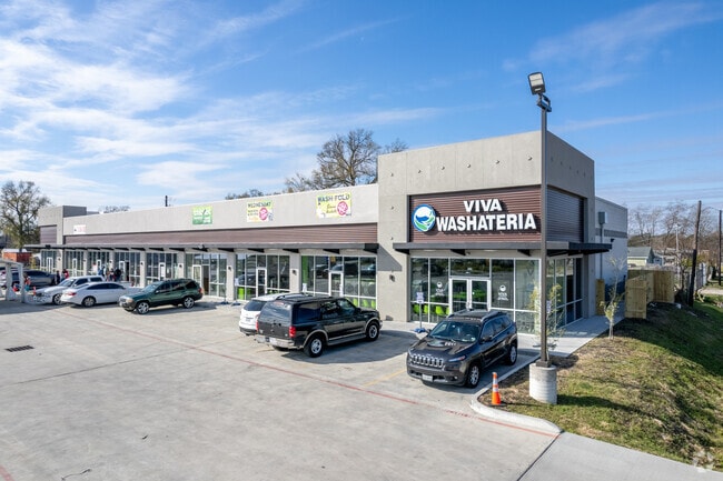
Property Record
822 Freeport St, Houston, TX 77015

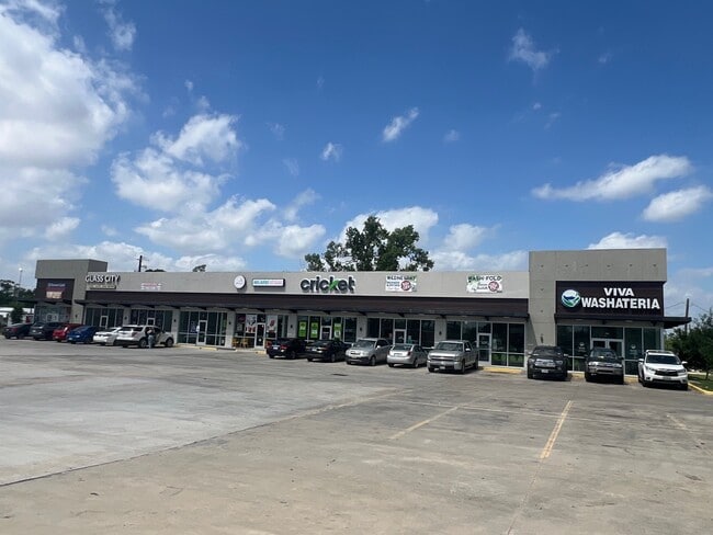
Current Lease Availabilities
Property Detail
822 Freeport St
Houston-Pasadena-The Woodlands, TX
LTS 17 THRU 24 BLK 220 CLOVER LEAF SEC 4
0650720280017
HARRIS
Stripcommercialcenter
Texas
B and X Area of moderate flood hazard, usually the area between the limits of the 100-year and 500-year floods.
17-24
2024
0.98 AC
2025
Pasadena/Galena Park
233103
Houston
11,400 SF
NEARBY LISTINGS FOR SALE OR LEASE
DEMOGRAPHICS near 822 Freeport St
1 mile
3 mile
5 mile
2025 Total Population
23,408
113,633
175,901
2030 Population
24,827
120,661
187,139
Pop Growth 2025-2030
+ 6.06%
+ 6.18%
+ 6.39%
Average Age
34
35
35
2025 Total Households
6,710
35,369
53,838
HH Growth 2025-2030
+ 6.14%
+ 6.39%
+ 6.59%
Median Household Inc
$50,803
$61,438
$60,984
Avg Household Size
3.30
3.10
3.20
2025 Avg HH Vehicles
2.00
2.00
2.00
Median Home Value
$149,429
$200,623
$193,299
Median Year Built
1973
1983
1982
Nearby Places
Map Layers
Map Styles
 Street
 Aerial
Layers
 Traffic
 Biking
Places
Listings with unknown addresses are not visible on the map
- Restaurants
- Banks
- Shops
- Fitness
- Groceries
PUBLIC TRANSPORTATION
AIRPORT
William P Hobby
Drive
Walk
Distance
William P Hobby
31 min
17.8 mi
George Bush Intcntl/Houston
Drive
Walk
Distance
George Bush Intcntl/Houston
29 min
23.2 mi
Freight Ports
Port of Houston
Drive
Walk
Distance
Port of Houston
18 min
9.8 mi
Nearby Properties
Address
Land Use
TOTAL SIZE
Lot Size
Zoning
Address
Land Use
TOTAL SIZE
Lot Size
Zoning
10,093,711 SF
30.83 AC
Address
Land Use
TOTAL SIZE
Lot Size
Zoning
337,331 SF
56.09 AC
Address
Land Use
TOTAL SIZE
Lot Size
Zoning
158.48 AC
Address
Land Use
TOTAL SIZE
Lot Size
Zoning
671,363 SF
61.27 AC
Address
Land Use
TOTAL SIZE
Lot Size
Zoning
2,124,914 SF
243.08 AC
Address
Land Use
TOTAL SIZE
Lot Size
Zoning
30.84 AC
Address
Land Use
TOTAL SIZE
Lot Size
Zoning
520,866 SF
23.25 AC
Address
Land Use
TOTAL SIZE
Lot Size
Zoning
398,995 SF
27.39 AC
Address
Land Use
TOTAL SIZE
Lot Size
Zoning
271,428 SF
10.57 AC
Address
Land Use
TOTAL SIZE
Lot Size
Zoning
450,084 SF
15.13 AC
Address
Land Use
TOTAL SIZE
Lot Size
Zoning
202,544 SF
4.06 AC
Address
Land Use
TOTAL SIZE
Lot Size
Zoning
248,293 SF
13.20 AC
Address
Land Use
TOTAL SIZE
Lot Size
Zoning
187,726 SF
32.24 AC
Address
Land Use
TOTAL SIZE
Lot Size
Zoning
526,975 SF
21.08 AC
Address
Land Use
TOTAL SIZE
Lot Size
Zoning
195,732 SF
19.50 AC
Address
Land Use
TOTAL SIZE
Lot Size
Zoning
889,587 SF
137.68 AC
Address
Land Use
TOTAL SIZE
Lot Size
Zoning
227,679 SF
13.31 AC
Address
Land Use
TOTAL SIZE
Lot Size
Zoning
49,384 SF
69.01 AC
Address
Land Use
TOTAL SIZE
Lot Size
Zoning
235,624 SF
10.06 AC
Address
Land Use
TOTAL SIZE
Lot Size
Zoning
205,001 SF
16.63 AC
Address
Land Use
TOTAL SIZE
Lot Size
Zoning
208,648 SF
8.99 AC
Address
Land Use
TOTAL SIZE
Lot Size
Zoning
377,109 SF
17.36 AC
Address
Land Use
TOTAL SIZE
Lot Size
Zoning
197,953 SF
8.29 AC
Address
Land Use
TOTAL SIZE
Lot Size
Zoning
246,277 SF
10.91 AC
Address
Land Use
TOTAL SIZE
Lot Size
Zoning
104,829 SF
26.14 AC
Address
Land Use
TOTAL SIZE
Lot Size
Zoning
126.46 AC
Address
Land Use
TOTAL SIZE
Lot Size
Zoning
451,243 SF
20.10 AC
Address
Land Use
TOTAL SIZE
Lot Size
Zoning
245,916 SF
12.24 AC
Address
Land Use
TOTAL SIZE
Lot Size
Zoning
202,747 SF
15.93 AC
Address
Land Use
TOTAL SIZE
Lot Size
Zoning
296,173 SF
16.33 AC
The World's #1 Commercial Real Estate Marketplace
Connect with us
© 2026 CoStar Group
The information above has been obtained from sources believed reliable. While we do not doubt its accuracy we have not verified it and make no guarantee, warranty or representation about it. It is your responsibility to independently confirm its accuracy and completeness. Any projections, opinions, assumptions, or estimates used are for example only and do not represent the current or future performance of the property. The value of this transaction to you depends on tax and other factors which should be evaluated by your tax, financial, and legal advisors. You and your advisors should conduct a careful, independent investigation of the property to determine to your satisfaction the suitability of the property for your needs.