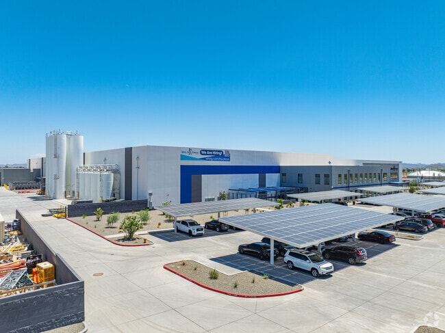
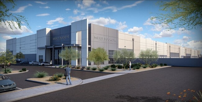
Property Record
8283 S Turner Rd, Buckeye, AZ 85326

Property Detail
8283 S Turner Rd
Phoenix
POR LT 3 BUCKEYE INDUSTRIAL PARK MCR 1530-25 COM NW COR LT 3 TH N 83D 33M E 1709.63F TO POB TH 83D 33M E 148.42 TH S 67D 28M W 42.39F TO BEG NON TAN CUR CONC SELY CH BRG S 46D 58M W 541.71F TH S 19D 11M W 4.02F TH S 1401.84F TH W 826.91F TO BEG TAN C
Phoenix-Mesa-Chandler, AZ
MARICOPA
401-07-014A
Arizona
Commercialacreage
3
2025
34.42 AC
2025
Goodyear
050617
NEARBY LISTINGS FOR SALE OR LEASE
DEMOGRAPHICS near 8283 S Turner Rd
1 mile
3 mile
5 mile
2025 Total Population
21
10,426
32,989
2030 Population
22
10,944
35,074
Pop Growth 2025-2030
+ 4.76%
+ 4.97%
+ 6.32%
Average Age
33
33
34
2025 Total Households
6
3,131
9,854
HH Growth 2025-2030
0.00%
+ 5.05%
+ 6.37%
Median Household Inc
$162,500
$74,366
$85,899
Avg Household Size
3.20
3.20
3.30
2025 Avg HH Vehicles
2.00
2.00
2.00
Median Home Value
$399,999
$370,914
$365,587
Median Year Built
2002
2009
2007
Nearby Places
Map Layers
Map Styles
 Street
 Aerial
Layers
 Traffic
 Biking
Places
Listings with unknown addresses are not visible on the map
- Restaurants
- Banks
- Shops
- Fitness
- Groceries
SALE & LEASE HISTORY
LISTING DATE
SALE/LEASE

Jan 30, 2018
For Lease
Nearby Properties
Address
Land Use
TOTAL SIZE
Lot Size
Zoning
Address
Land Use
TOTAL SIZE
Lot Size
Zoning
228,652 SF
136.91 AC
SU
Address
Land Use
TOTAL SIZE
Lot Size
Zoning
60,201 SF
14.10 AC
PUD
Address
Land Use
TOTAL SIZE
Lot Size
Zoning
20,248 SF
23.16 AC
SU
Address
Land Use
TOTAL SIZE
Lot Size
Zoning
68,332 SF
10.35 AC
R-43
Address
Land Use
TOTAL SIZE
Lot Size
Zoning
178,939 SF
13.98 AC
CC
Address
Land Use
TOTAL SIZE
Lot Size
Zoning
43,524 SF
614.67 AC
RU43
Address
Land Use
TOTAL SIZE
Lot Size
Zoning
136,836 SF
8.85 AC
R-R
Address
Land Use
TOTAL SIZE
Lot Size
Zoning
52,648 SF
10.15 AC
C-G
Address
Land Use
TOTAL SIZE
Lot Size
Zoning
24,119 SF
5.13 AC
CC
Address
Land Use
TOTAL SIZE
Lot Size
Zoning
32,567 SF
7.38 AC
PR
Address
Land Use
TOTAL SIZE
Lot Size
Zoning
16,502 SF
2.26 AC
C-C
Address
Land Use
TOTAL SIZE
Lot Size
Zoning
83.41 AC
GC
Address
Land Use
TOTAL SIZE
Lot Size
Zoning
15,452 SF
6.50 AC
C-G
Address
Land Use
TOTAL SIZE
Lot Size
Zoning
59,598 SF
8.79 AC
C-G
Address
Land Use
TOTAL SIZE
Lot Size
Zoning
28,728 SF
2.33 AC
PUD
Address
Land Use
TOTAL SIZE
Lot Size
Zoning
81.59 AC
R-43
Address
Land Use
TOTAL SIZE
Lot Size
Zoning
36,015 SF
3.65 AC
I-1
Address
Land Use
TOTAL SIZE
Lot Size
Zoning
11,721 SF
3.97 AC
C3
Address
Land Use
TOTAL SIZE
Lot Size
Zoning
13,196 SF
5.35 AC
I-2
Address
Land Use
TOTAL SIZE
Lot Size
Zoning
3,309 SF
2 AC
SU
Address
Land Use
TOTAL SIZE
Lot Size
Zoning
9,476 SF
18.45 AC
IND-2
Address
Land Use
TOTAL SIZE
Lot Size
Zoning
9,942 SF
0.37 AC
CC
Address
Land Use
TOTAL SIZE
Lot Size
Zoning
12,000 SF
4.86 AC
I-1
Address
Land Use
TOTAL SIZE
Lot Size
Zoning
4,730 SF
22.21 AC
R-43
Address
Land Use
TOTAL SIZE
Lot Size
Zoning
15,608 SF
51.01 AC
RU43
Address
Land Use
TOTAL SIZE
Lot Size
Zoning
6,813 SF
2.42 AC
C-C
The World's #1 Commercial Real Estate Marketplace
Connect with us
© 2026 CoStar Group
The information above has been obtained from sources believed reliable. While we do not doubt its accuracy we have not verified it and make no guarantee, warranty or representation about it. It is your responsibility to independently confirm its accuracy and completeness. Any projections, opinions, assumptions, or estimates used are for example only and do not represent the current or future performance of the property. The value of this transaction to you depends on tax and other factors which should be evaluated by your tax, financial, and legal advisors. You and your advisors should conduct a careful, independent investigation of the property to determine to your satisfaction the suitability of the property for your needs.