Property Record
8300 Blk Rawls Ave, Pensacola, FL 32534

NEARBY LISTINGS FOR SALE OR LEASE
Property Detail
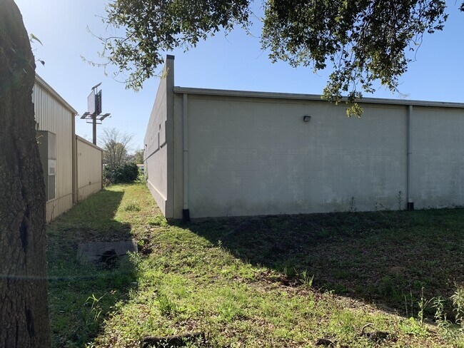
8300 Blk Rawls Ave
Pensacola-Ferry Pass-Brent, FL
Ensley (Figland Park) Plat
11-1S-30-1901-005-115
LTS 5 TO 10 AND E1/2 OF ALLEY ADJOINING ALL LTS ON W BLK 115 MB 16 P 216 ENSLEY PLAT DB 87 P 244 OR 9176 P 206 SEC 22/11 T 1S R 30
Commercialacreage
Escambia
X
Florida
12033C0295G
5
2024
0.51 AC
2025
Ensley/N Brent
003400
Pensacola
DEMOGRAPHICS near 8300 Blk Rawls Ave
1 Mile
3 Mile
5 Mile
2024 Total Population
6,124
46,956
122,026
2029 Population
6,326
47,883
123,937
Pop Growth 2024-2029
+ 3.30%
+ 1.97%
+ 1.57%
Average Age
39
40
39
2024 Total Households
2,420
19,752
48,130
HH Growth 2024-2029
+ 3.31%
+ 2.01%
+ 1.56%
Median Household Inc
$39,494
$53,414
$53,615
Avg Household Size
2.30
2.30
2.30
2024 Avg HH Vehicles
2.00
2.00
2.00
Median Home Value
$89,892
$180,723
$188,911
Median Year Built
1985
1987
1985
Nearby Places
Map Layers
Map Styles
 Street
 Aerial
- Restaurants
- Banks
- Shops
- Fitness
- Groceries
PUBLIC TRANSPORTATION
AIRPORT
Pensacola International
DRIVE
WALK
Distance
Pensacola International
17 min
9.1 mi
Freight Ports
Port of Mobile
DRIVE
WALK
Distance
Port of Mobile
59 min
50.5 mi
SALE & LEASE HISTORY
LISTING DATE
SALE/LEASE

Sep 25, 2016
For Lease
Oct 18, 2022
For Sale
Jul 27, 2022
For Lease
Nearby Properties
Address
Land Use
TOTAL SIZE
Lot Size
Zoning
Address
Land Use
TOTAL SIZE
Lot Size
Zoning
368,851 SF
19.16 AC
HDMU,REC
Address
Land Use
TOTAL SIZE
Lot Size
Zoning
336,376 SF
19.68 AC
HDMU
Address
Land Use
TOTAL SIZE
Lot Size
Zoning
266,096 SF
13.46 AC
HDMU
Address
Land Use
TOTAL SIZE
Lot Size
Zoning
274,822 SF
12.67 AC
HC/LI
Address
Land Use
TOTAL SIZE
Lot Size
Zoning
295,911 SF
15.53 AC
HC/LI,HDR
Address
Land Use
TOTAL SIZE
Lot Size
Zoning
264,273 SF
15.97 AC
HC/LI
Address
Land Use
TOTAL SIZE
Lot Size
Zoning
303,273 SF
9.95 AC
HC/LI
Address
Land Use
TOTAL SIZE
Lot Size
Zoning
305,650 SF
21.90 AC
HDMU
Address
Land Use
TOTAL SIZE
Lot Size
Zoning
280,848 SF
15 AC
COM,HDMU
Address
Land Use
TOTAL SIZE
Lot Size
Zoning
269,404 SF
23.85 AC
HDMU
Address
Land Use
TOTAL SIZE
Lot Size
Zoning
263,838 SF
9.03 AC
HC/LI
Address
Land Use
TOTAL SIZE
Lot Size
Zoning
1,350,030 SF
80 AC
REC
Address
Land Use
TOTAL SIZE
Lot Size
Zoning
265,012 SF
14.51 AC
HC/LI
Address
Land Use
TOTAL SIZE
Lot Size
Zoning
238,060 SF
21.93 AC
HDMU
Address
Land Use
TOTAL SIZE
Lot Size
Zoning
262,823 SF
11.57 AC
HDMU
Address
Land Use
TOTAL SIZE
Lot Size
Zoning
329,935 SF
46.34 AC
COM
Address
Land Use
TOTAL SIZE
Lot Size
Zoning
202,638 SF
9.43 AC
HDMU
Address
Land Use
TOTAL SIZE
Lot Size
Zoning
94,378 SF
11.56 AC
HC/LI
Address
Land Use
TOTAL SIZE
Lot Size
Zoning
109,855 SF
16.70 AC
COM
Address
Land Use
TOTAL SIZE
Lot Size
Zoning
176,462 SF
9.51 AC
HDR
Address
Land Use
TOTAL SIZE
Lot Size
Zoning
83,923 SF
6.70 AC
HC/LI
Address
Land Use
TOTAL SIZE
Lot Size
Zoning
106,507 SF
12.71 AC
HDMU
Address
Land Use
TOTAL SIZE
Lot Size
Zoning
87,454 SF
2.27 AC
HDMU
Address
Land Use
TOTAL SIZE
Lot Size
Zoning
219,541 SF
18.71 AC
HC/LI
Address
Land Use
TOTAL SIZE
Lot Size
Zoning
99,164 SF
9.67 AC
HDMU
Address
Land Use
TOTAL SIZE
Lot Size
Zoning
129,518 SF
6.44 AC
HDMU
Address
Land Use
TOTAL SIZE
Lot Size
Zoning
137,916 SF
6.81 AC
HDMU
Address
Land Use
TOTAL SIZE
Lot Size
Zoning
77,650 SF
7.32 AC
HDMU
Address
Land Use
TOTAL SIZE
Lot Size
Zoning
131,408 SF
21.67 AC
HC/LI
Address
Land Use
TOTAL SIZE
Lot Size
Zoning
160,211 SF
34 AC
HDMU
The World's #1 Commercial Real Estate Marketplace
Connect with us
© 2026 CoStar Group
The information above has been obtained from sources believed reliable. While we do not doubt its accuracy we have not verified it and make no guarantee, warranty or representation about it. It is your responsibility to independently confirm its accuracy and completeness. Any projections, opinions, assumptions, or estimates used are for example only and do not represent the current or future performance of the property. The value of this transaction to you depends on tax and other factors which should be evaluated by your tax, financial, and legal advisors. You and your advisors should conduct a careful, independent investigation of the property to determine to your satisfaction the suitability of the property for your needs.