Property Record
83 Highway, Littleton, CO 80126


Property Detail
83 Highway
Denver-Aurora-Centennial, CO
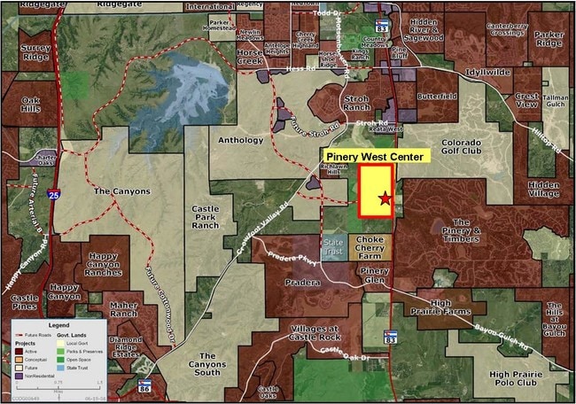
LOT 1 THE PINERY #25 1.561 AM/L
2349-100-03-001
DOUGLAS
Commercialacreage
Colorado
PDU
1
B and X Area of moderate flood hazard, usually the area between the limits of the 100-year and 500-year floods.
1.56 AC
2024
Parker/Castle Rock
2026
Denver
0141341001
NEARBY LISTINGS FOR SALE OR LEASE
DEMOGRAPHICS near 83 Highway
1 mile
3 mile
5 mile
2025 Total Population
2,282
31,515
83,733
2030 Population
2,538
34,547
90,959
Pop Growth 2025-2030
+ 11.22%
+ 9.62%
+ 8.63%
Average Age
44
41
39
2025 Total Households
786
10,736
28,394
HH Growth 2025-2030
+ 10.94%
+ 9.58%
+ 8.75%
Median Household Inc
$166,022
$158,976
$153,988
Avg Household Size
2.80
2.90
2.90
2025 Avg HH Vehicles
3.00
2.00
2.00
Median Home Value
$792,953
$781,152
$758,209
Median Year Built
1992
2004
2003
Nearby Places
Map Layers
Map Styles
 Street
 Aerial
Layers
 Traffic
 Biking
Places
Listings with unknown addresses are not visible on the map
- Restaurants
- Banks
- Shops
- Fitness
- Groceries
PUBLIC TRANSPORTATION
AIRPORT
Denver International
Drive
Walk
Distance
Denver International
40 min
34.5 mi
SALE & LEASE HISTORY
LISTING DATE
SALE/LEASE

Sep 24, 2016
For Sale
Nearby Properties
Address
Land Use
TOTAL SIZE
Lot Size
Zoning
Address
Land Use
TOTAL SIZE
Lot Size
Zoning
234,588 SF
46.71 AC
A1
Address
Land Use
TOTAL SIZE
Lot Size
Zoning
103,663 SF
22.48 AC
Address
Land Use
TOTAL SIZE
Lot Size
Zoning
126,826 SF
23.30 AC
PDU
Address
Land Use
TOTAL SIZE
Lot Size
Zoning
72,346 SF
8.02 AC
Address
Land Use
TOTAL SIZE
Lot Size
Zoning
302,161 SF
11.02 AC
Address
Land Use
TOTAL SIZE
Lot Size
Zoning
258,822 SF
62.72 AC
PDU
Address
Land Use
TOTAL SIZE
Lot Size
Zoning
56,868 SF
10.01 AC
Address
Land Use
TOTAL SIZE
Lot Size
Zoning
41,273 SF
5.70 AC
Address
Land Use
TOTAL SIZE
Lot Size
Zoning
86,539 SF
9.30 AC
Address
Land Use
TOTAL SIZE
Lot Size
Zoning
2,289 SF
1.14 AC
PDU
Address
Land Use
TOTAL SIZE
Lot Size
Zoning
24,116 SF
3.91 AC
Address
Land Use
TOTAL SIZE
Lot Size
Zoning
22,817 SF
6.50 AC
Address
Land Use
TOTAL SIZE
Lot Size
Zoning
26,860 SF
4.83 AC
RR
Address
Land Use
TOTAL SIZE
Lot Size
Zoning
19,590 SF
3.91 AC
Address
Land Use
TOTAL SIZE
Lot Size
Zoning
31,393 SF
8.41 AC
Address
Land Use
TOTAL SIZE
Lot Size
Zoning
48,638 SF
6.57 AC
PDU
Address
Land Use
TOTAL SIZE
Lot Size
Zoning
20,823 SF
136.96 AC
PDU
Address
Land Use
TOTAL SIZE
Lot Size
Zoning
890 SF
335.39 AC
PDNU
Address
Land Use
TOTAL SIZE
Lot Size
Zoning
20,301 SF
2.47 AC
Address
Land Use
TOTAL SIZE
Lot Size
Zoning
40,073 SF
11.54 AC
PDNU
Address
Land Use
TOTAL SIZE
Lot Size
Zoning
22,245 SF
7.70 AC
PDU
Address
Land Use
TOTAL SIZE
Lot Size
Zoning
46,112 SF
15 AC
PDU
Address
Land Use
TOTAL SIZE
Lot Size
Zoning
15,186 SF
3.16 AC
PDNU
Address
Land Use
TOTAL SIZE
Lot Size
Zoning
10,800 SF
1.67 AC
Address
Land Use
TOTAL SIZE
Lot Size
Zoning
11,408 SF
0.82 AC
Address
Land Use
TOTAL SIZE
Lot Size
Zoning
14,528 SF
1.81 AC
Address
Land Use
TOTAL SIZE
Lot Size
Zoning
19,574 SF
1.56 AC
Address
Land Use
TOTAL SIZE
Lot Size
Zoning
12,664 SF
21.89 AC
PDU
Address
Land Use
TOTAL SIZE
Lot Size
Zoning
10,178 SF
2.11 AC
Address
Land Use
TOTAL SIZE
Lot Size
Zoning
1,982 SF
3.45 AC
The World's #1 Commercial Real Estate Marketplace
Connect with us
© 2026 CoStar Group
The information above has been obtained from sources believed reliable. While we do not doubt its accuracy we have not verified it and make no guarantee, warranty or representation about it. It is your responsibility to independently confirm its accuracy and completeness. Any projections, opinions, assumptions, or estimates used are for example only and do not represent the current or future performance of the property. The value of this transaction to you depends on tax and other factors which should be evaluated by your tax, financial, and legal advisors. You and your advisors should conduct a careful, independent investigation of the property to determine to your satisfaction the suitability of the property for your needs.